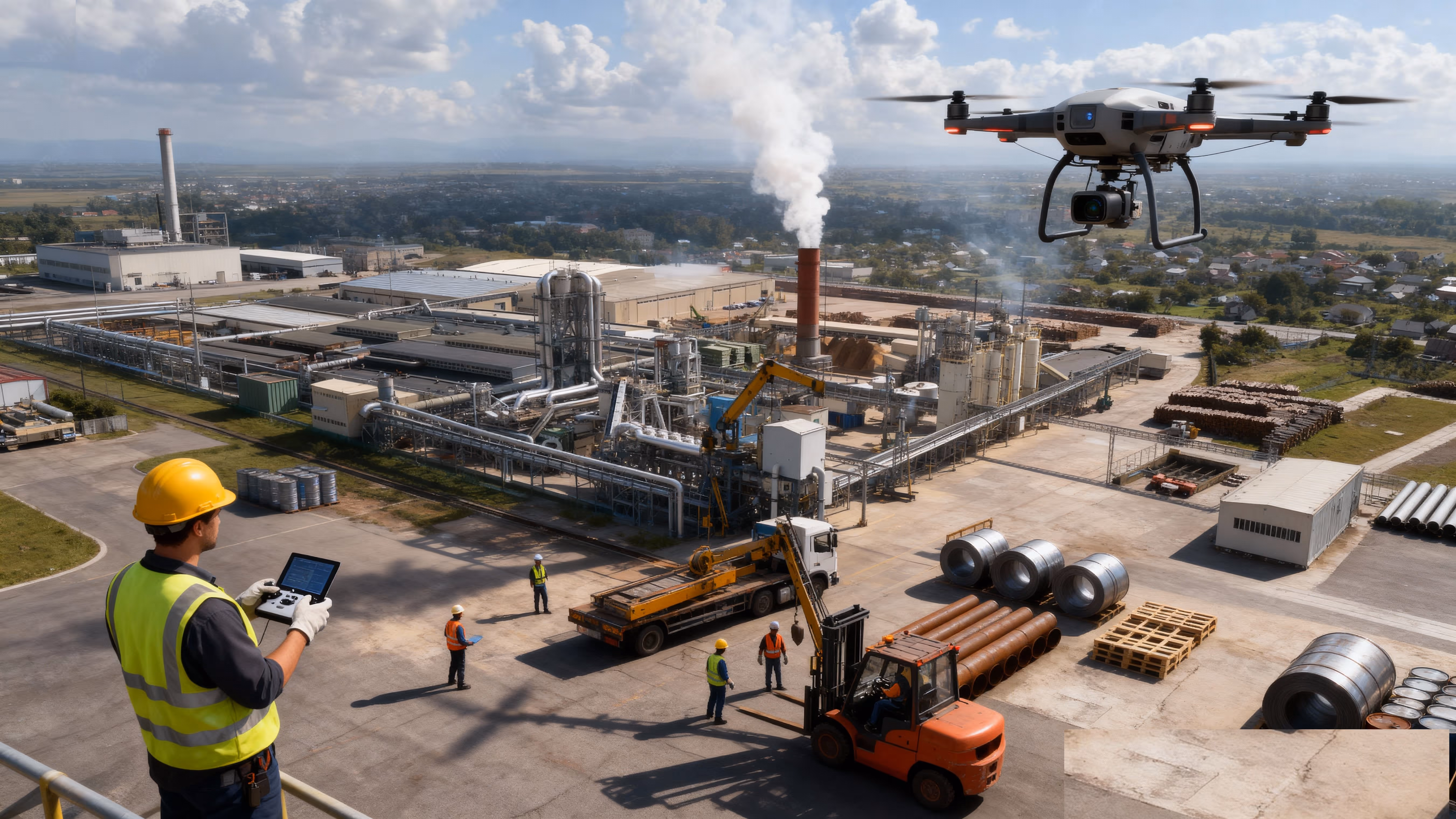
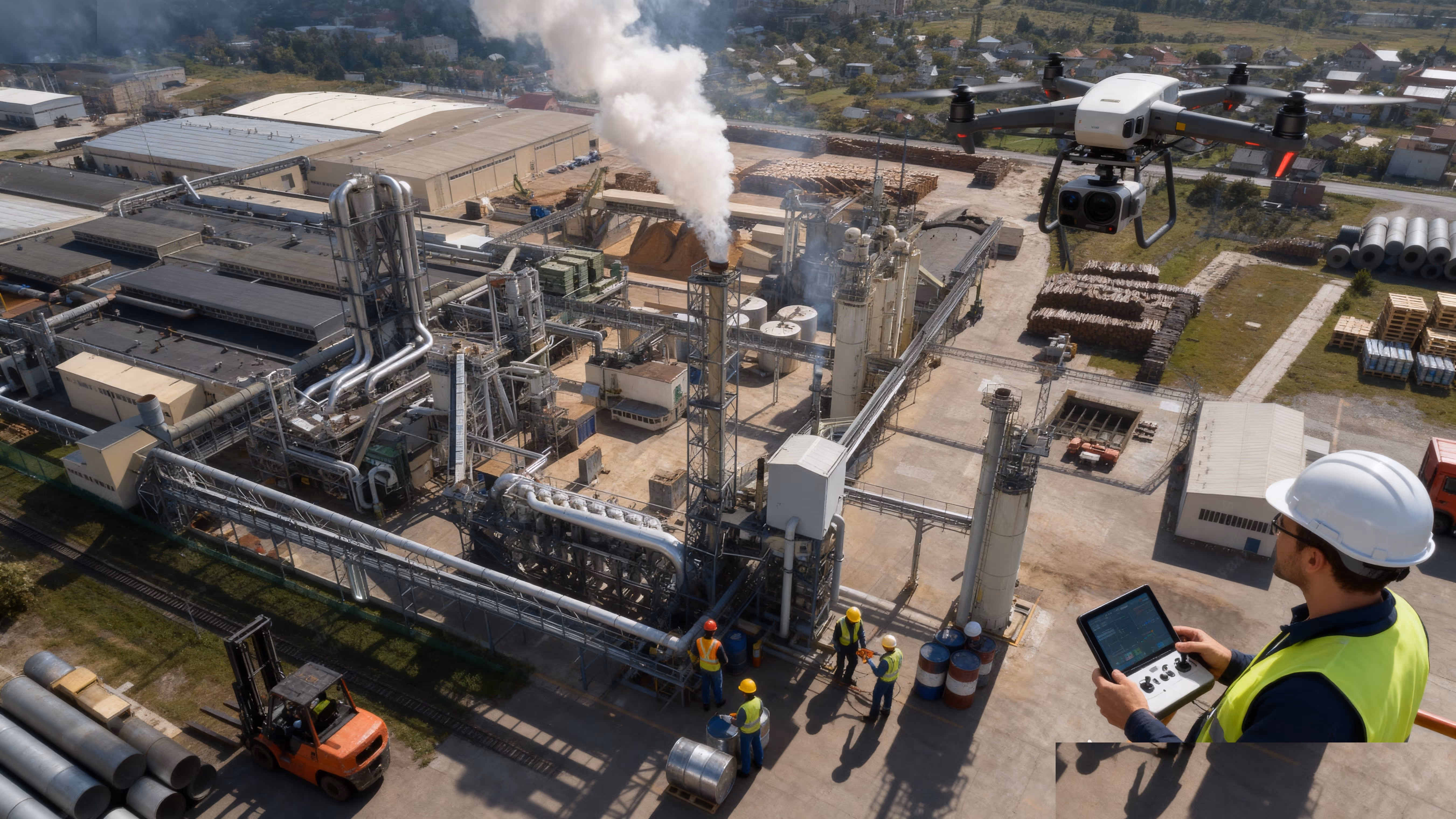
Industries and Solutions.
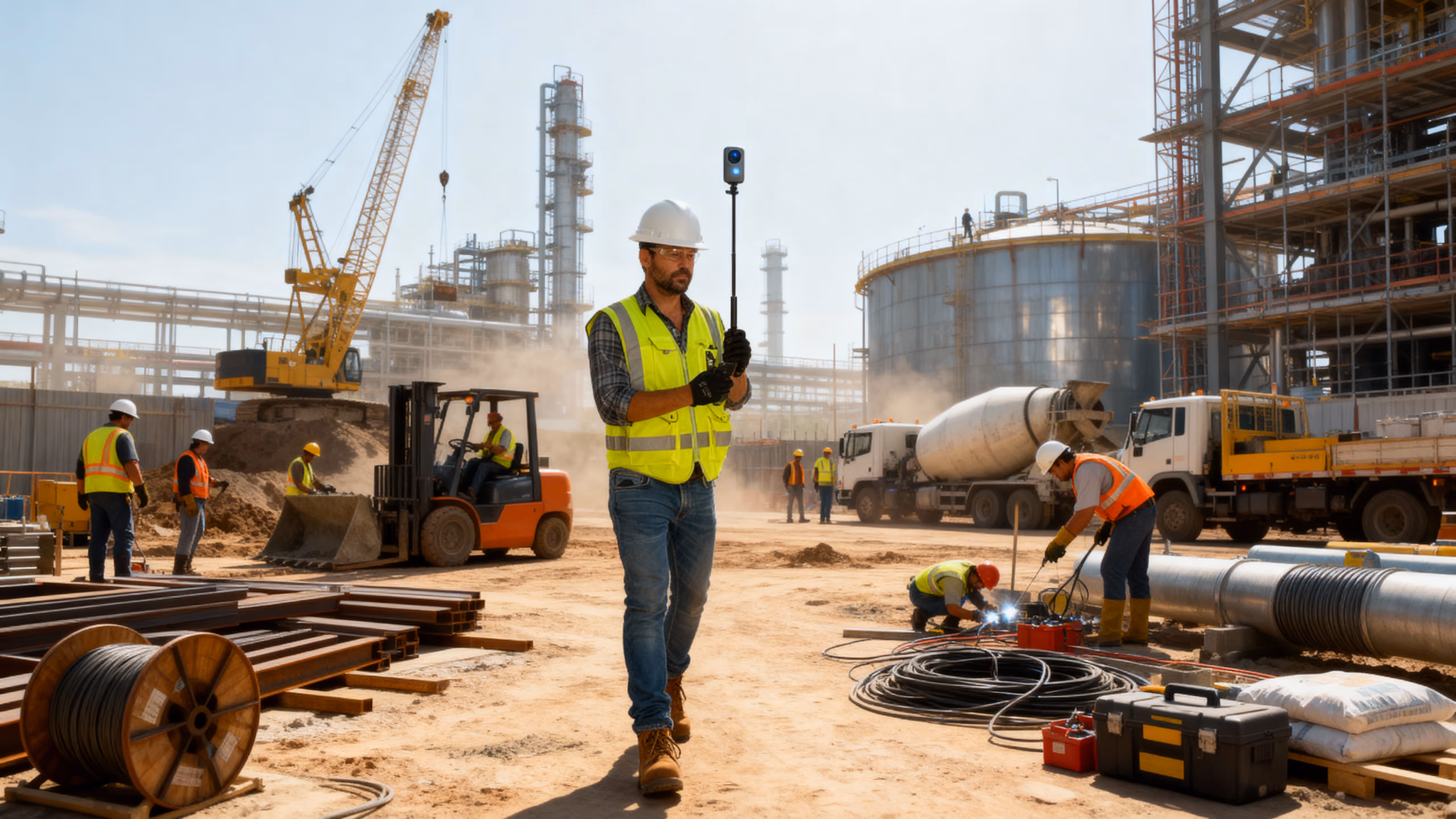
Empowering Industries with Precision Vision Technology for Safer, Smarter and More Efficient Operations
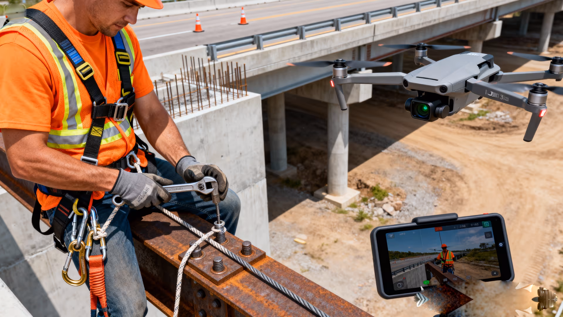
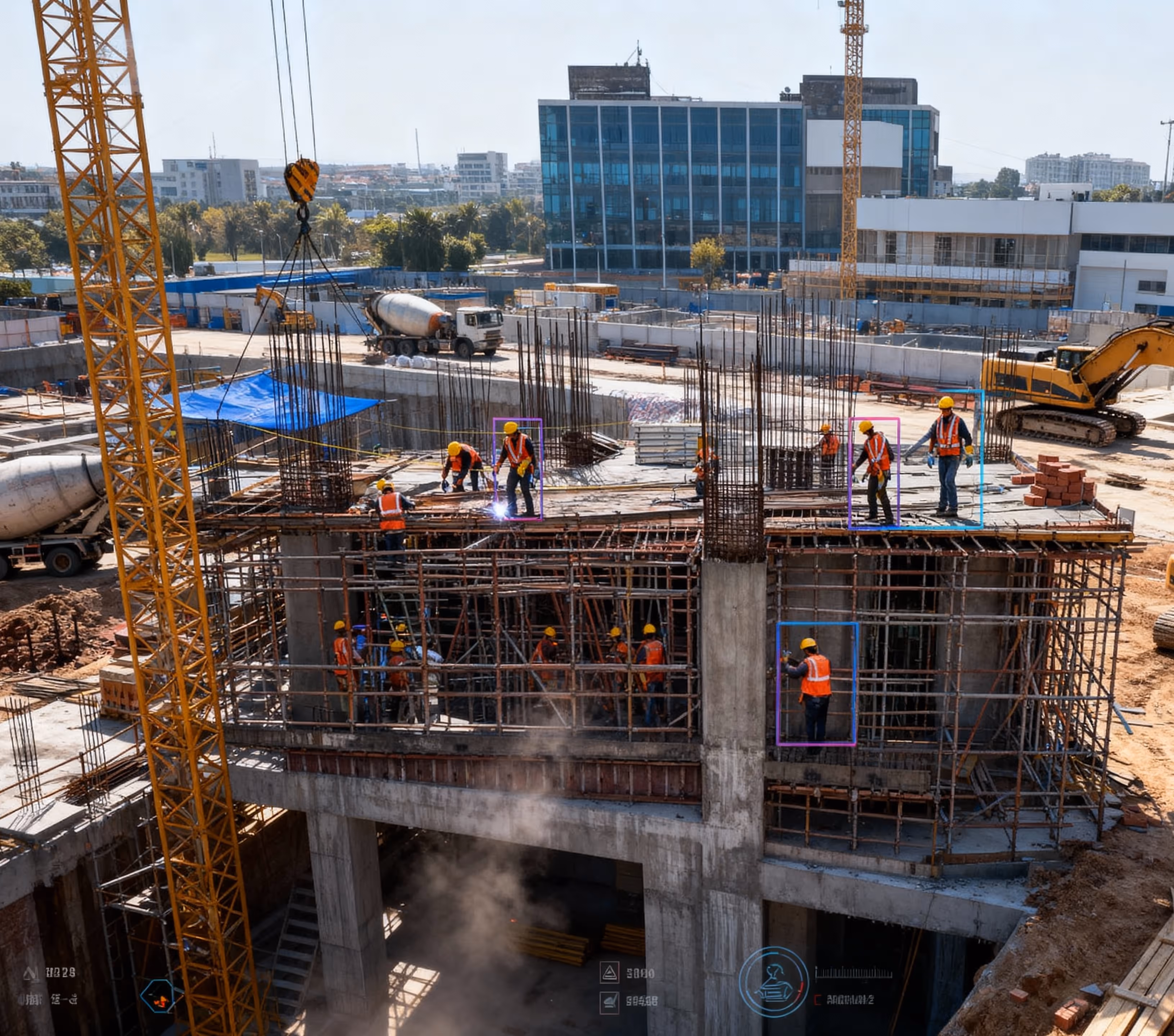
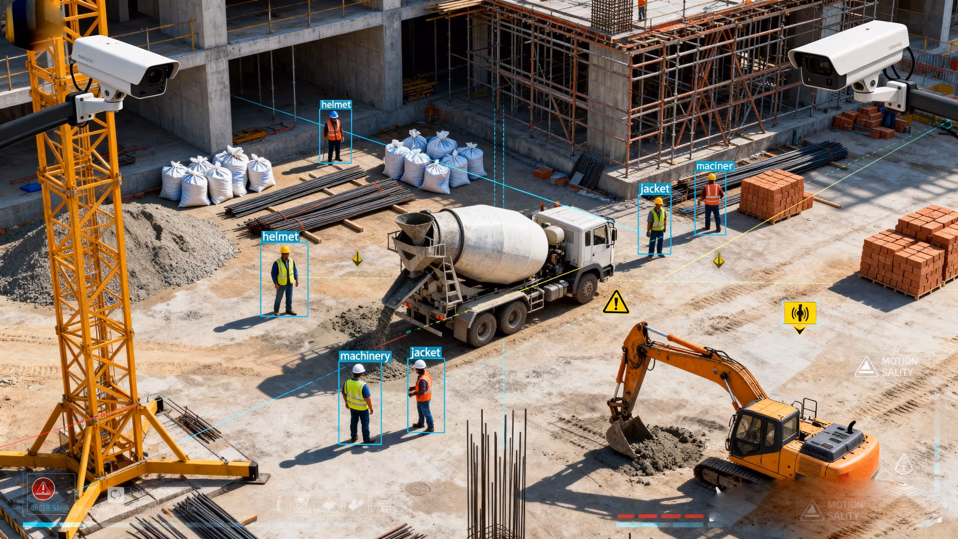
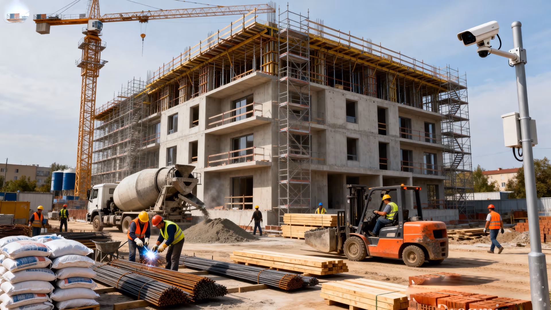
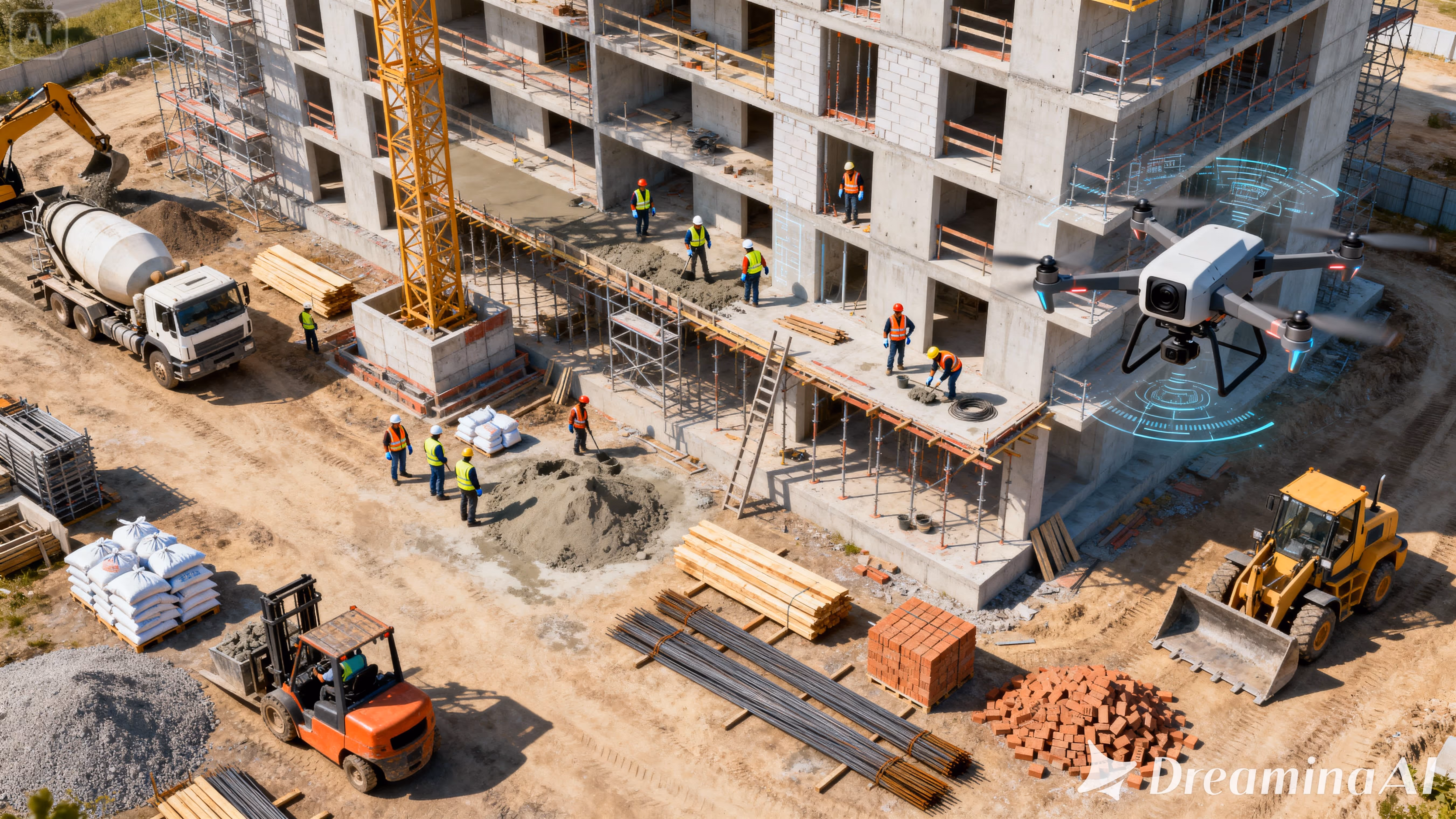
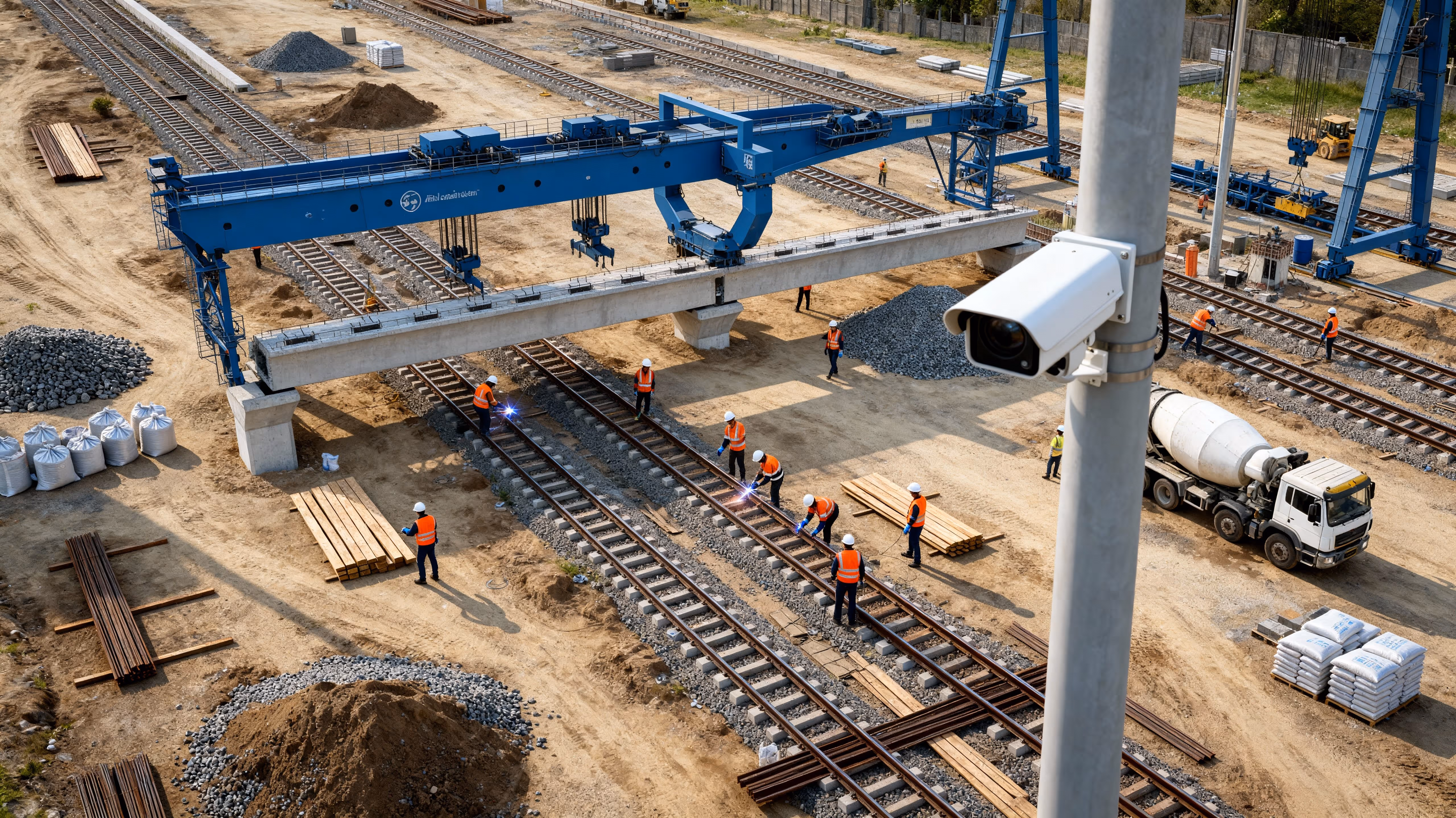
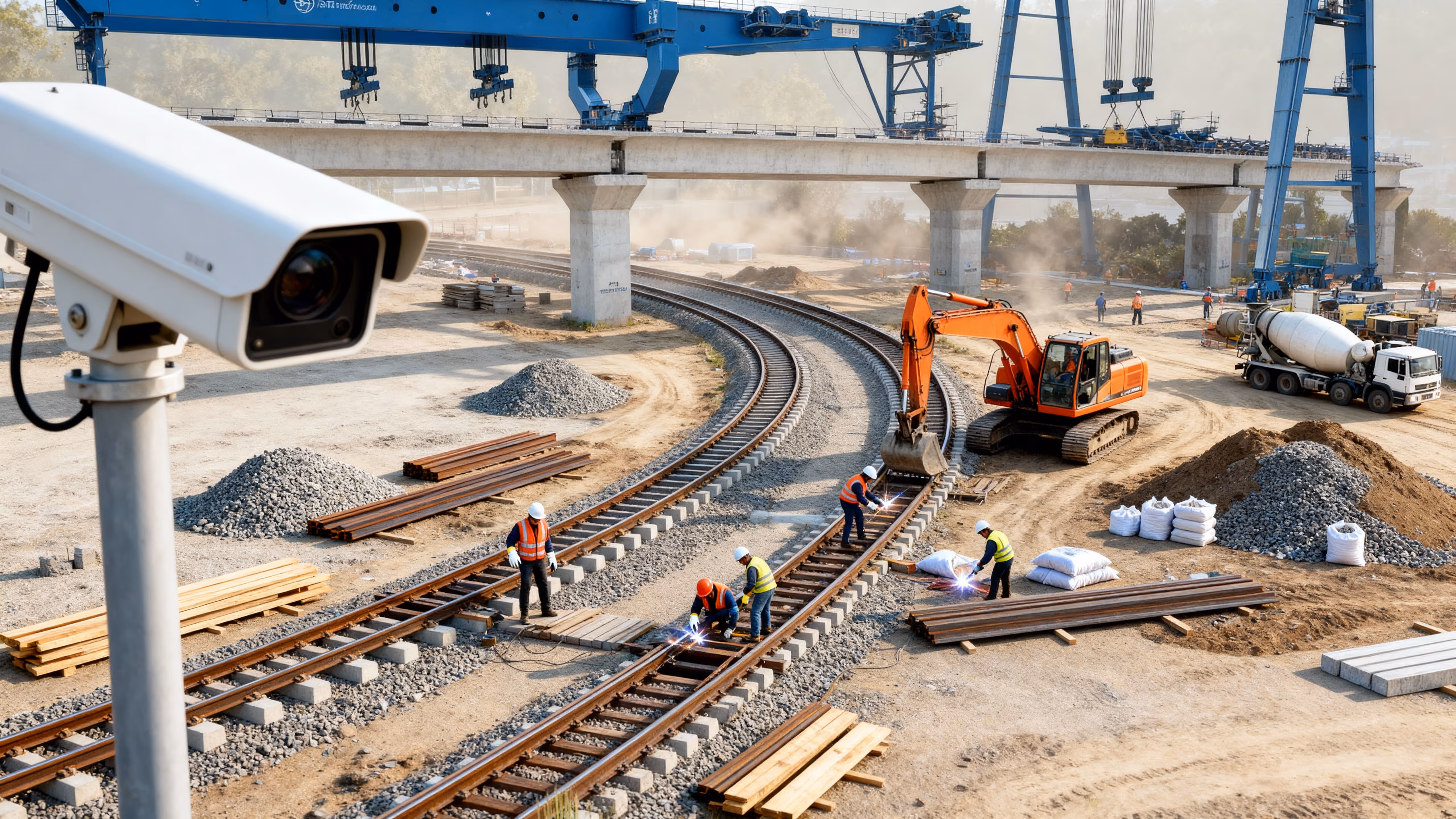
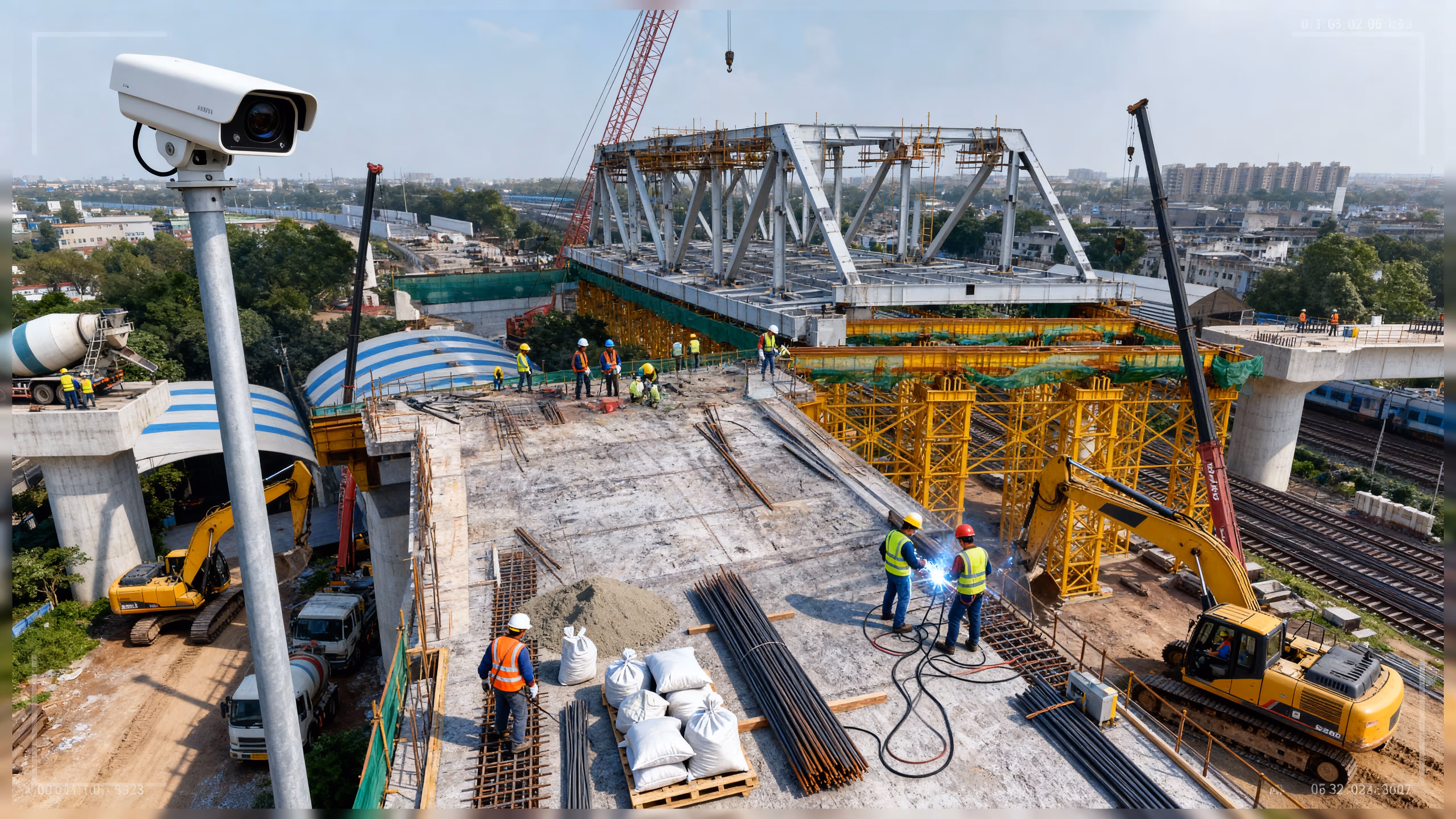
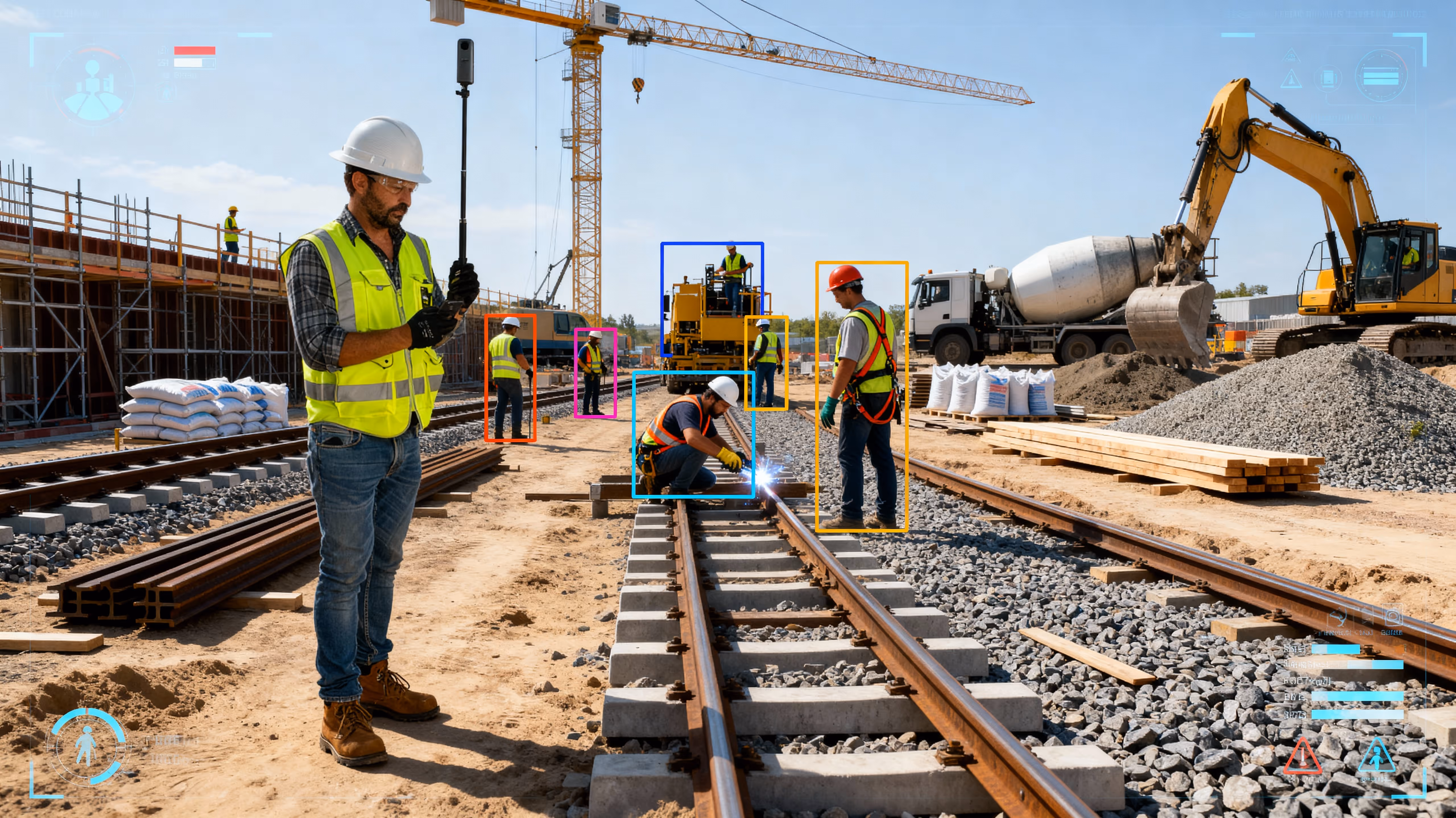
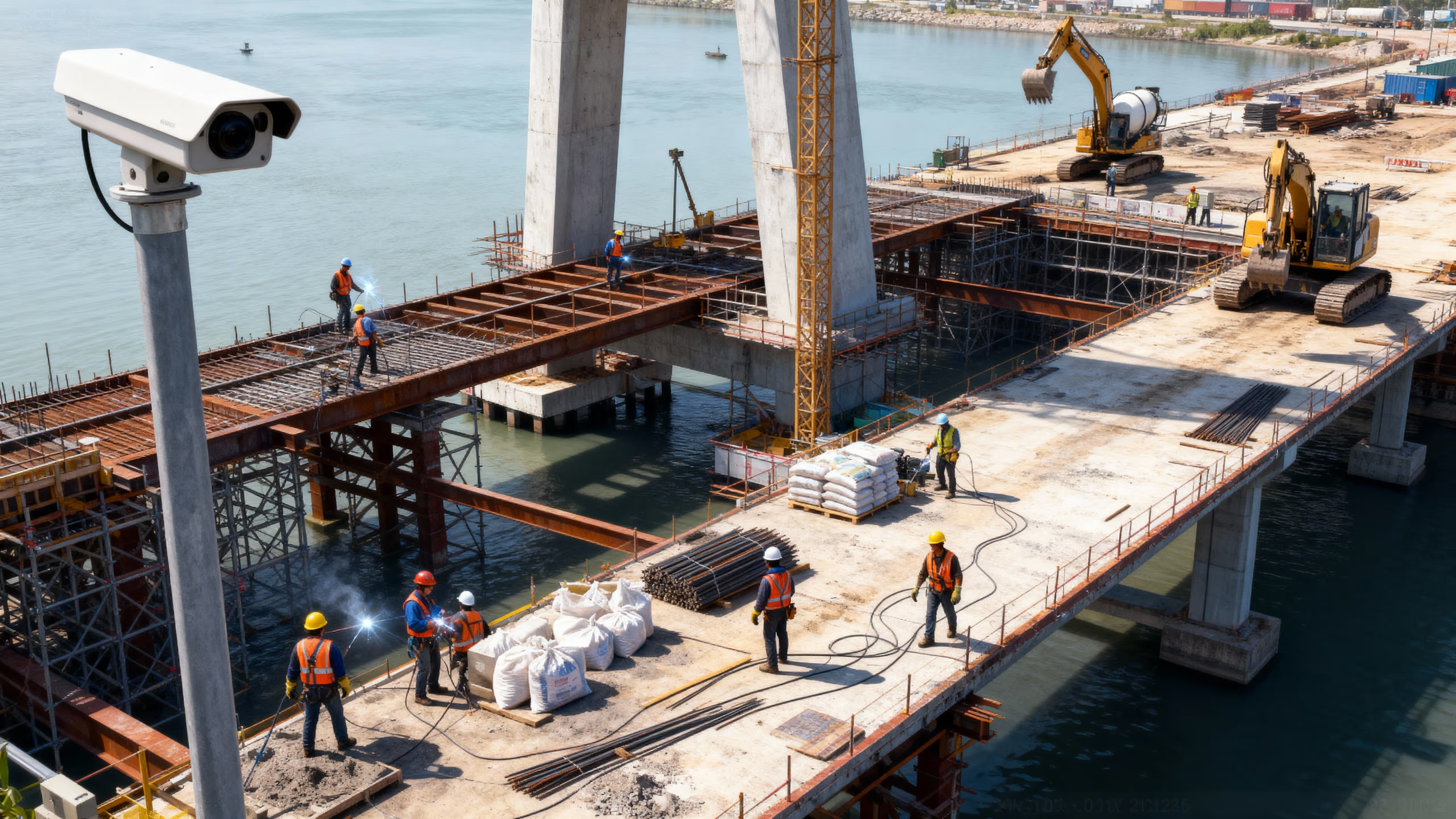
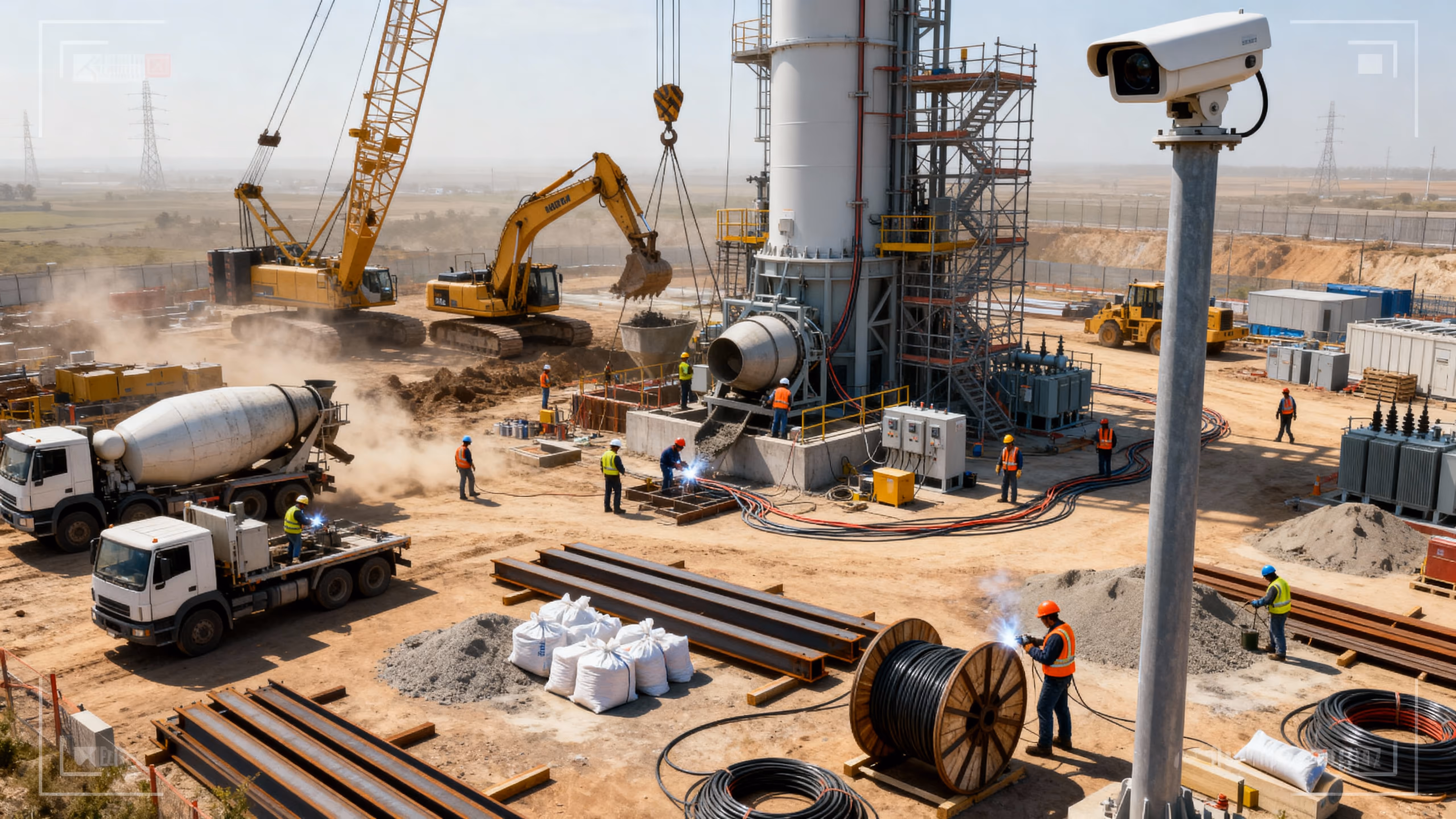
Intelligent Monitoring for Seamless Infrastructure Delivery
Engineered for engineers
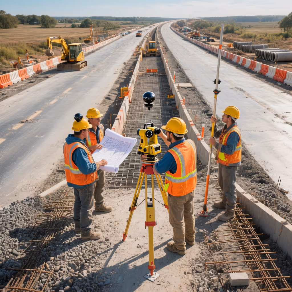
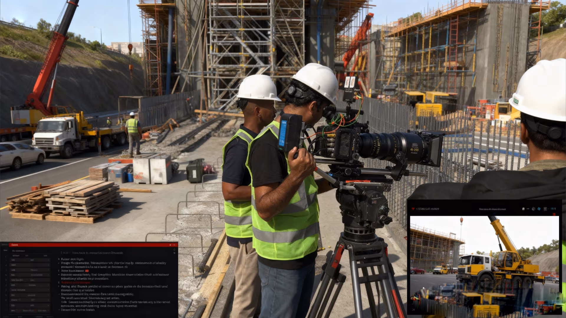
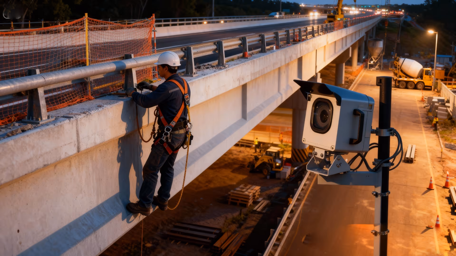
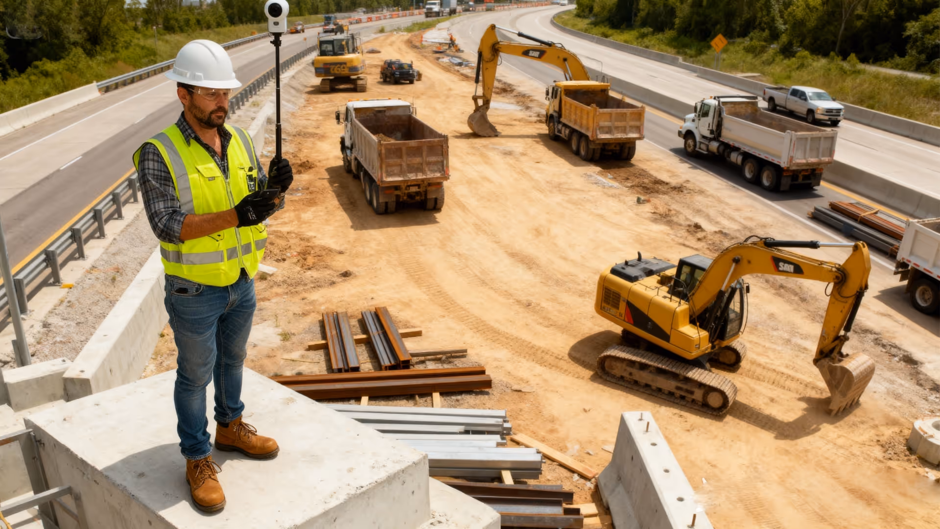
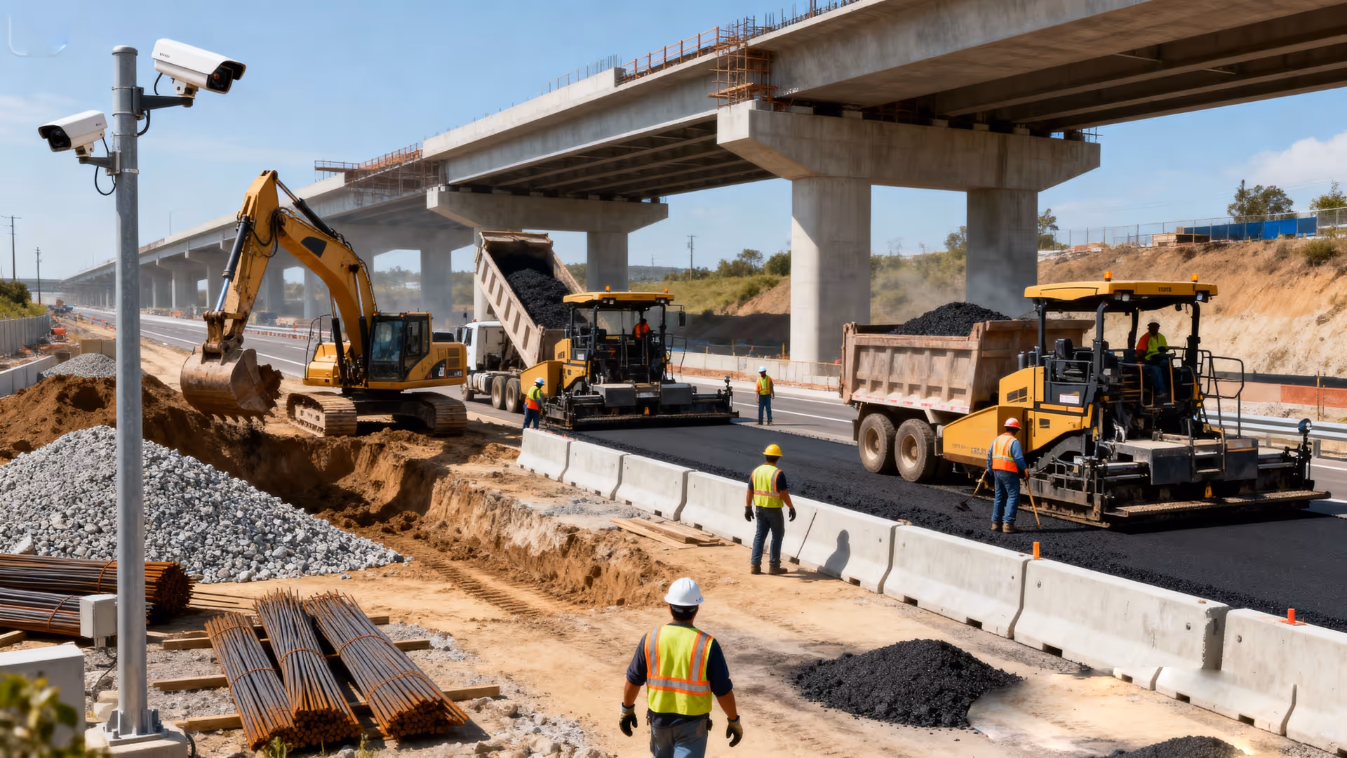
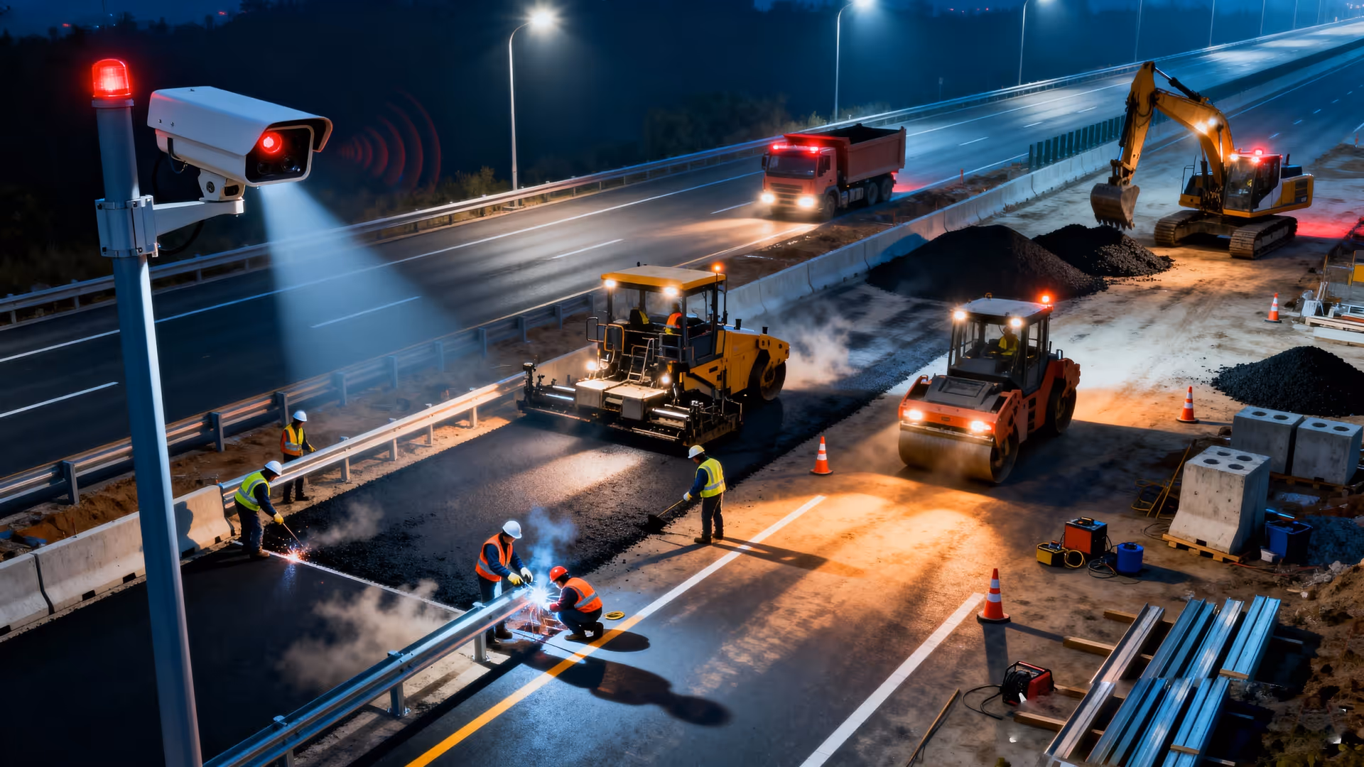
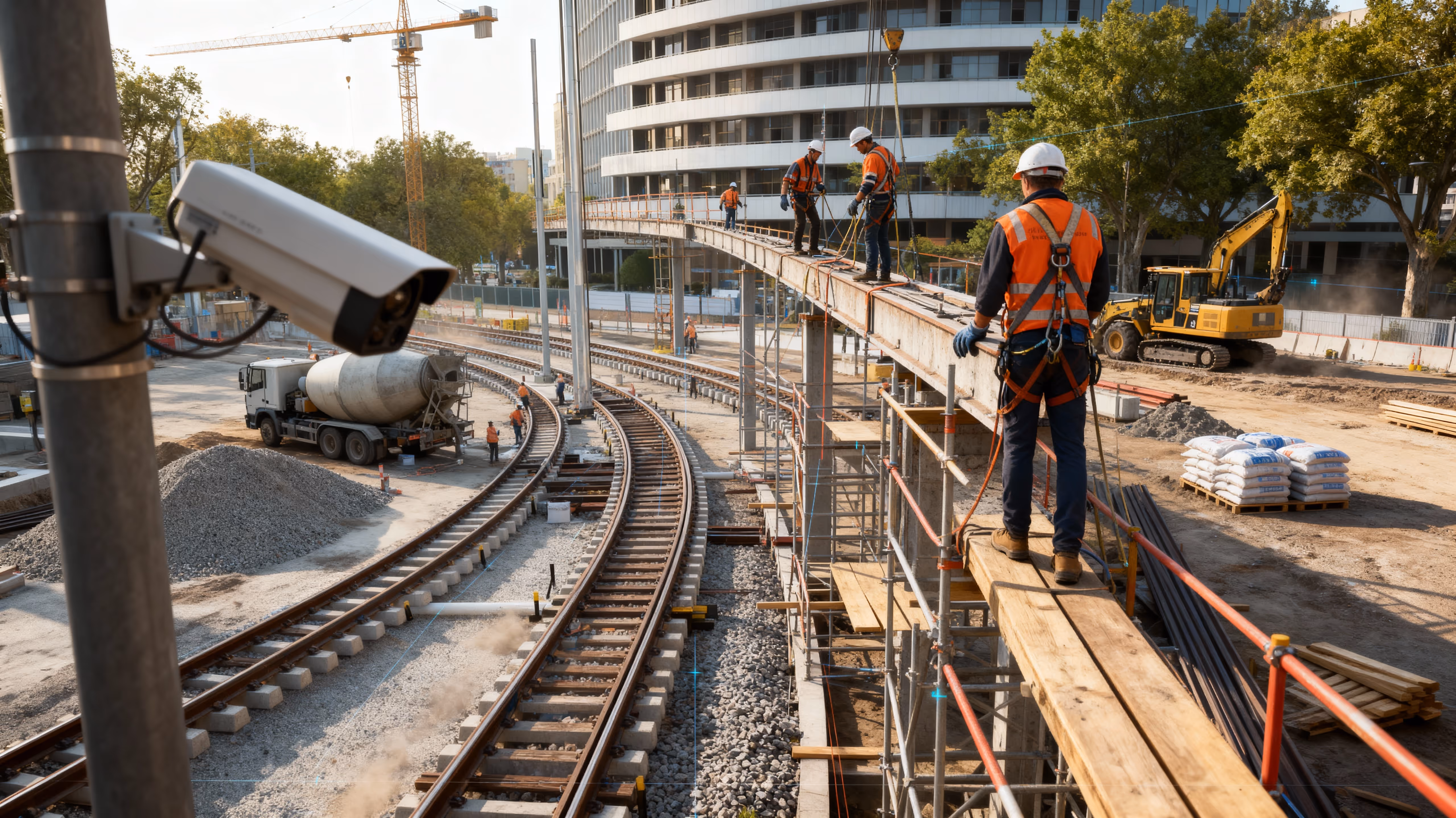
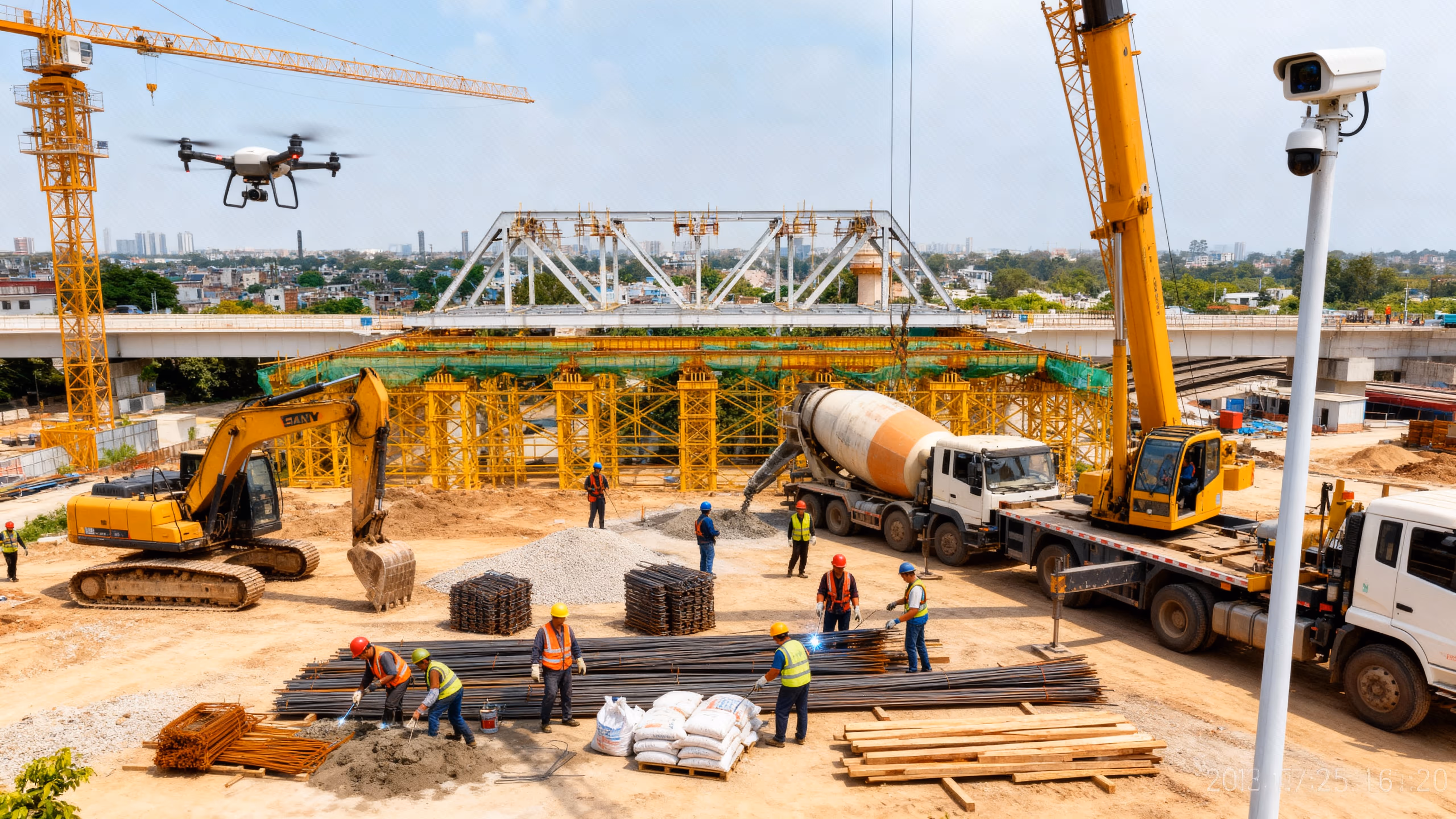
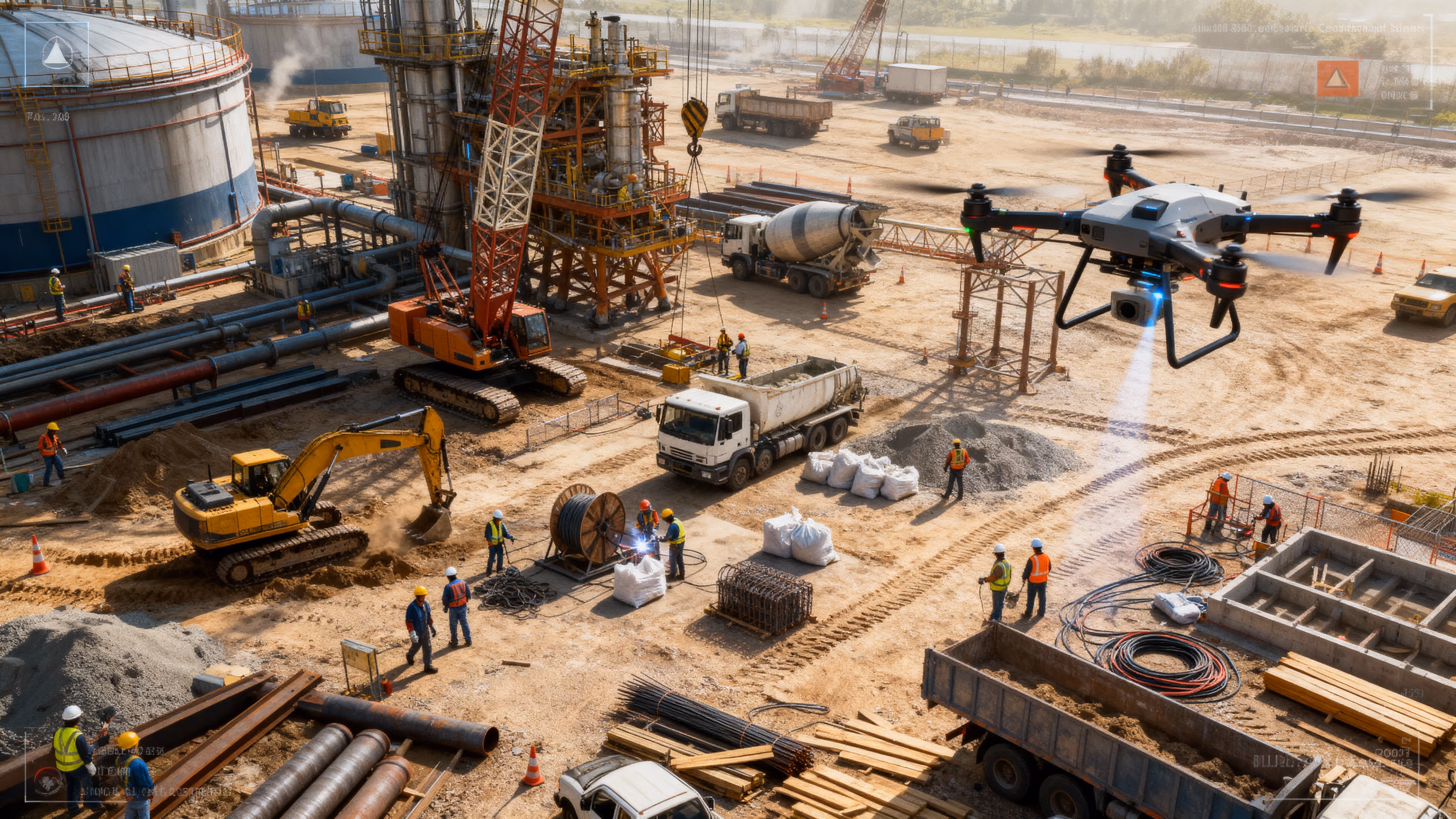
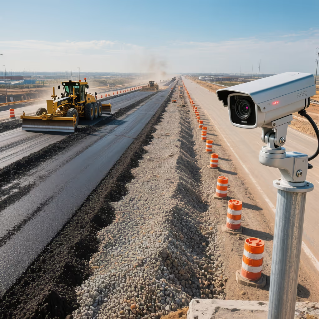
Highway
VOTACT™ facilitates comprehensive infrastructure oversight through the integration of drone mapping, AI-enhanced CCTV, and time-lapse documentation.
This system meticulously monitors each segment of the roadway for adherence to quality standards, progress benchmarks, and safety regulations, thereby ensuring that all project milestones are achieved with efficiency and transparency.

Improves schedule compliance and provides audit-grade footage for milestone verification.
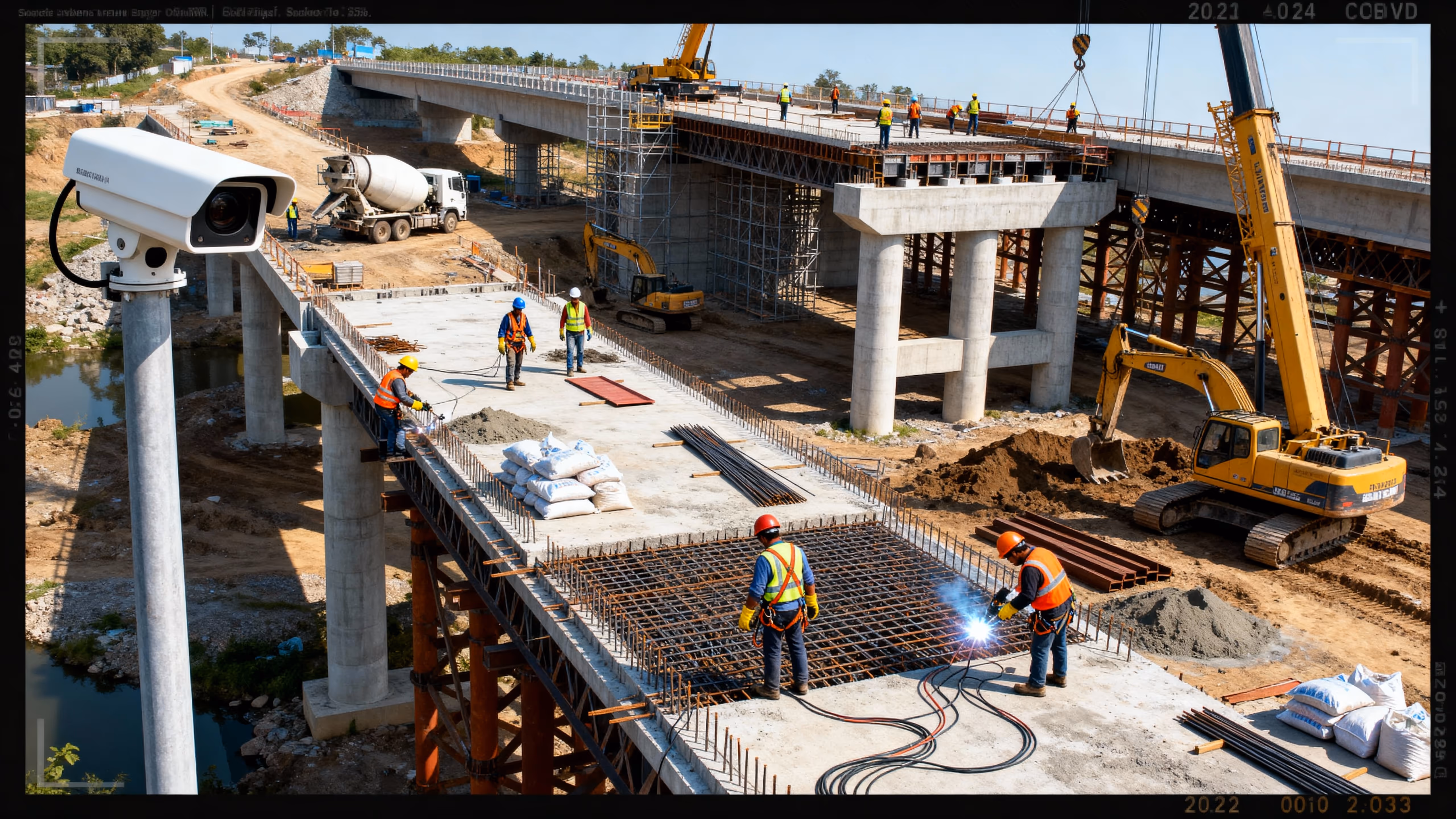
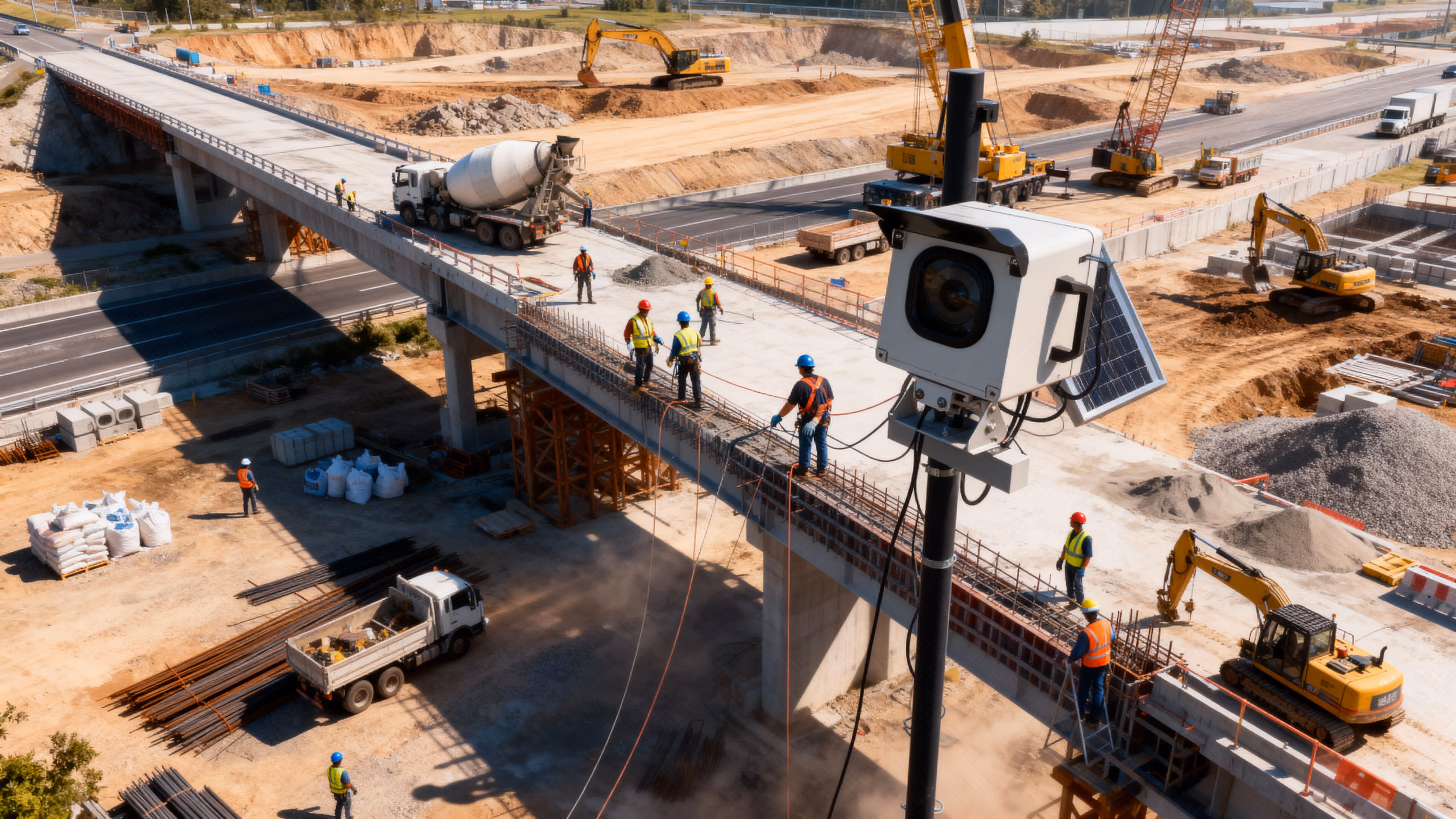
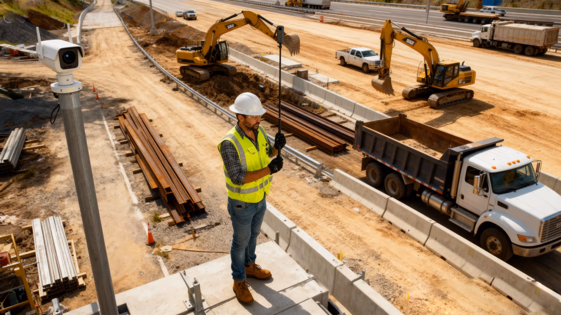
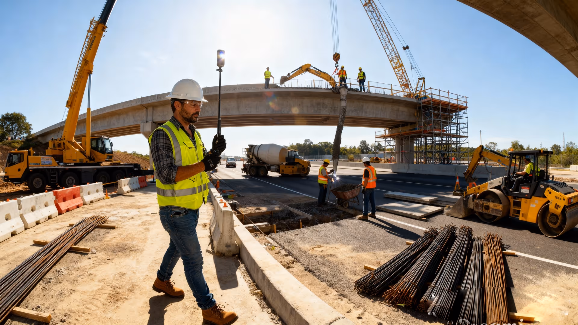
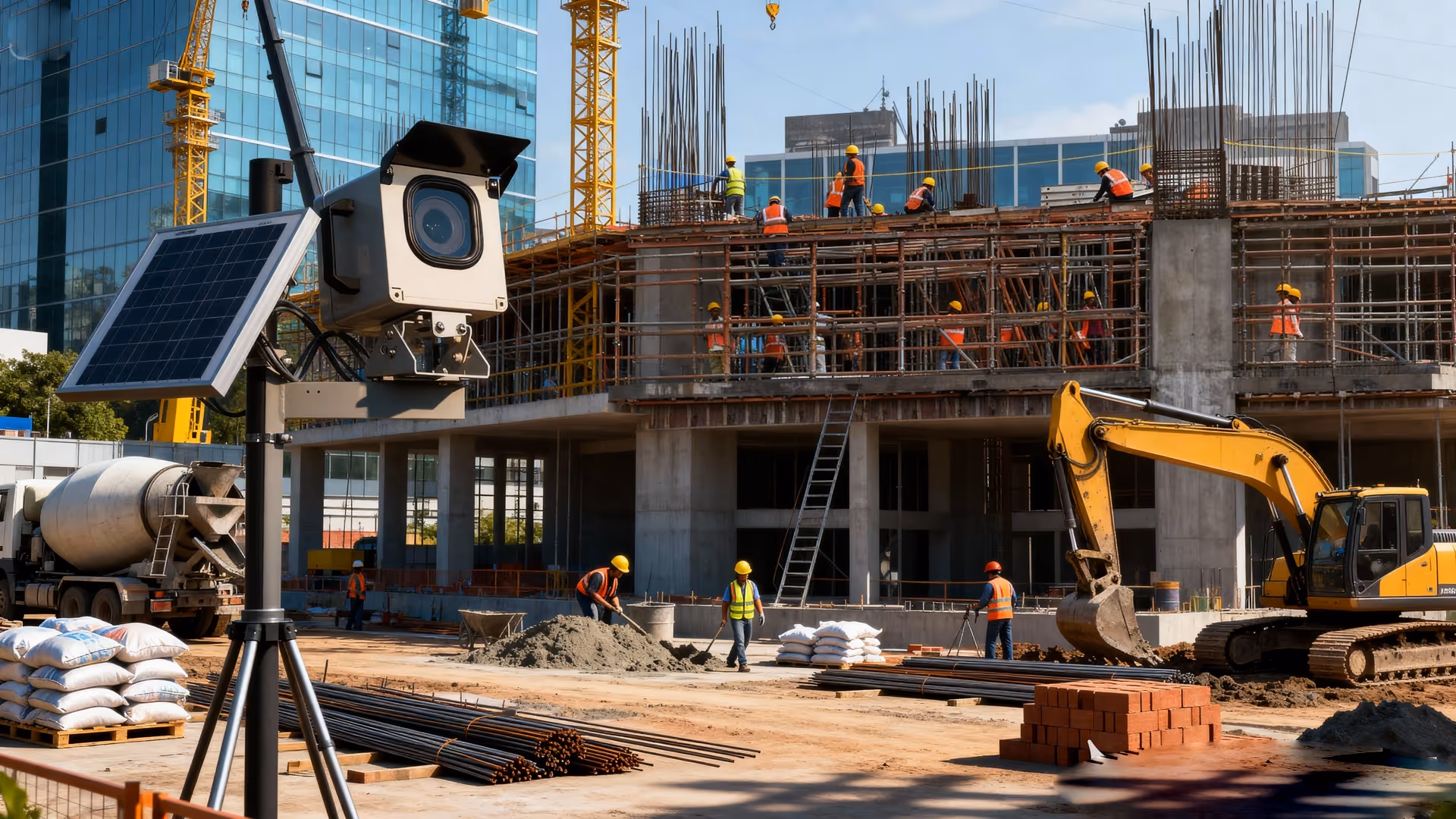
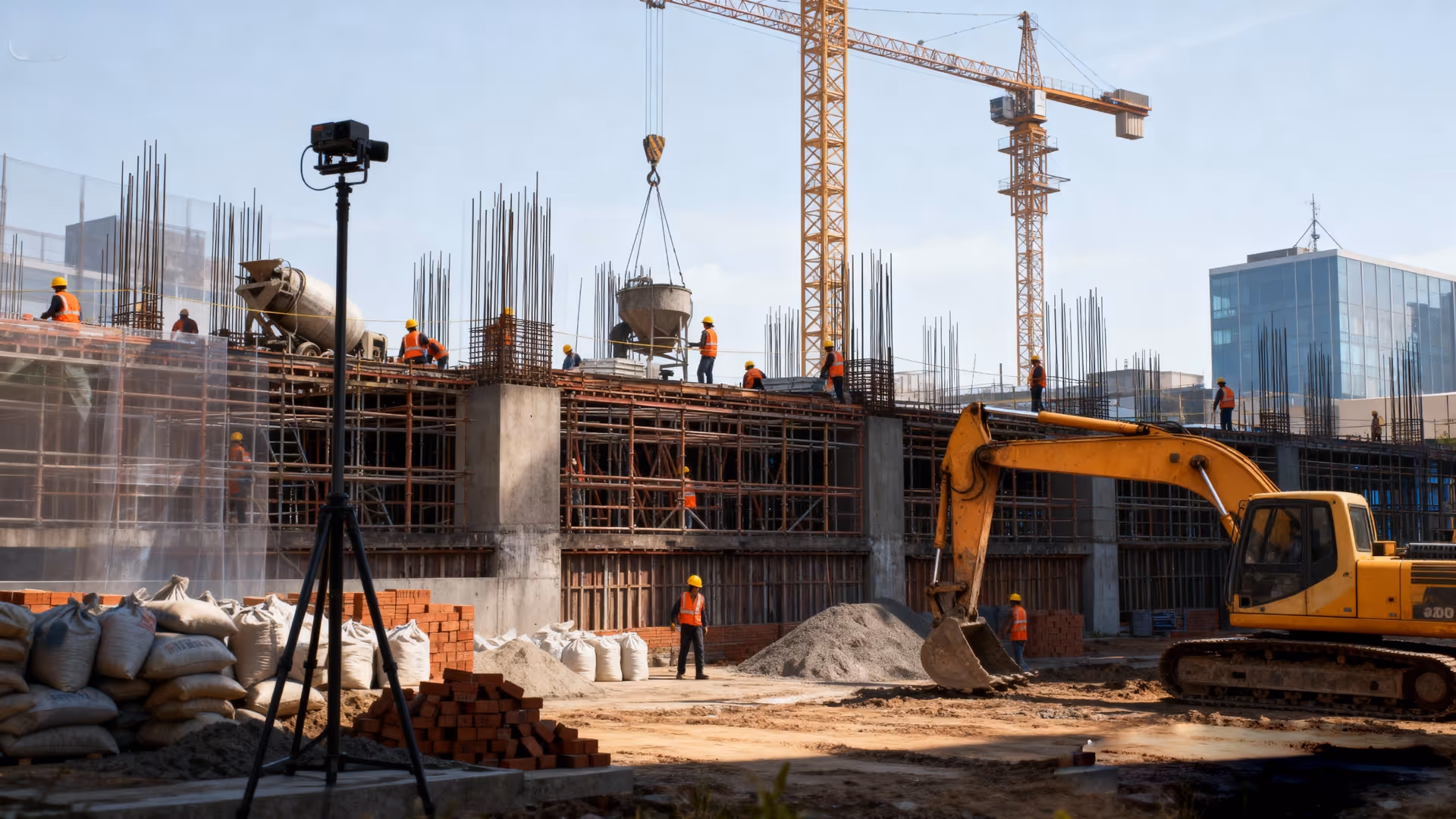
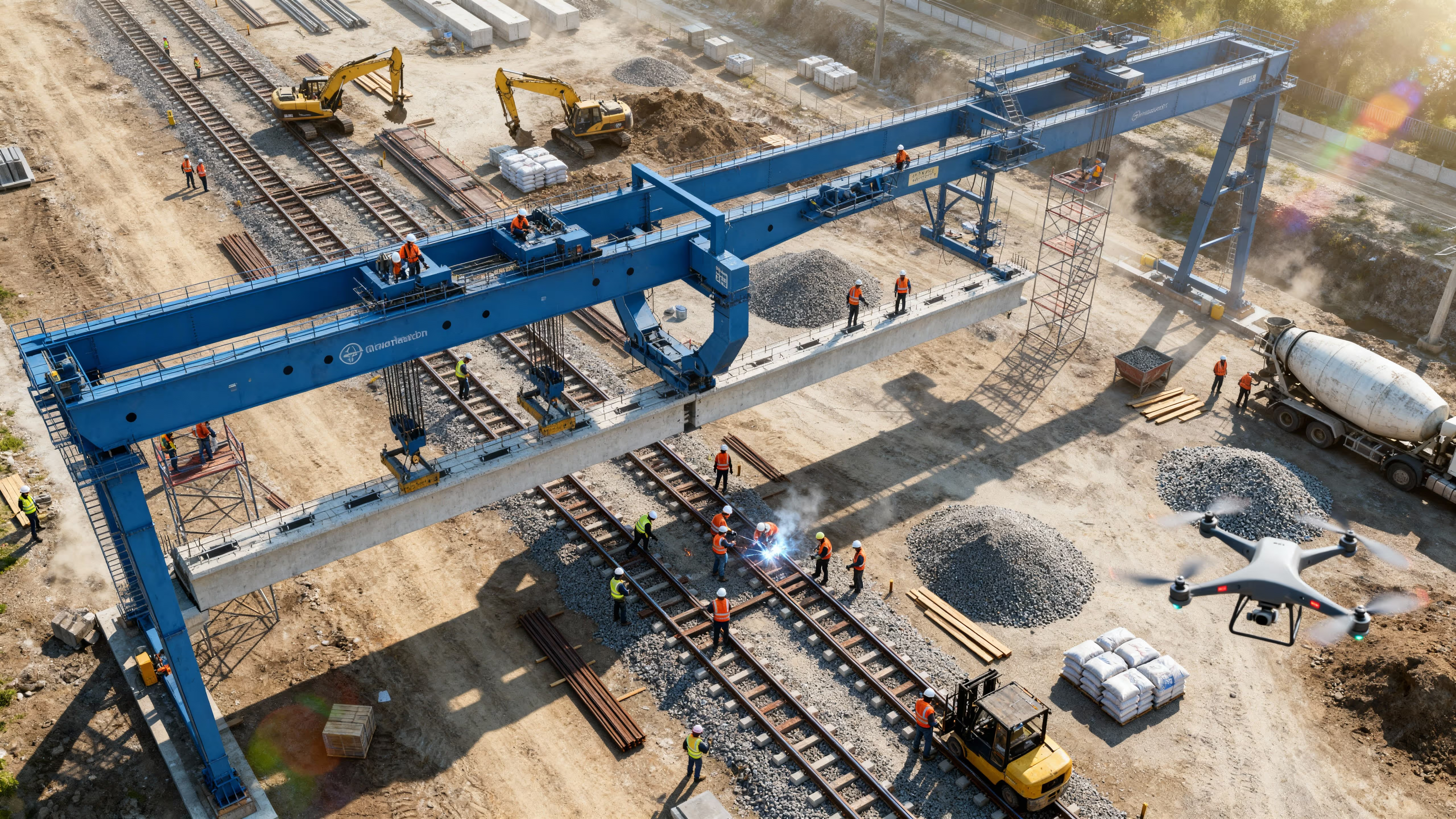
Fixed roadside cameras track pavement, grading and material-layout milestones.
Accelerates earth-work reporting and uncovers volume discrepancies early.
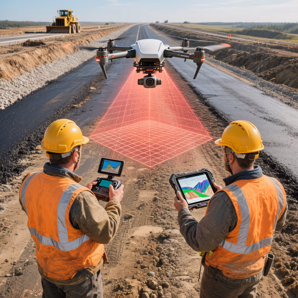
Scheduled orthomosaic & 3D mapping flights to measure cut/fill volumes and compare against design plans.
Creates an irrefutable visual record of layer-by-layer progress.
Pole-mounted time-lapse captures subgrade→base→asphalt, shared in weekly stakeholder briefings.
Cuts down costly site visits and flags issues before crews mobilize.
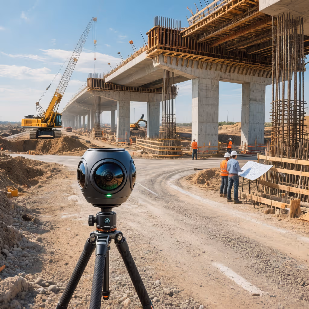
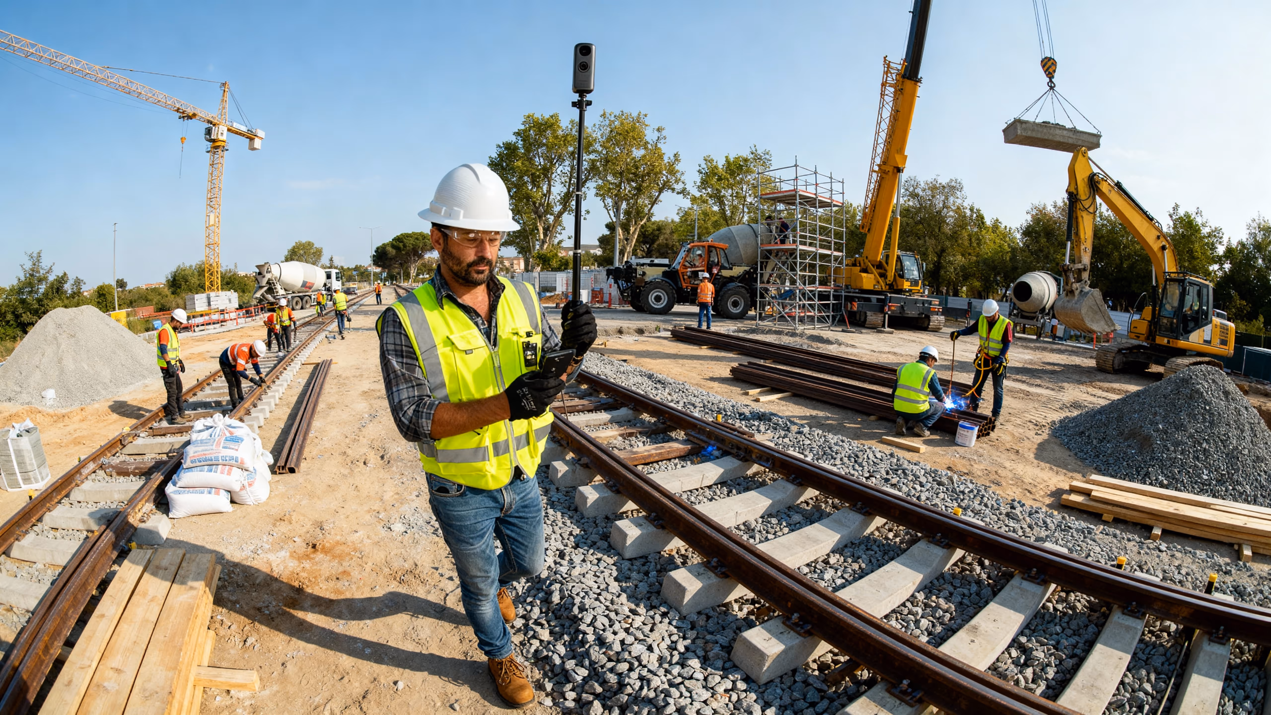
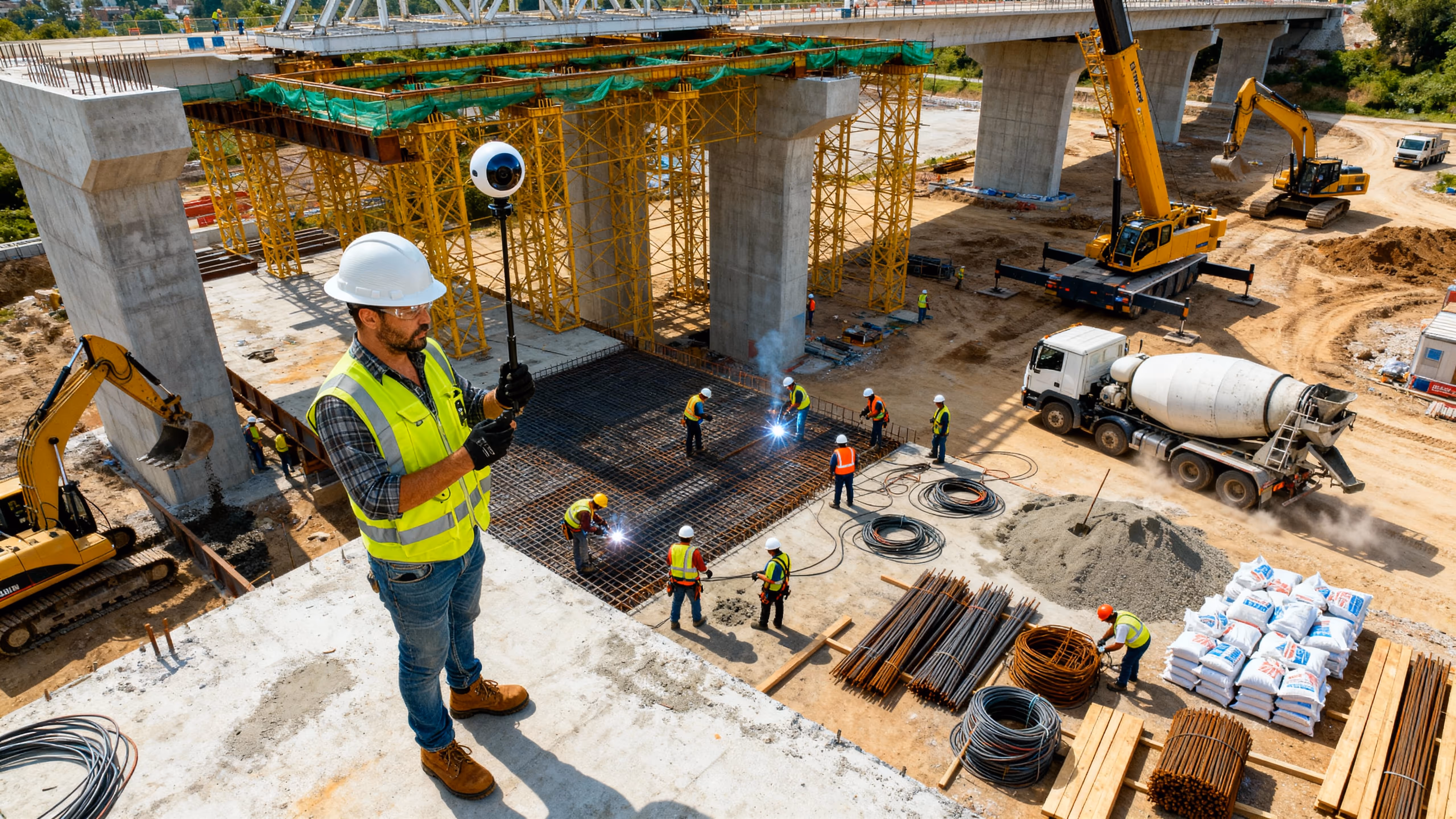
Periodic 360 panoramic “walk-throughs” at junctions and bridge approaches for remote virtual inspections.
Cuts down costly site visits and flags issues before crews mobilize.
Periodic panoramic “walk-throughs” at junctions and bridge approaches for remote virtual inspections.
Elevates stakeholder confidence, speeds up approvals and enhances public outreach.
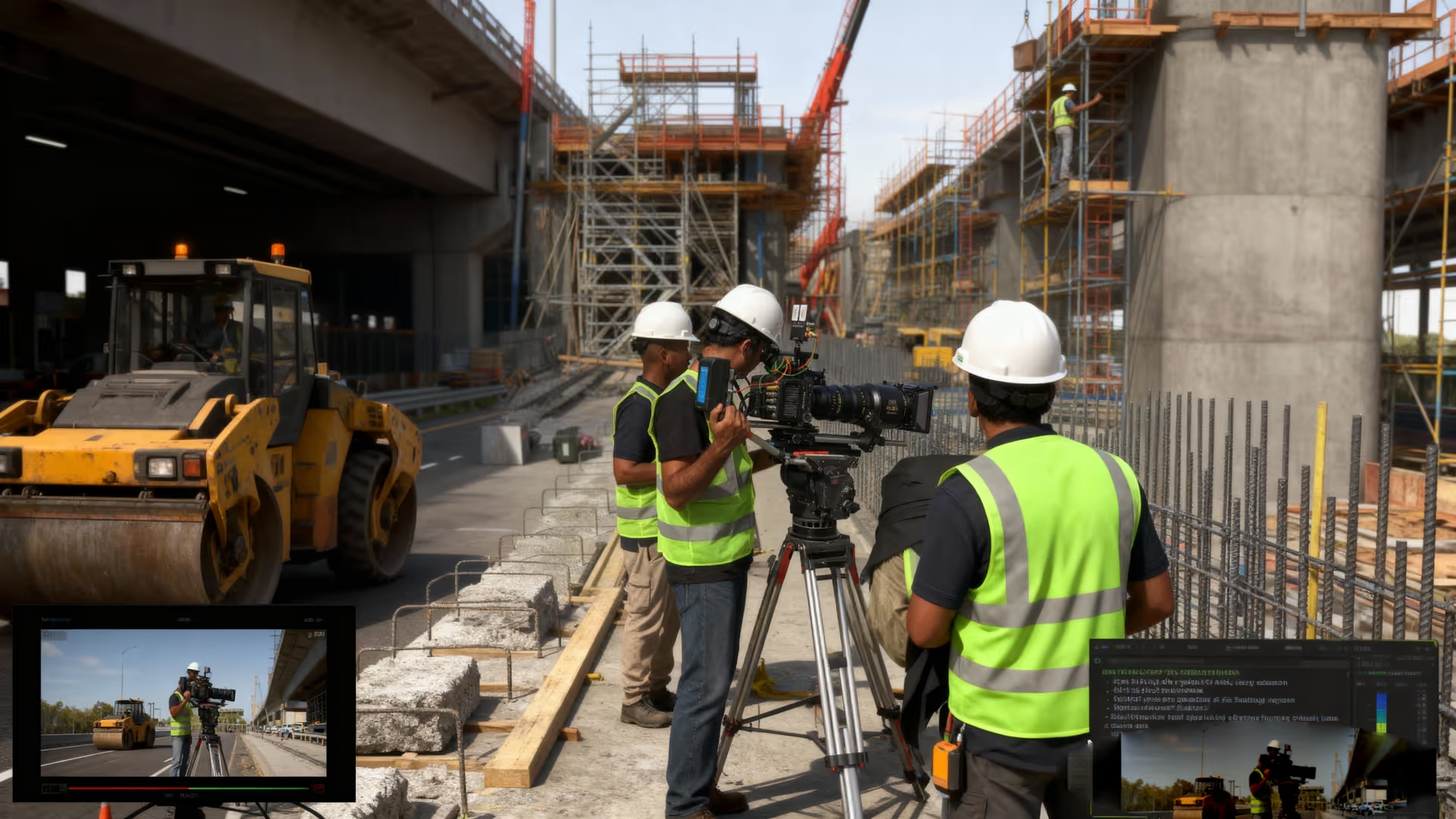
Edited “project movie” combining drone flyovers, timelapse snippets and b-roll for agency/investor updates.
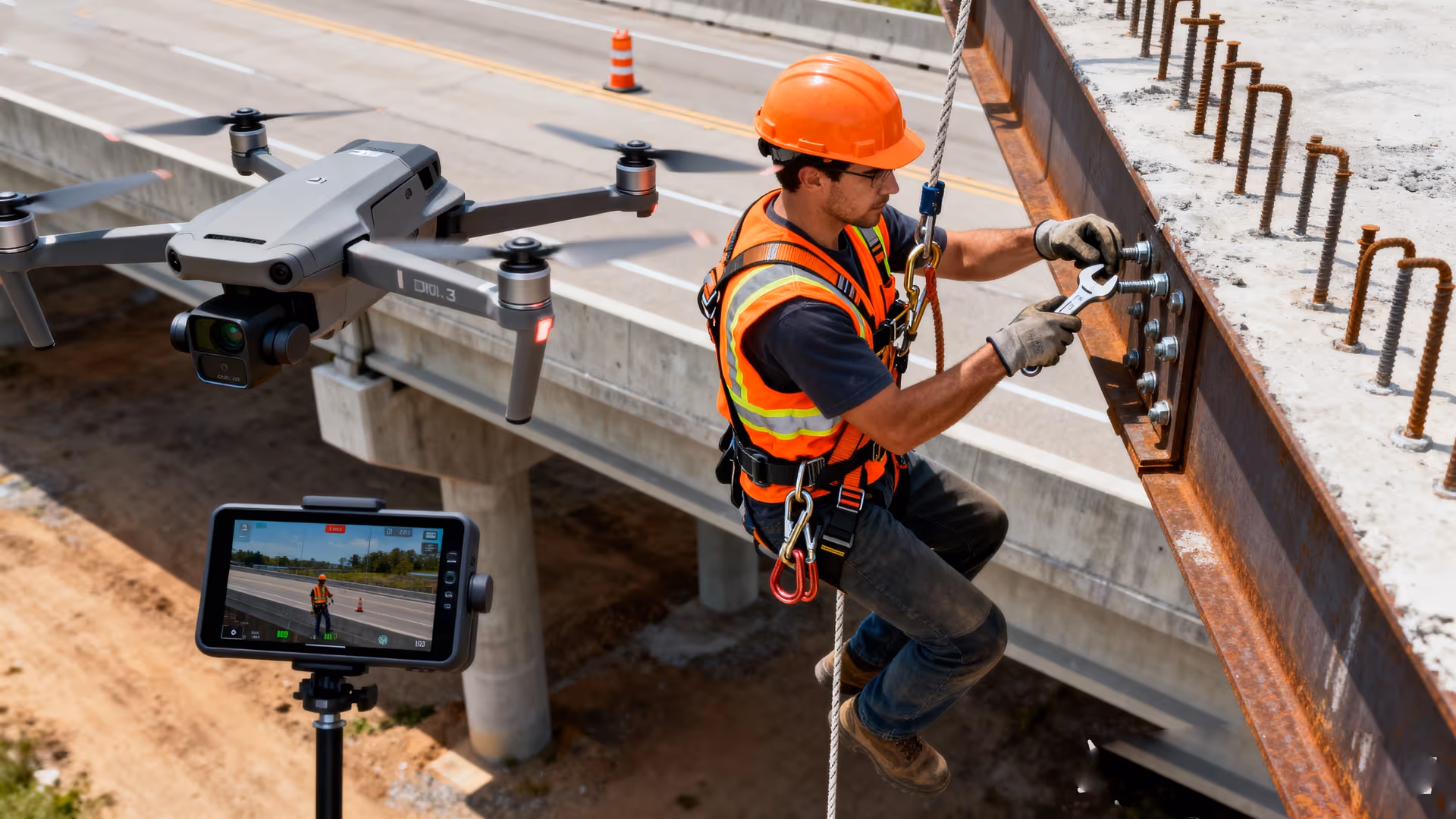
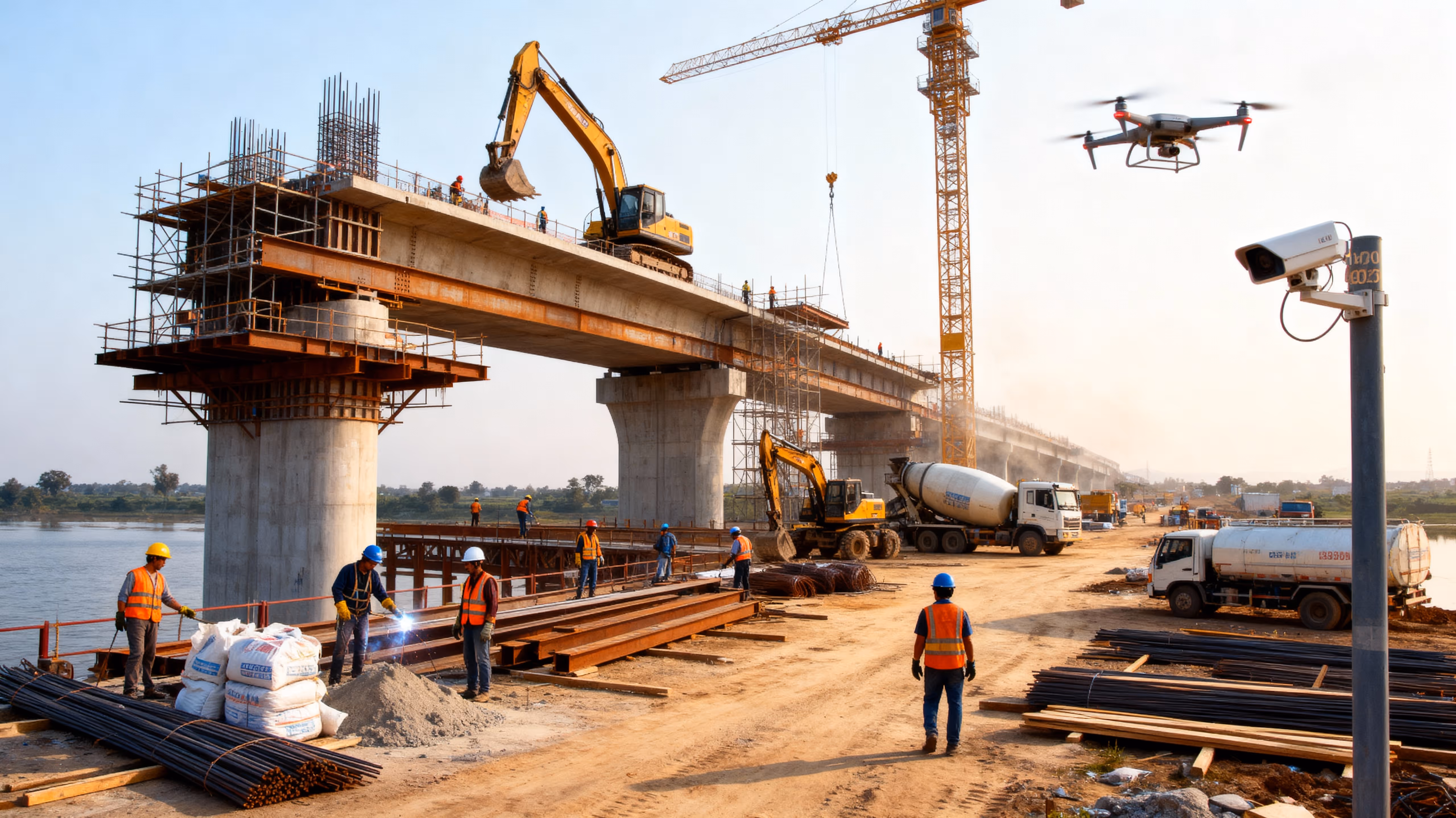
Autonomous drone flights capture high-resolution aerial imagery and LiDAR data along the entire corridor. Orthomosaic maps and 3D terrain models are generated to measure cut-and-fill volumes, verify alignment, and detect surface deviations.
Mobile 360° scans at key locations (interchanges, bridge approaches) create immersive site overviews. Engineers can “virtually walk” the right-of-way to assess embankment profiles, guardrail installations, and drainage alignment remotely.
Enables root-cause safety investigations and reinforces enforcement of SOPs.
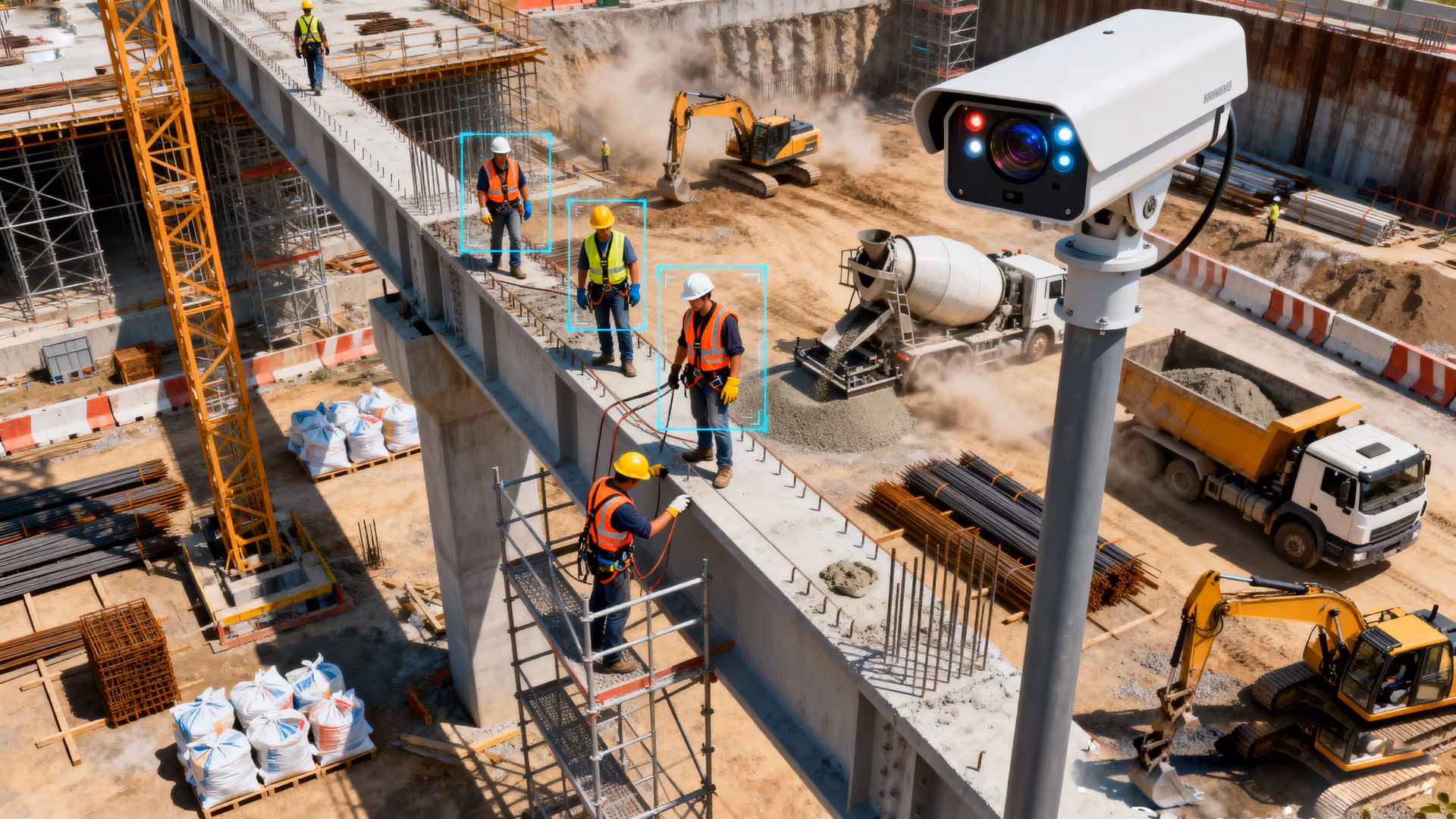
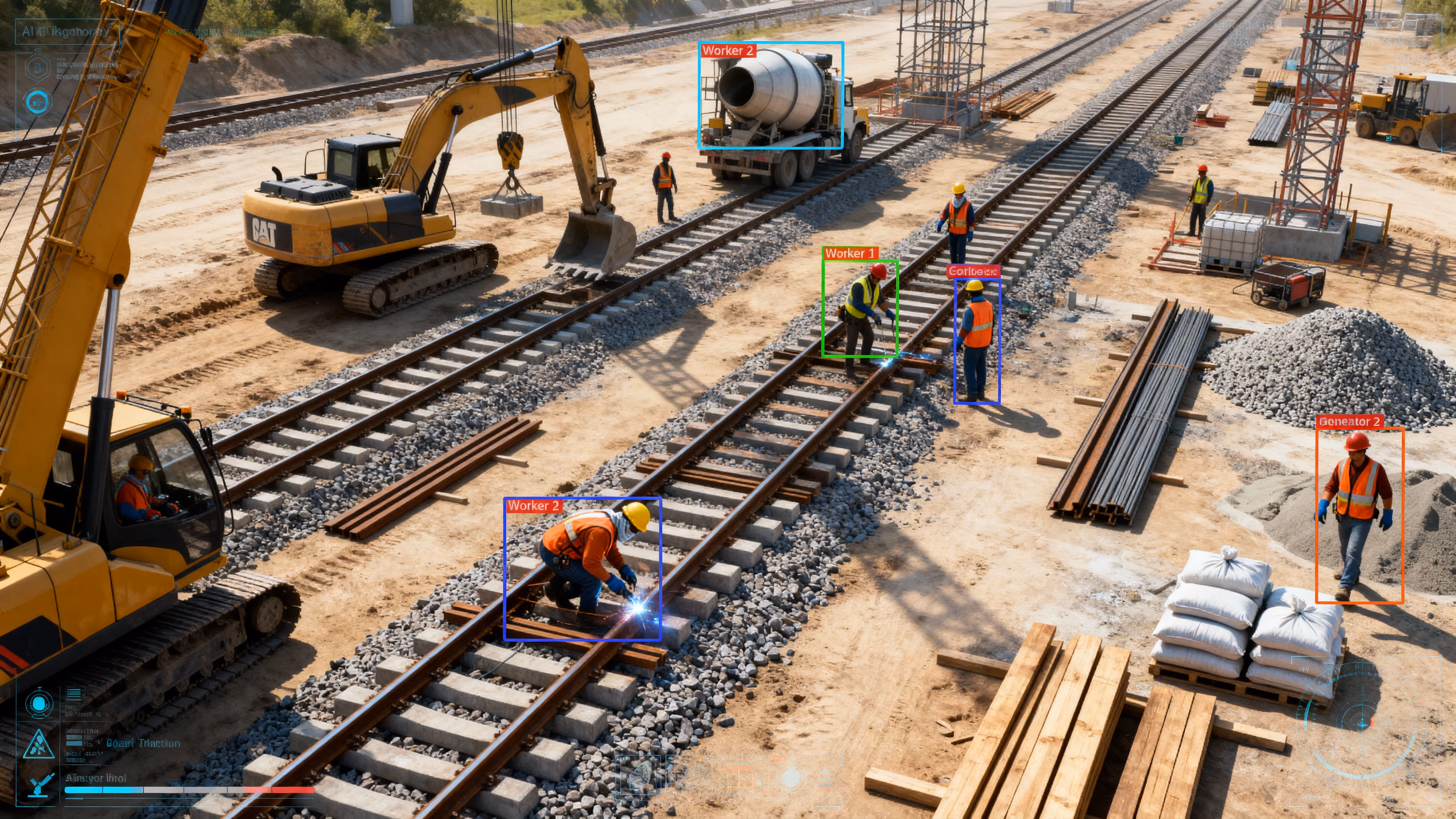
Site-boundary and equipment-zone cameras log all personnel movements and near-misses.
Reduces unexpected site hazards and prevents slope-related incidents.
Pre-task aerial inspections of embankments and slopes to detect erosion or unstable spoil heaps before crews enter.
Drives targeted safety stand-downs and boosts PPE compliance.
Continuous time-lapse reveals recurring unsafe behaviors (e.g. missing PPE, off-zones) over days for corrective training.
Speeds hazard remediation without interrupting daily operations.
Periodic 360 panoramic “walk-throughs” at junctions and bridge approaches for remote virtual inspections.
Automatically notifies supervisors the moment a breach occurs, reducing response time.
Real-time alerts from smart cameras when workers enter active zones without hard hats or proper PPE.
Deters theft, and onsite guards can respond immediately to alarms.
Fixed roadside cameras track pavement, grading and material-layout milestones.
Extends security coverage beyond fixed cameras and perimeter lighting.
Night-vision drone patrols scan extended corridors after hours to detect trespassers or vandals.
Eliminates the need for physical perimeter walks and speeds anomaly detection.
360° imagery of site perimeter and fence lines for virtual remote inspections.
Cuts response times and automates perimeter-breach management.
Smart cameras recognize unauthorized vehicles or geofence breaches and dispatch instant alerts with snapshots.
Produces “hero” visuals that engage funding bodies and the public.
Scheduled orthomosaic & 3D mapping flights to measure cut/fill volumes and compare against design plans.
Delivers a compelling visual arc from ground-break to ribbon-cutting.
Full-project time-lapse sequences (foundation to final surfacing) serve as the narrative backbone of final films.
Enhances stakeholder engagement through interactive experiences.
Immersive 360° clips let viewers explore finished sections in VR or embed interactively online.
Creates broadcast-quality deliverables for ceremonies, press and archives.
Professional editing packages drone, timelapse, 360° and CCTV footage with motion graphics and narration into a polished final film.
Turning Project Transparency into Buyer Confidence
Engineered for engineers
Real Estate
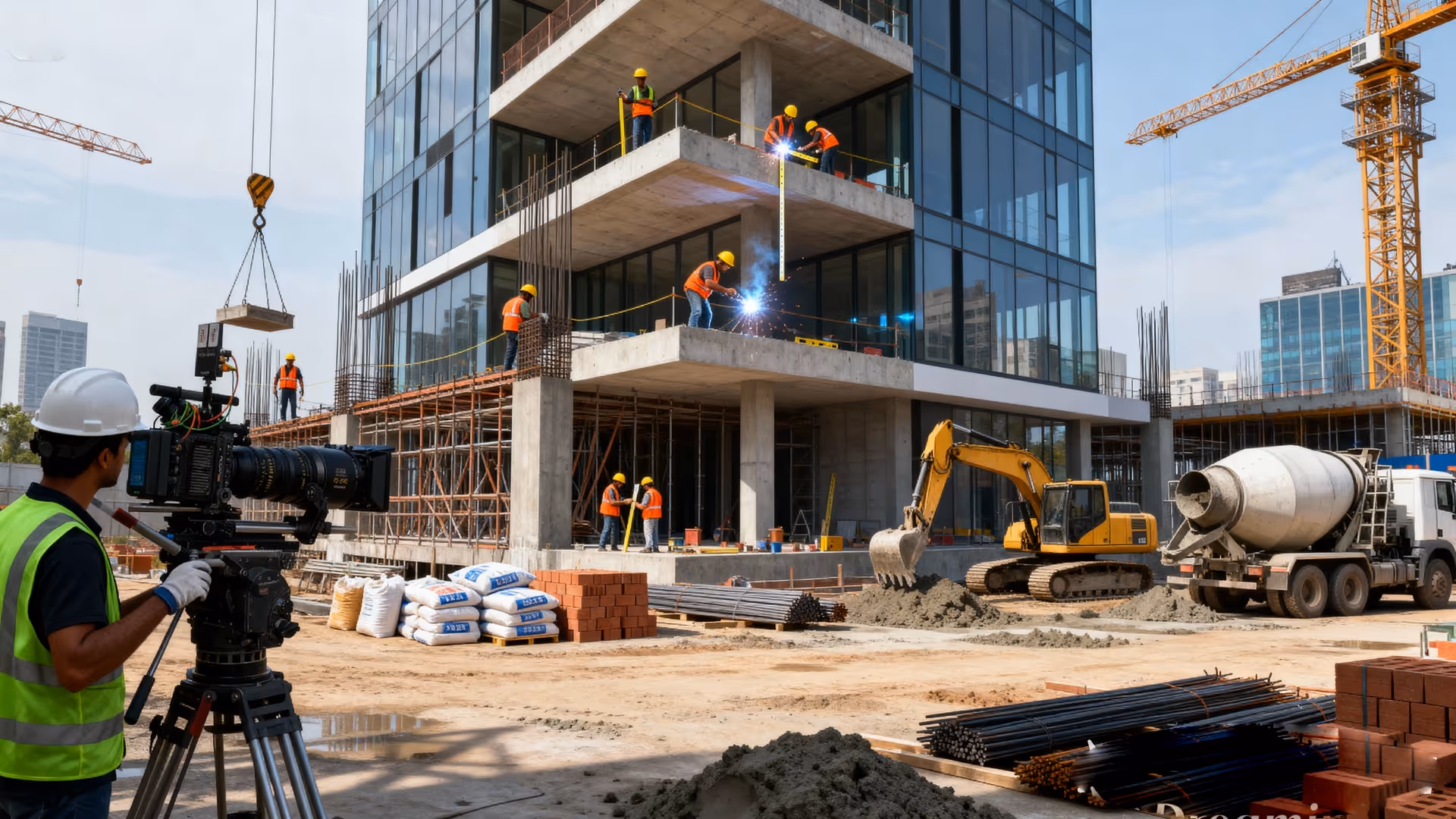
VOTACT™ offers unparalleled transparency in real estate development by providing continuous site visibility and progress verification.
Stakeholders benefit from real-time access to authenticated visuals, AI-driven insights, and curated project media, which collectively foster trust, expedite sales, and enhance project delivery timelines.
Improves milestone compliance and provides compliance evidence for lenders/insurers.
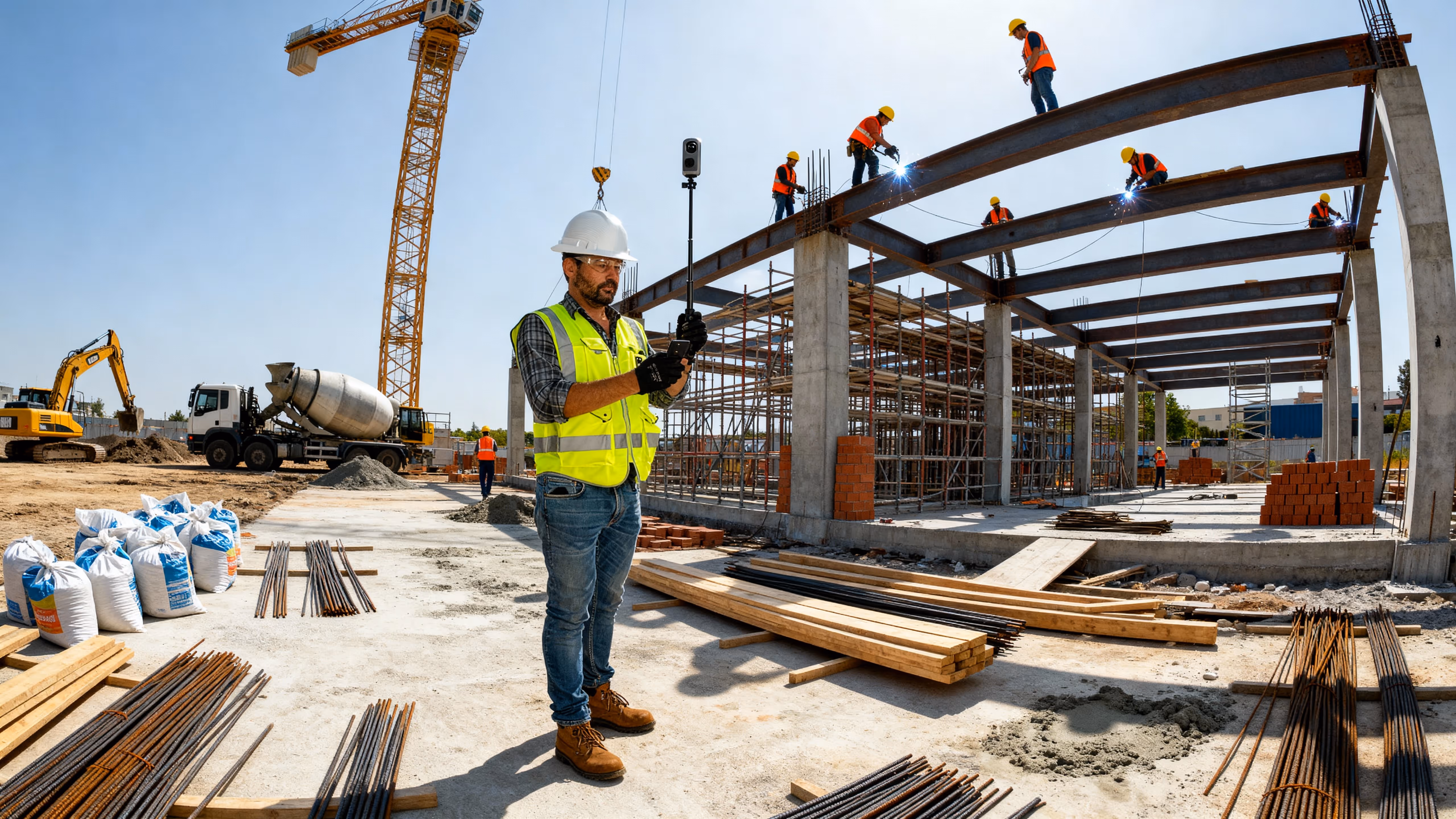
Interior/exterior cameras track framing, MEP rough-ins and façade installation; footage ensures contractors hit weekly Gantt-chart targets.
Speeds up permit sign-off and gives owners high-accuracy site-plan overlays.
Fixed roadside cameras track pavement, grading and material-layout milestones.
Delivers engaging visual updates that boost investor and buyer confidence.
Discrete cameras capture foundation, shell and cladding phases into shareable videos for buyer newsletters and dashboards.
Expands market reach, reduces on-site visits, and accelerates off-plan sales.
Virtual tours of model units and common areas let remote investors and potential buyers “walk” unfinished spaces and verify progress.
Eliminates manual surveys, increases forecast accuracy and lowers admin costs.
Fixed roadside cameras track pavement, grading and material-layout milestones.
Keeps stakeholders informed, aids fundraising and strengthens marketing collateral.
Monthly recap videos combining site footage, interviews with project leads and drone flyovers to sustain investor engagement.
Drone photogrammetry documents lot grading, adjacent utilities, and site boundaries in a single fly-over. Geo-tagged orthomosaics are used for parcel mapping, setback verification, and topographic surveys for design and sales brochures.
360° interior and exterior scans of finished or shell units provide accurate floor-plan verification and volumetric measurements. Architects and planners use the immersive capture to validate as-built dimensions before tenant fit-out.
Reduces fall-risk incidents and documents corrective actions for compliance.
Cameras on stairwells, hoisting areas and rooftops enforce safe-access protocols and provide audit trails after incidents.
Lowers inspection costs and enhances worker safety.
Routine high-rise façade and rooftop inspections by drone eliminate need for rope-access teams, reducing fall-risk exposure.
Drives corrective training and improves overall job-site safety culture.
Time-lapse review highlights repeated unsafe patterns (e.g. workers without harnesses) for targeted safety stand-downs.
Speeds up hazard identification and reduces the need for disruptive site visits.
360° scans of lobbies and corridors during fit-out allow safety officers to spot hazards remotely.
Cuts incident rates by auto-flagging hazards and prompting rapid corrective action.
Real-time analytics on CCTV/drone feeds to detect missing PPE, unsafe postures or zone breaches.
Deters theft, and onsite guards can respond immediately to alarms.
24/7 monitoring of site perimeters, lobbies and equipment yards to log unauthorized entries.
Extends security reach beyond fixed cams, catching intruders off-schedule.
Night-vision overflights of building exteriors, parking areas and rooftops after hours.
Builds long-term evidence chains and accelerates incident investigations.
Review extended-duration clips to spot suspicious movements or material removals over days/weeks.
Automates intrusion management, reducing manual monitoring load.
Smart detection of unauthorized persons or vehicles breaching geofences, with auto-dispatched alerts.
Streamlines investigative hand-offs and improves stakeholder confidence in site security.
Concise incident-summary reels combining multi-angle CCTV and drone footage for security reports.
Creates “hero” visuals that boost buyer interest and media coverage.
Fixed roadside cameras track pavement, grading and material-layout milestones.
Delivers a compelling story arc that accelerates off-plan sales.
Full-project time-lapse from ground-break to hand-over to underscore the build narrative.
Engages remote buyers, reduces in-market visits and shortens sales cycles.
Immersive virtual tours of finished model units and common areas for embedding on websites.
Elevates marketing collateral, strengthens storytelling and drives faster sales conversions.
Polished launch films with motion graphics, VO-over and interviews featuring project leads and buyers.
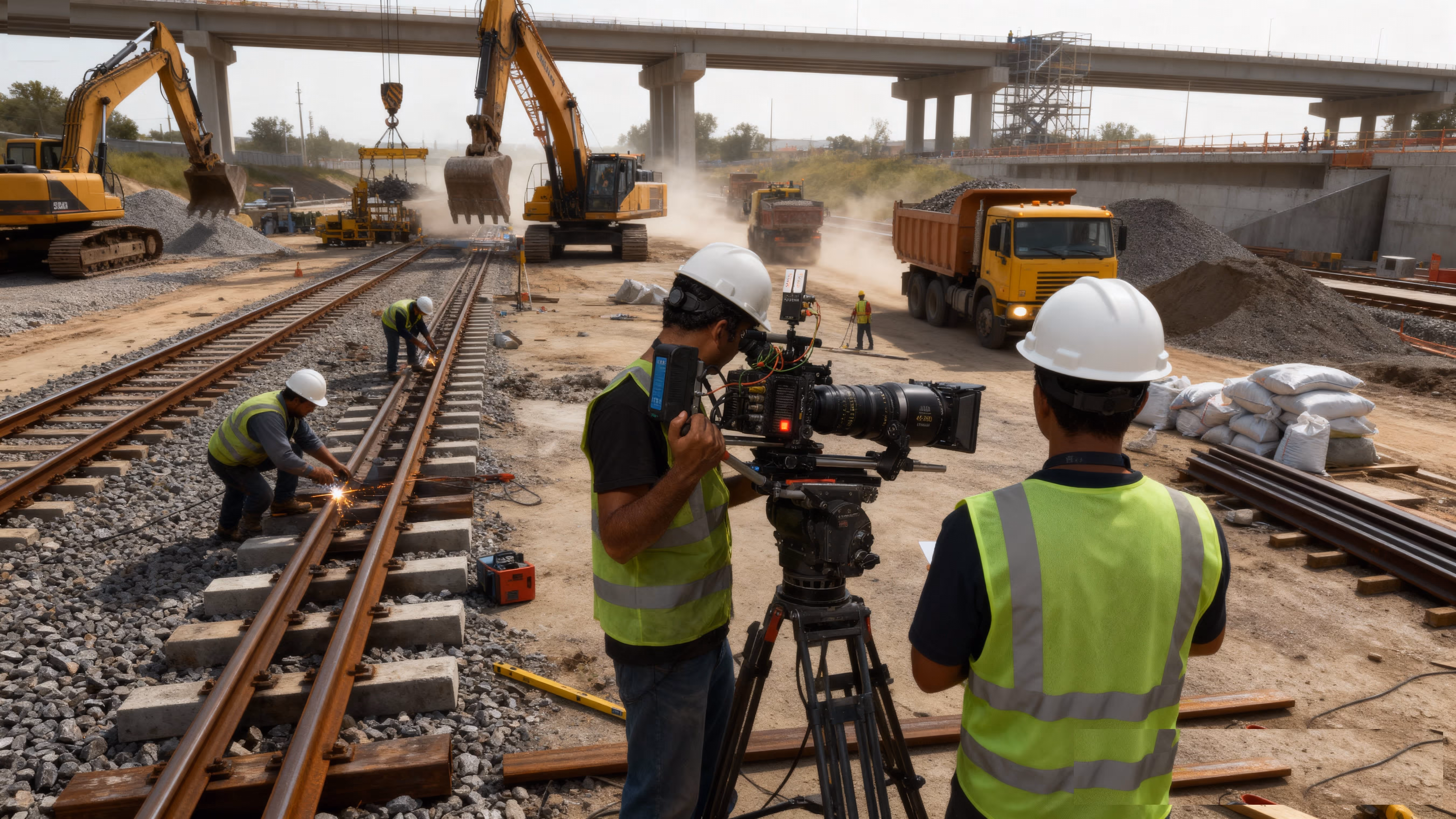
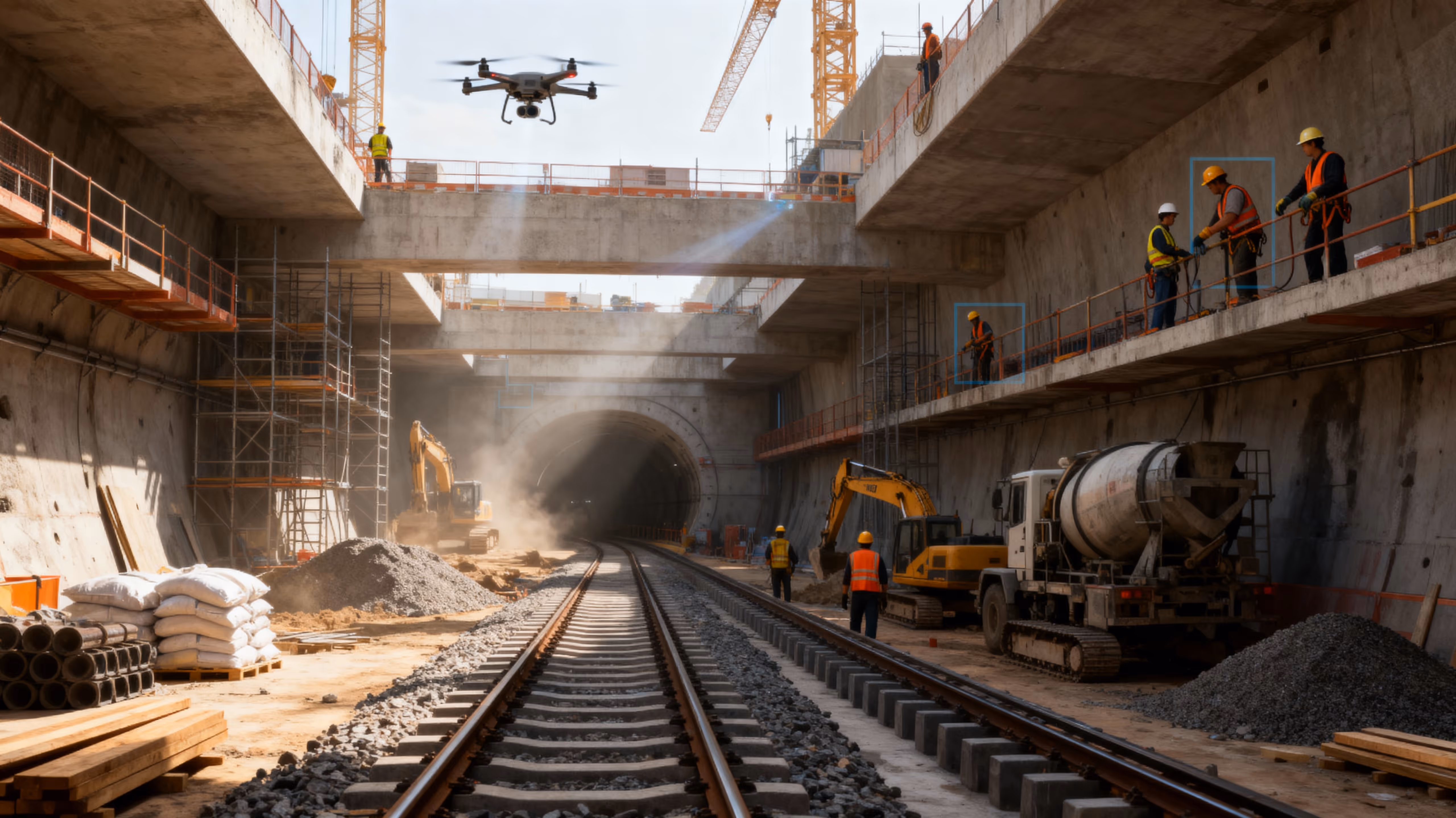
Precision Tracking for Complex Transit Projects
Engineered for engineers
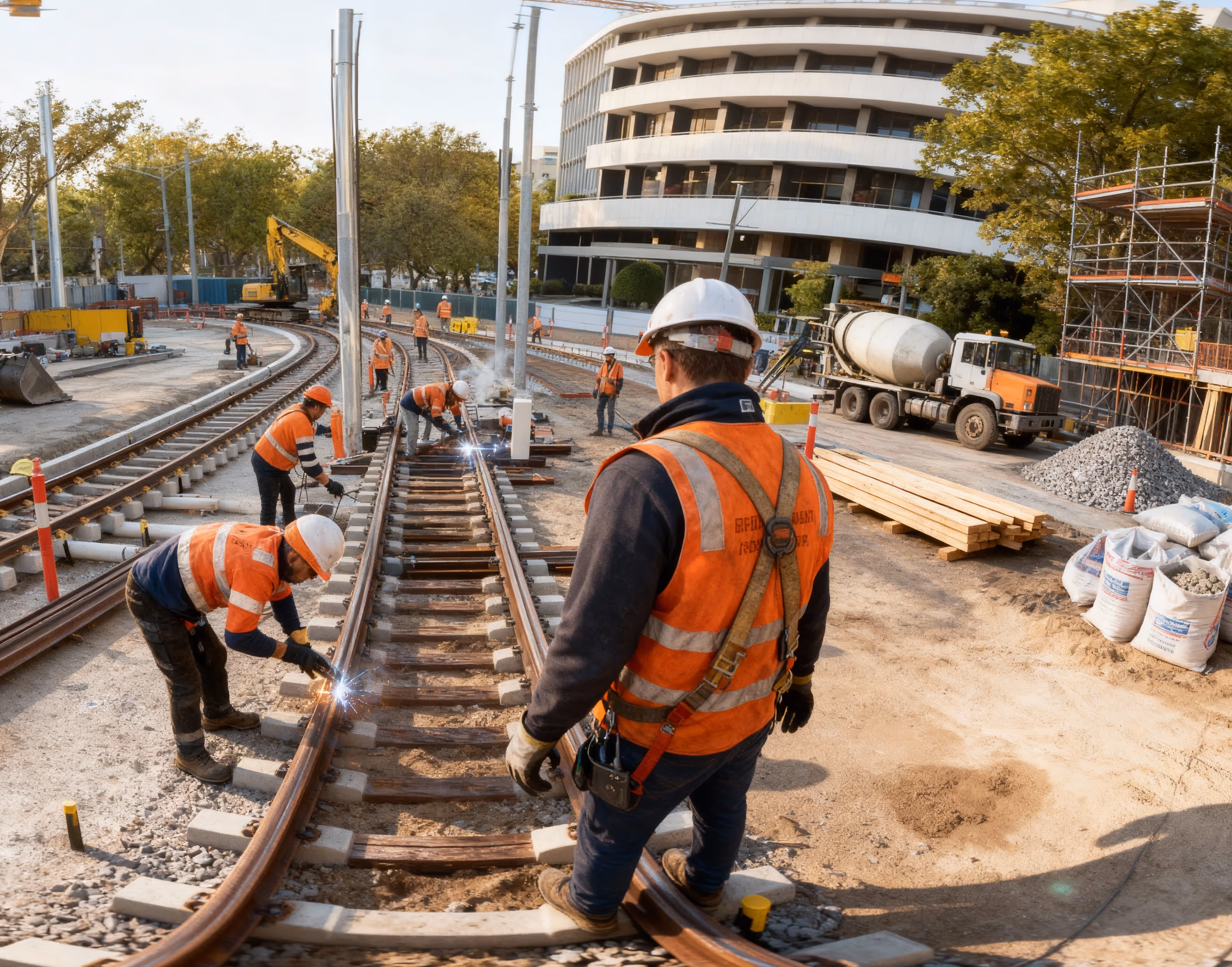
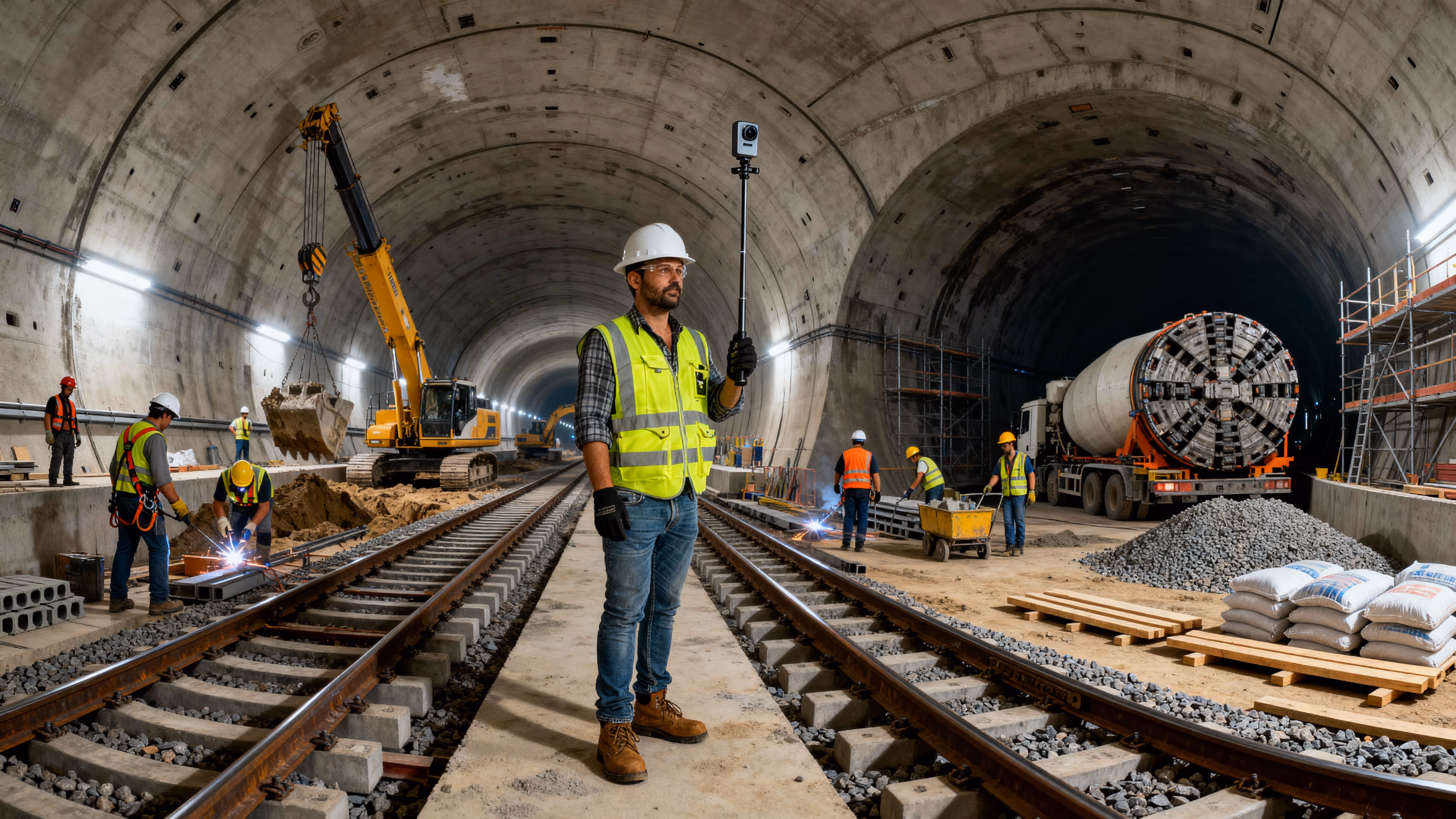
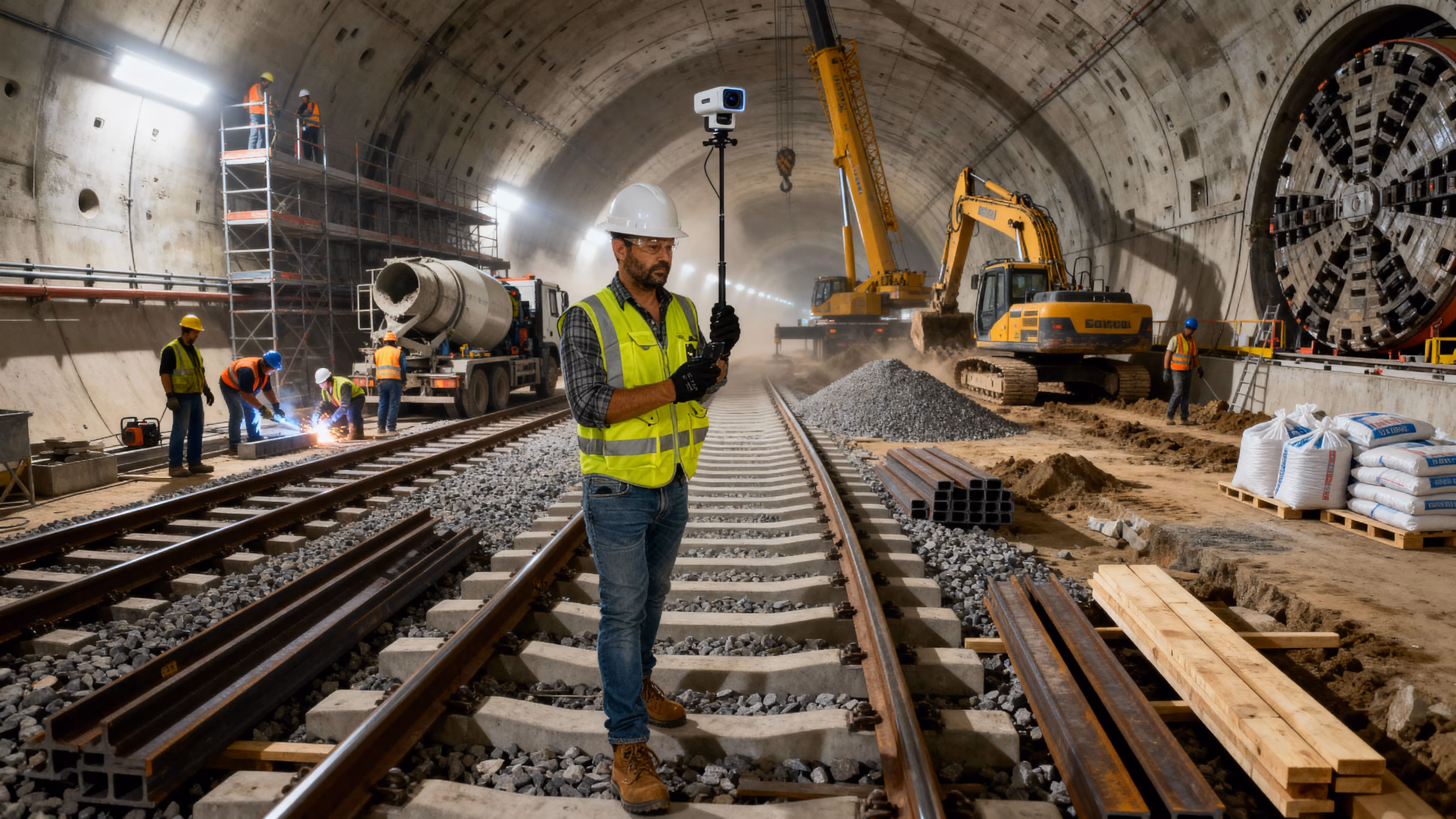
Rail and Metro
VOTACT™ seamlessly incorporates advanced visual intelligence into the dynamic environment of rail and metro construction.
Our sophisticated systems provide comprehensive monitoring of stations, tunnels, and corridors, thereby enhancing safety, improving coordination, and ensuring meticulous project traceability from initial groundwork through to final commissioning.
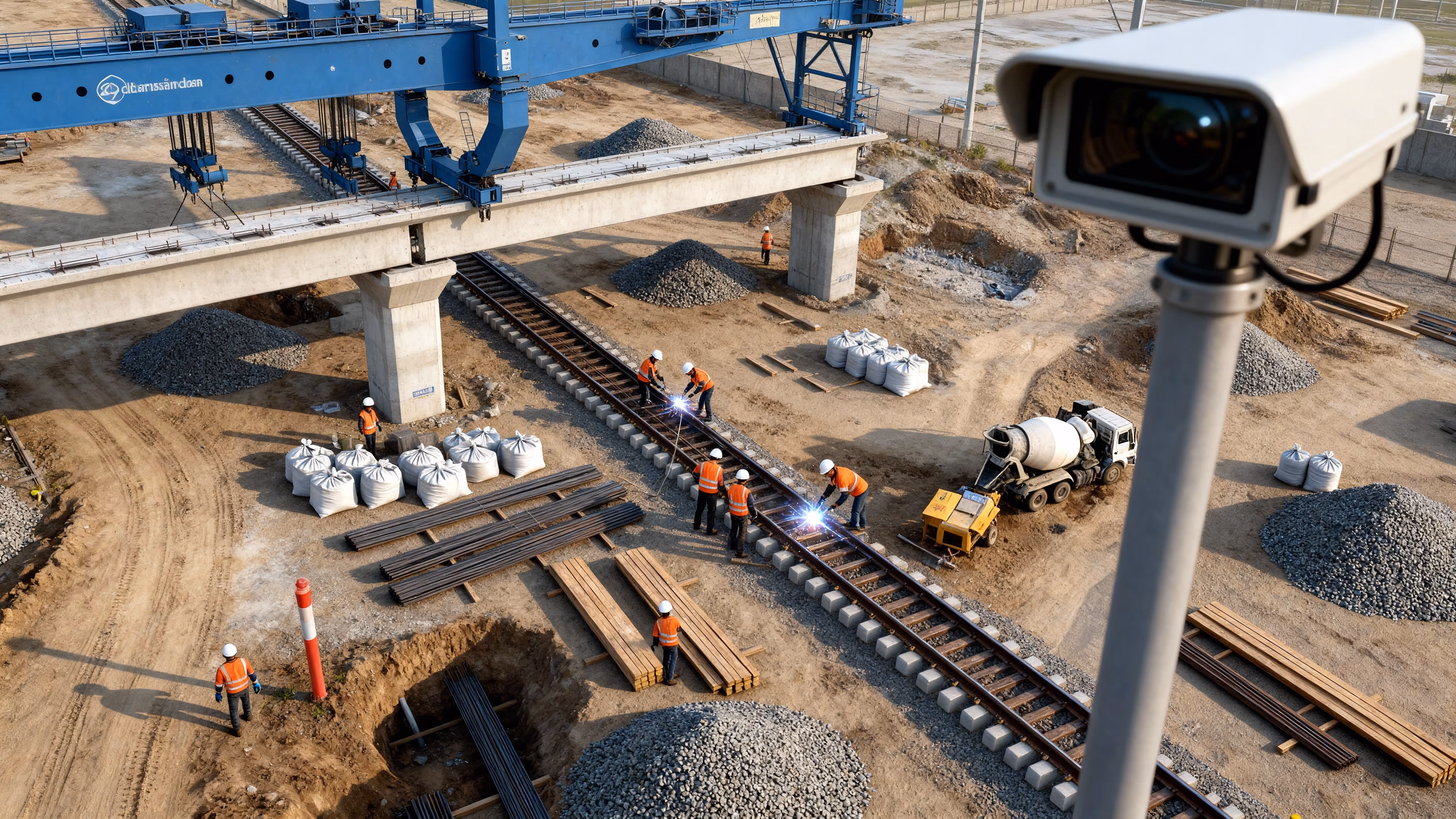
Verifies work against schedule, reduces disputes at shift-handover, and creates audit-grade records.
Fixed cameras along track alignments, station platforms and signal huts to log construction milestones and handover events.
Speeds volume take-offs, uncovers alignment deviations early, and enhances as-built documentation.
Orthomosaic mapping of corridors, bridge decks and overhead‐line works to compare cut/fill volumes and structure locations to design.
Provides clear visual narratives for daily briefings and stakeholder dashboards.
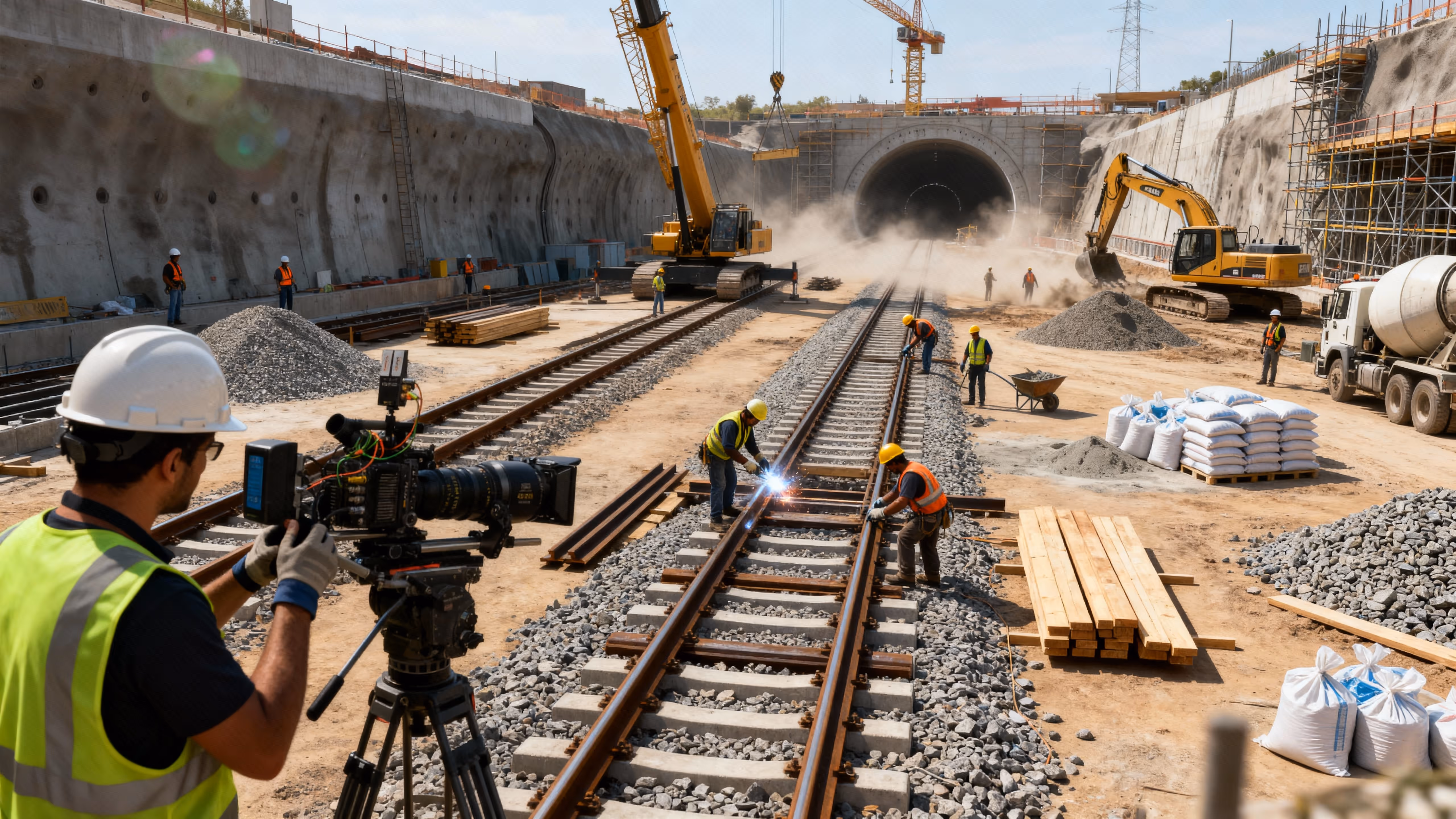
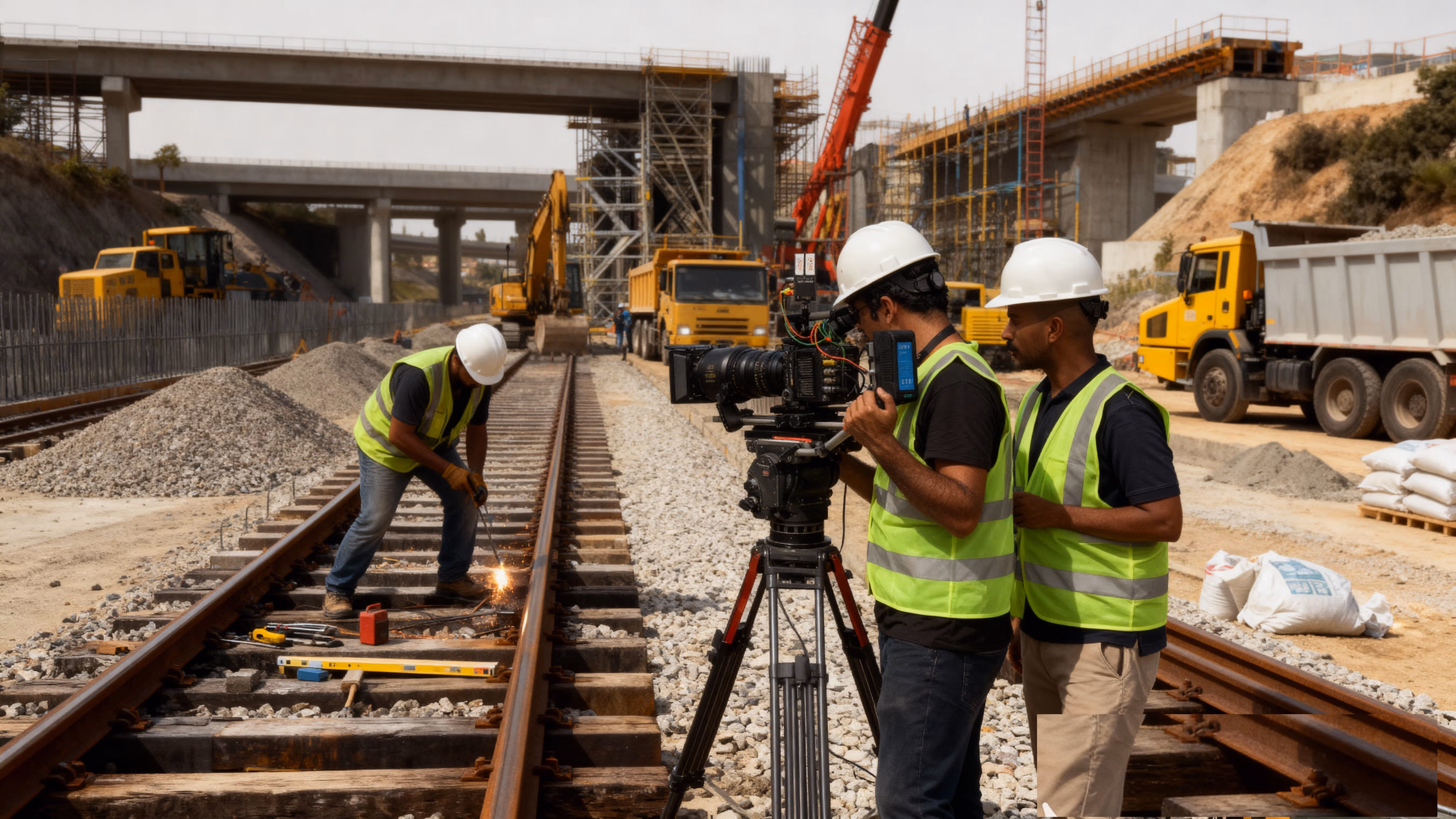
Discrete cameras capture track bed preparation, sleeper laying and rail welding in shareable time-compressed clips.
Cuts field-visit costs, accelerates snag detection, and improves coordination between sites.
Periodic panoramic scans of tunnels, platforms and viaduct approaches for remote virtual inspections.
Triggers real-time alerts, improving quality control and reducing rework.
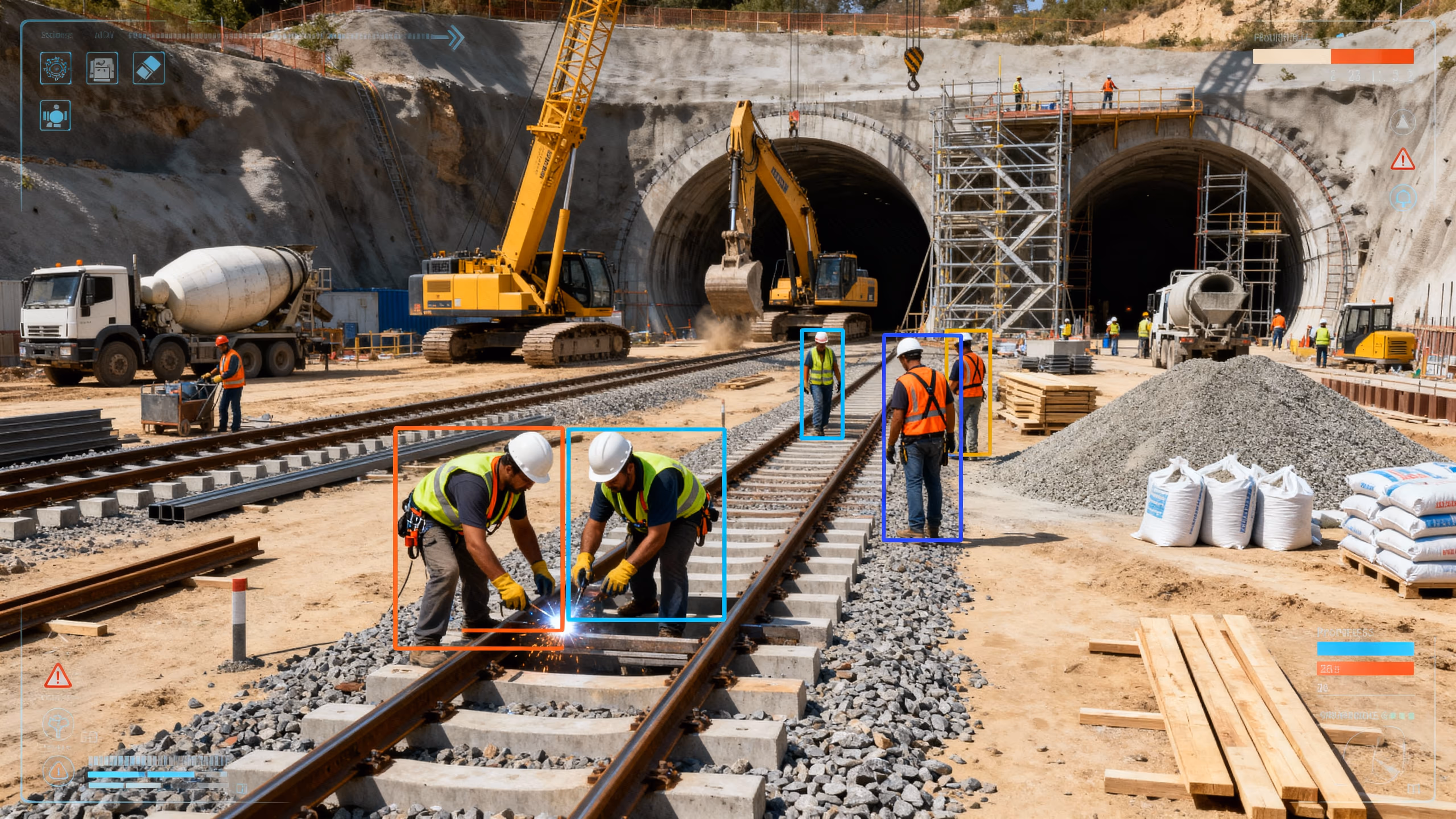
Automated analytics on video feeds to flag works not matching track-geometry tolerances or PPE violations during signal installation.
Strengthens stakeholder confidence, speeds regulatory sign-off, and enhances public messaging.
Edited highlight reels of probe-test runs, system-integration trials and station fit-out for regulators and PR.
Supplements traditional survey methods, improving frequency of as-built checks.
Static LiDAR-equipped cameras track station excavation depths and tunnel lining progress.
Delivers sub-5 cm topographic models, cutting survey turnaround times by 50 %.
High-accuracy aerial photogrammetry of rights-of-way, drainage works and overhead-line corridors.
Automates visual documentation of site conditions pre-construction.
Time-lapse of geotechnical-investigation pits and probe-boring for client reports and archival purposes.
Reduces travel, speeds stakeholder sign-off, and archives existing conditions digitally.
VR-ready scans of interlock yards, maintenance workshops and control rooms for remote design reviews.
Enables automated “survey-grade” QA/QC, reducing manual computations.
Point-cloud comparison and volumetric analytics on LiDAR/video streams to detect cut/fill variances beyond tolerance.
Elevates reporting quality, wins client “wow” factor, and differentiates bids.
Cinematic site-overview videos combining map overlays, fly-throughs and time-lapse for client deliverables.
Improves incident investigation, enforces SOPs, and reduces exposure in live environments.
Cameras on live tracks, station fit-outs and tunnel portals enforce safe-access zones and log near-misses.
Prevents unexpected failures, reduces rope‐access needs, and keeps crews out of harm’s way.
Pre-task aerial inspections of embankments, flyovers and bridge under-sides to detect unstable soils or loose hardware.
Drives corrective stand-downs and improves overall rail-safety culture.
Continuous time-lapse reveals recurring PPE or zoning breaches over multi-day spans for targeted safety interventions.
Cuts out “boots-on-track” inspections and speeds remediation of non-compliant zones.
Immersive 360° tours of control-room fit-outs and station concourse works let safety officers tag hazards remotely.
Accelerates response times and reduces the window for potential accidents.
Periodic panoramic “walk-throughs” at junctions and bridge approaches for remote virtual inspections.
Deters theft/vandalism, enables instant guard dispatch, and logs forensic evidence.
Fixed roadside cameras track pavement, grading and material-layout milestones.
Extends coverage beyond line-of-sight of fixed cameras and deterrents.
Night-vision patrols of long-distance rights-of-way and sensitive tunnels after hours.
Automates breach management and reduces manual monitoring effort.
Smart detection of unknown vehicles/pedestrians in geofenced zones with automated alert dispatch.
Produces engaging “hero” visuals that support funding and PR initiatives.
Cinematic fly-throughs of track corridors, station precincts and bridges to illustrate project evolution.
Delivers compelling storylines from ground-break to first-train, boosting stakeholder buy-in.
End-to-end time-lapse sequences (earthworks→track laying→commissioning) underpin the narrative arc of final films.
Provides interactive experiences that deepen stakeholder engagement.
Immersive 360° clips of finished stations and tunnels for VR presentations and online embeds.
Creates broadcast-quality deliverables that memorialize and market the project.
Professionally edited films with motion graphics, VO-over and data overlays for commissioning ceremonies and launch events.
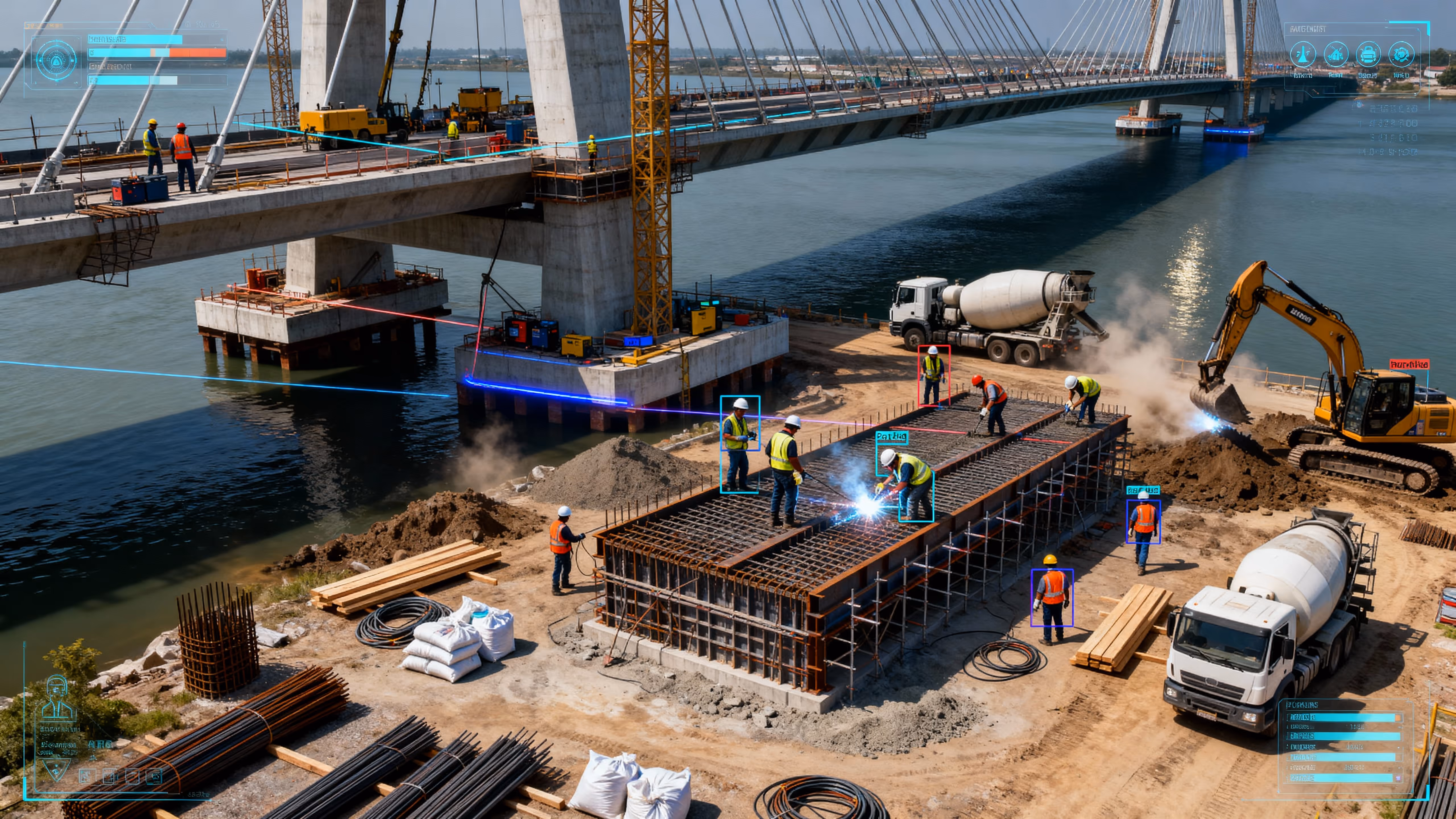
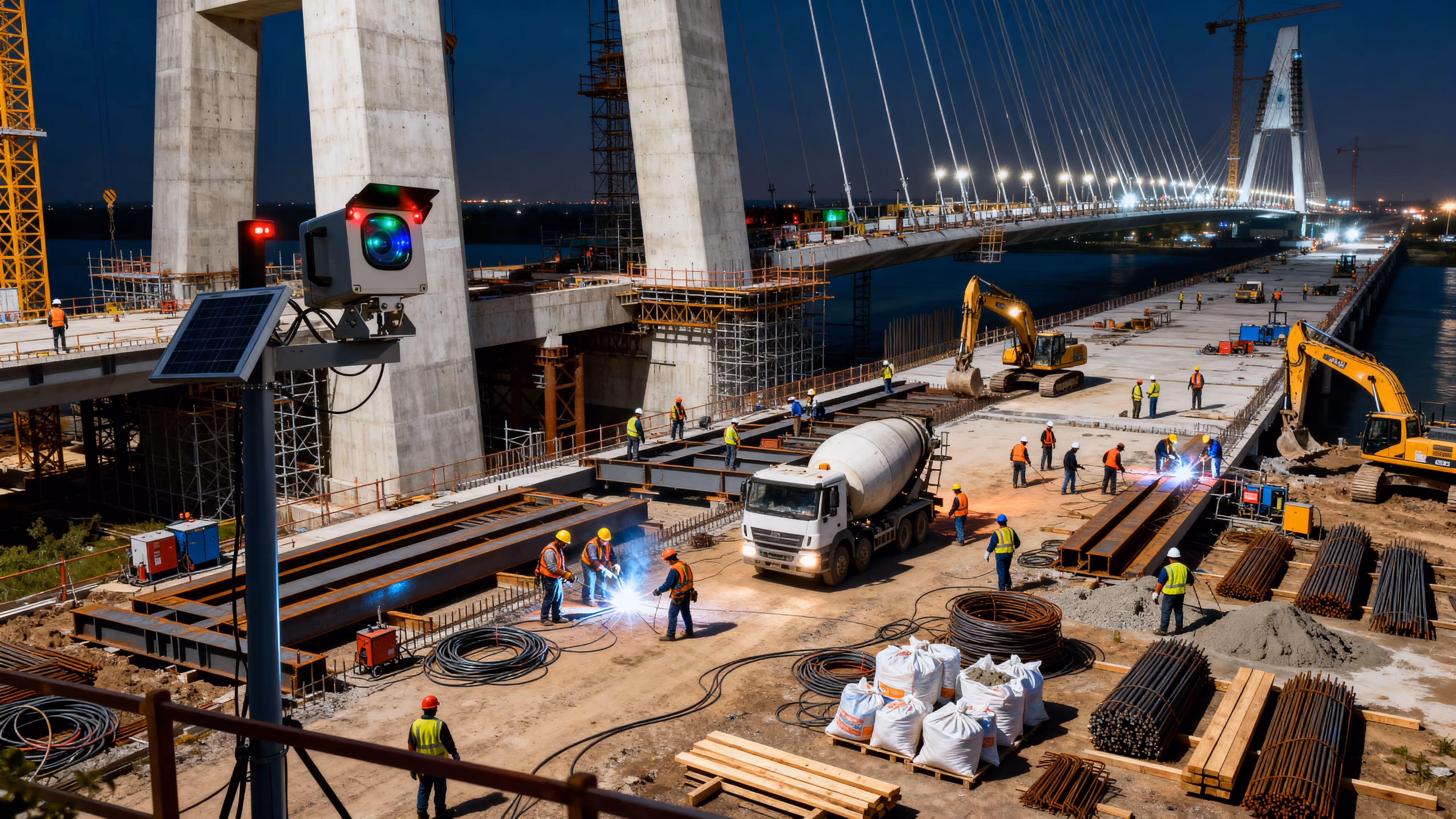
Continuous Visibility for Structural Integrity and Safety
Engineered for engineers
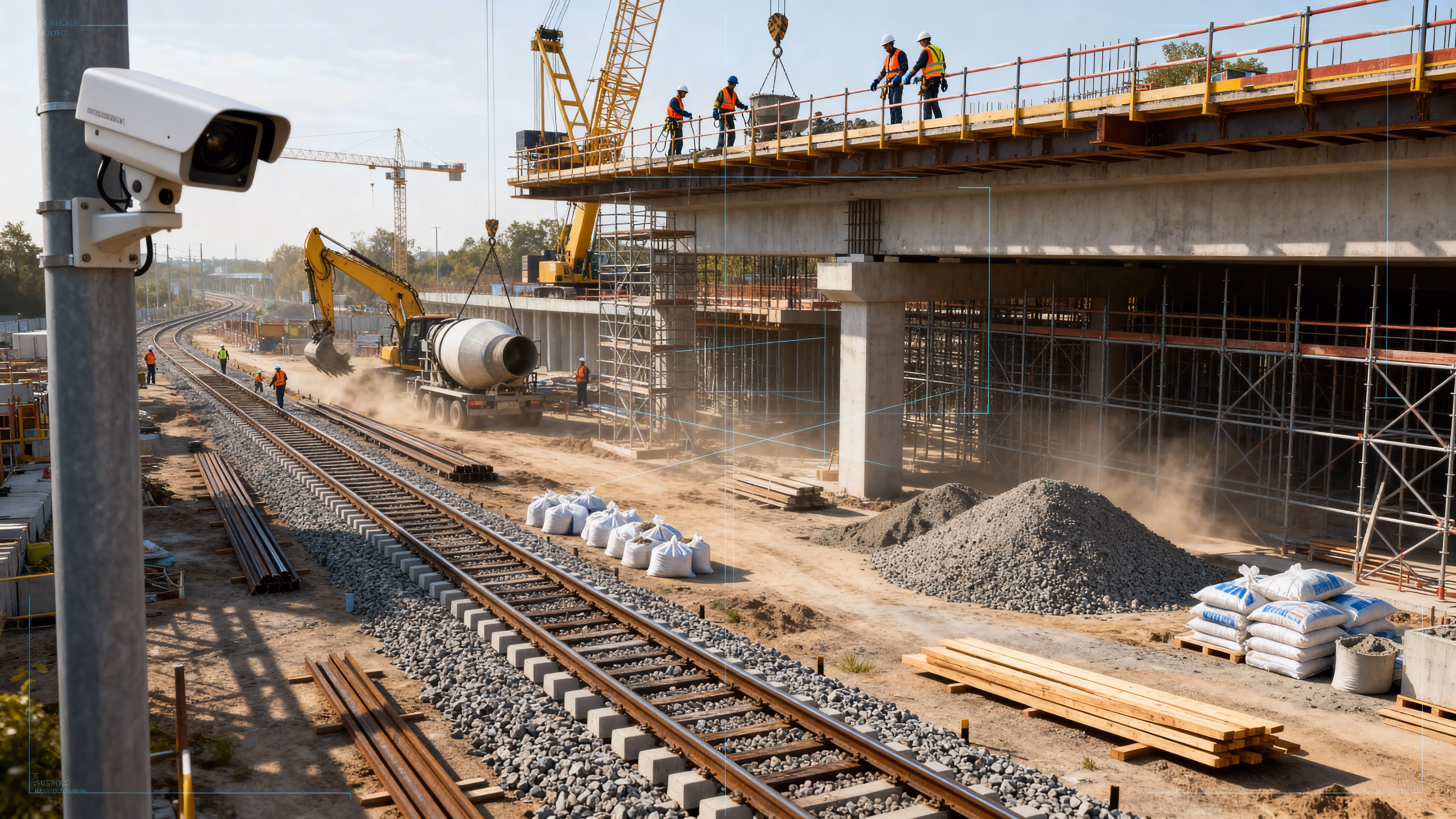
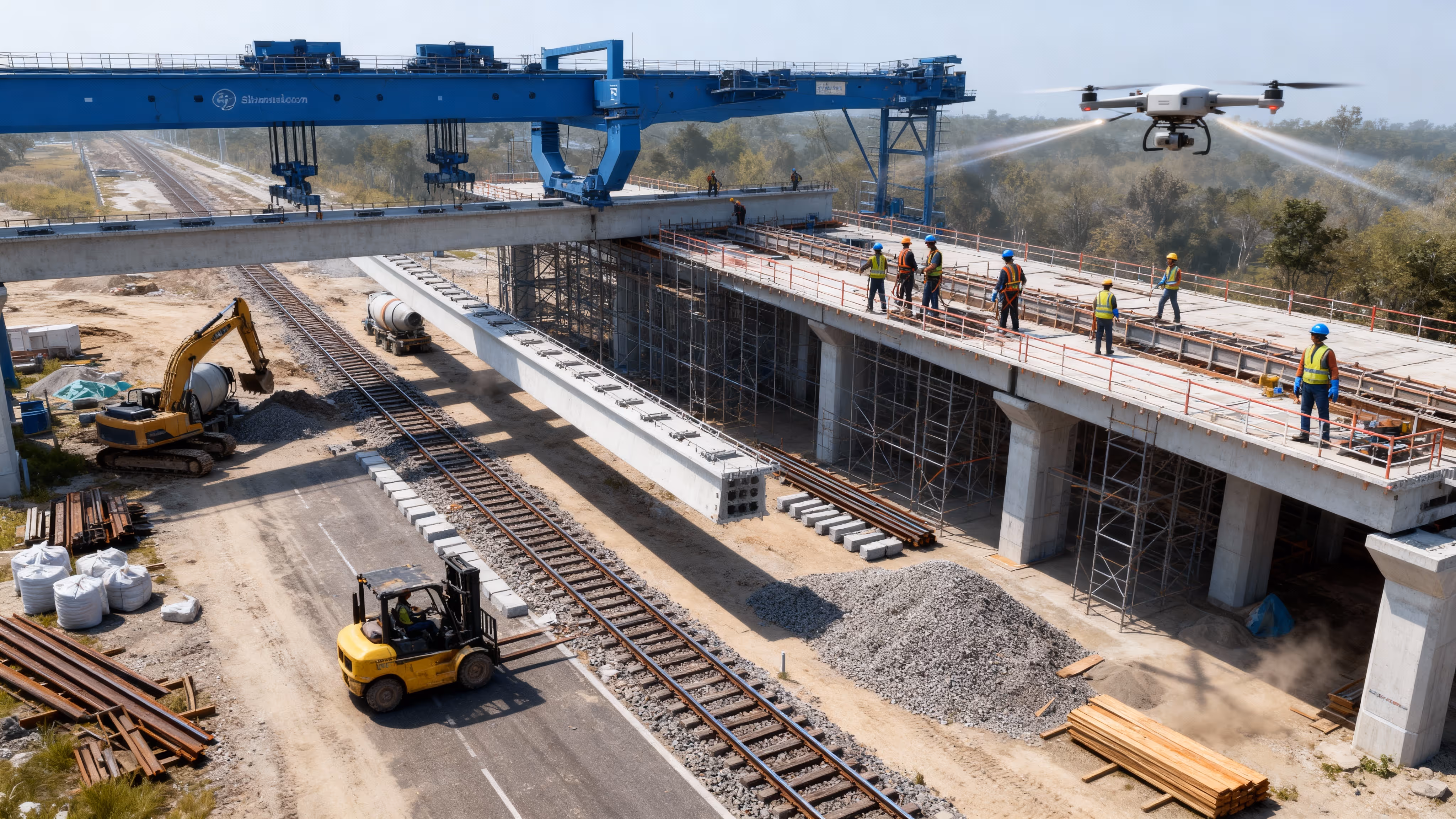
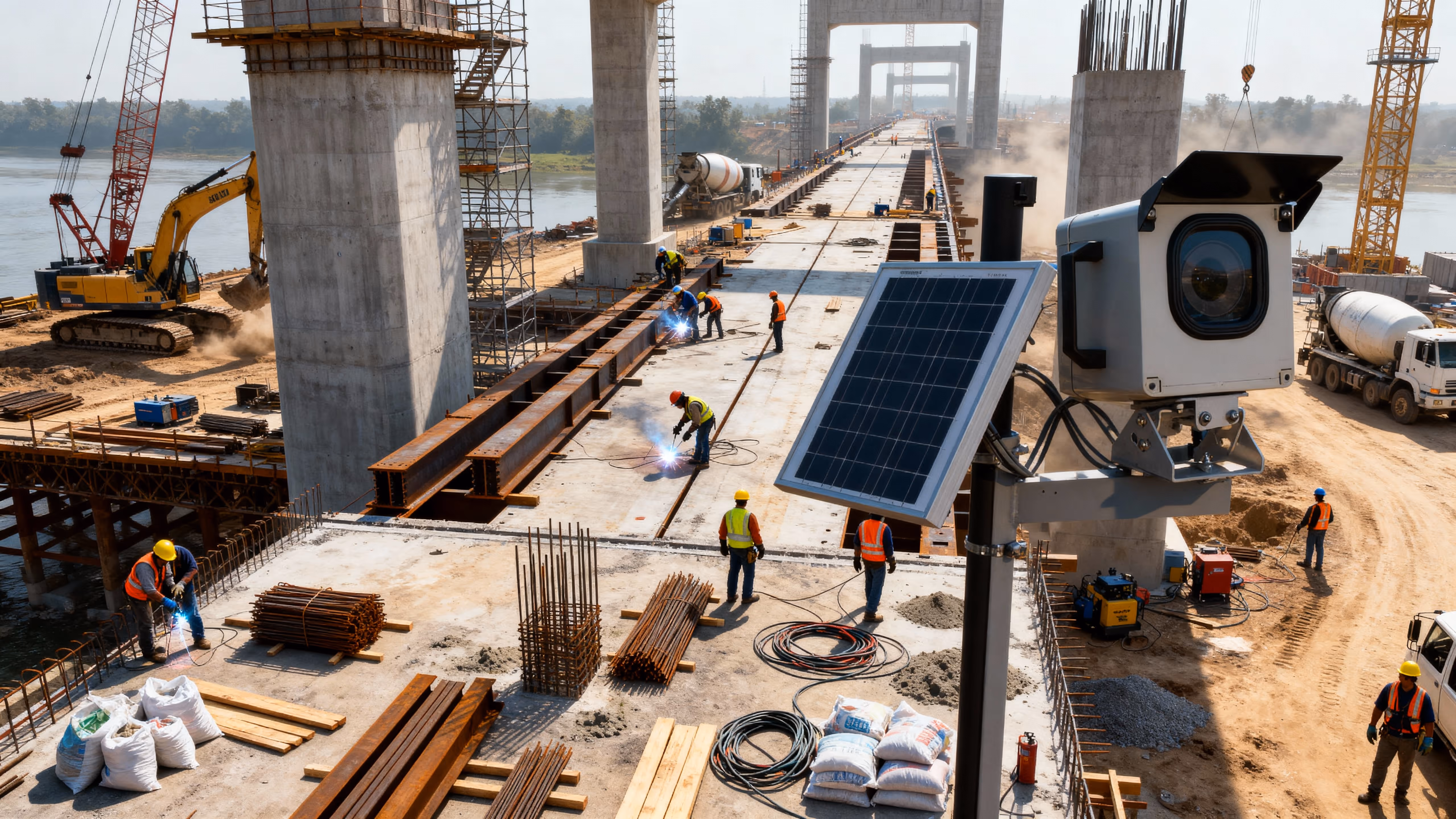
Bridge
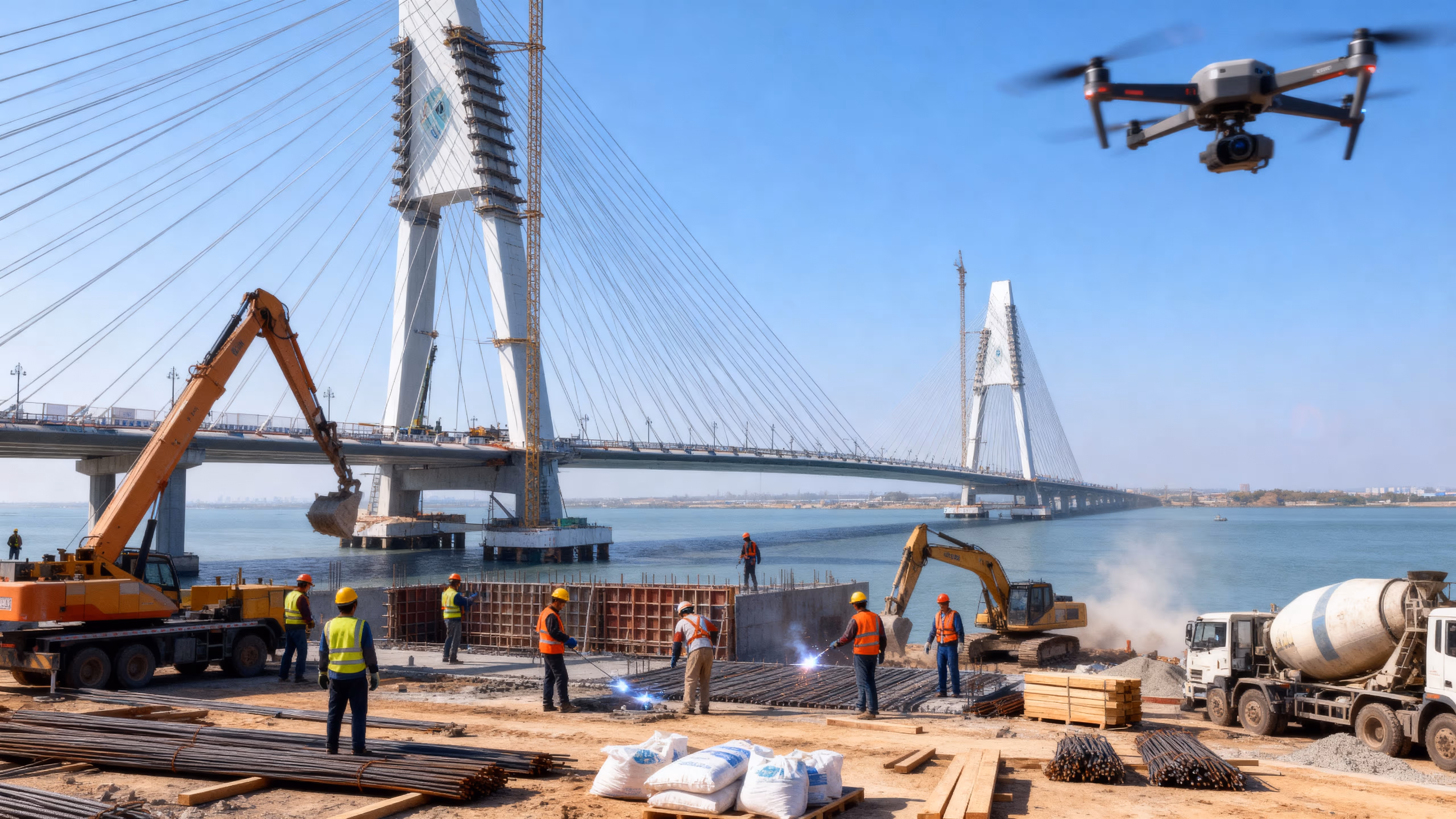
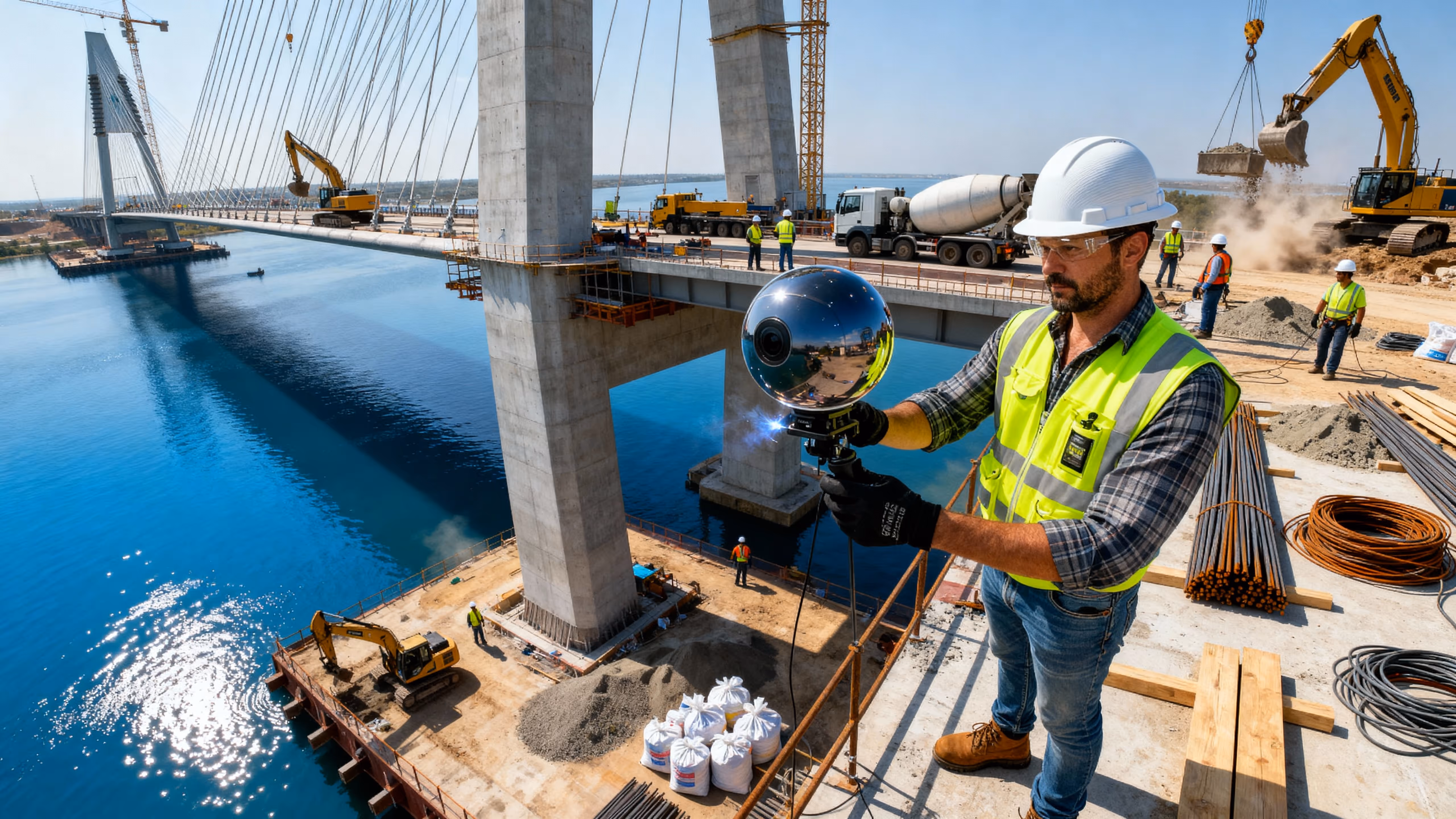
VOTACT™ employs meticulous monitoring throughout all stages to guarantee the structural integrity and safety of bridge and tunnel projects.
By integrating AI-driven analytics, CCTV, and comprehensive 360° documentation, we facilitate adherence to compliance standards and ensure timely project completion.
Verifies work against designs, deters SOP deviations, and archives progress for stakeholders.
Fixed roadside cameras track pavement, grading and material-layout milestones.
Identifies structural variances early, reduces rope-access inspections, and enriches reports.
High-resolution imaging of arches, portals and deck pours; corridor overflights for context.
Creates audit-grade visual logs and highlights process bottlenecks.
Long-duration capture of deck pours, joint installations and waterproofing operations.
Cuts the need for confined-space entry, accelerates design reviews, and improves QA/QC.
Full-360° scans of tunnels, bridge chambers and portals for virtual walkthroughs.
Boosts inspection frequency, flags critical defects, and reduces manual scanning effort.
Fixed roadside cameras track pavement, grading and material-layout milestones.
Generates high-impact publicity, archives construction heritage, and reinforces stakeholder pride.
Cinematic sequences of milestone events (e.g. deck closure, portal breakthrough) for press and commissioning ceremonies.
Supplements manual survey, increases check frequency, and ensures “as-built” fidelity.
LiDAR-equipped fixed cameras to track excavation depths and tunnel lining progress.
Delivers sub-5 cm accuracy, cuts survey turnaround by 50%, and aids maintenance planning.
Photogrammetric corridor mapping and portal face surveys for topographic models.
Automates visual documentation of pre-construction conditions.
Time-lapse of geotechnical pits and probe-boring operations for client reports.
Reduces travel, speeds stakeholder sign-off, and digitally preserves existing conditions.
VR-ready scans of interlock yards, escape passages and control rooms for remote design reviews.
Enables automated “survey-grade” QA/QC and reduces manual computations.
Volumetric analytics on point clouds/video to detect cut/fill variances beyond tolerance.
Elevates reporting quality, wins “wow” factor in bids, and differentiates your services.
Site-overview films combining map overlays, fly-throughs and time-lapse for client deliverables.
Improves incident investigations, enforces SOPs, and reduces exposure in confined-space work.
Cameras in tunnels, portal approaches and on temporary works to log near-misses and enforce exclusion zones.
Prevents slope failures, reduces rope-access needs, and keeps crews out of harm’s way.
Pre-task aerial inspections of portals, under-deck areas and embankments to detect unstable soils or hazards.
Drives targeted safety stand-downs and improves overall site culture.
Continuous time-lapse to reveal repeated PPE or zoning breaches over days for corrective training.
Cuts “boots-on-site” inspections and speeds hazard remediation.
Immersive 360° tours of portal fit-outs and tunnel lining to let safety officers tag hazards remotely.
Accelerates response times and shrinks windows for potential incidents.
Real-time breach detection (e.g. unauthorized entry, missing hard hats) with instant SMS/app alerts to supervisors.
Deters theft/vandalism, enables fast guard dispatch, and logs forensic evidence.
24/7 surveillance of staging yards, access roads and tunnel portals; automated alarms on fence or gate breaches.
Extends coverage beyond fixed cameras and perimeter lighting.
Fixed roadside cameras track pavement, grading and material-layout milestones.
Automates breach management and reduces manual monitoring effort.
Smart detection of unknown vehicles or personnel in geofenced zones with auto-dispatched alerts and snapshots.
Produces “hero” visuals that engage funders, regulators and the public.
High-altitude fly-throughs and low-level cinematic shots of bridge spans and tunnel portals for storytelling.
Delivers a compelling visual arc and maximizes emotional impact.
Full-project time-lapse sequences (foundation → structure → commissioning) as the narrative backbone of final films.
Creates polished deliverables for ribbon-cuttings, press and archives.
Broadcast-quality films combining all capture modes with motion graphics and narration for ceremonies.
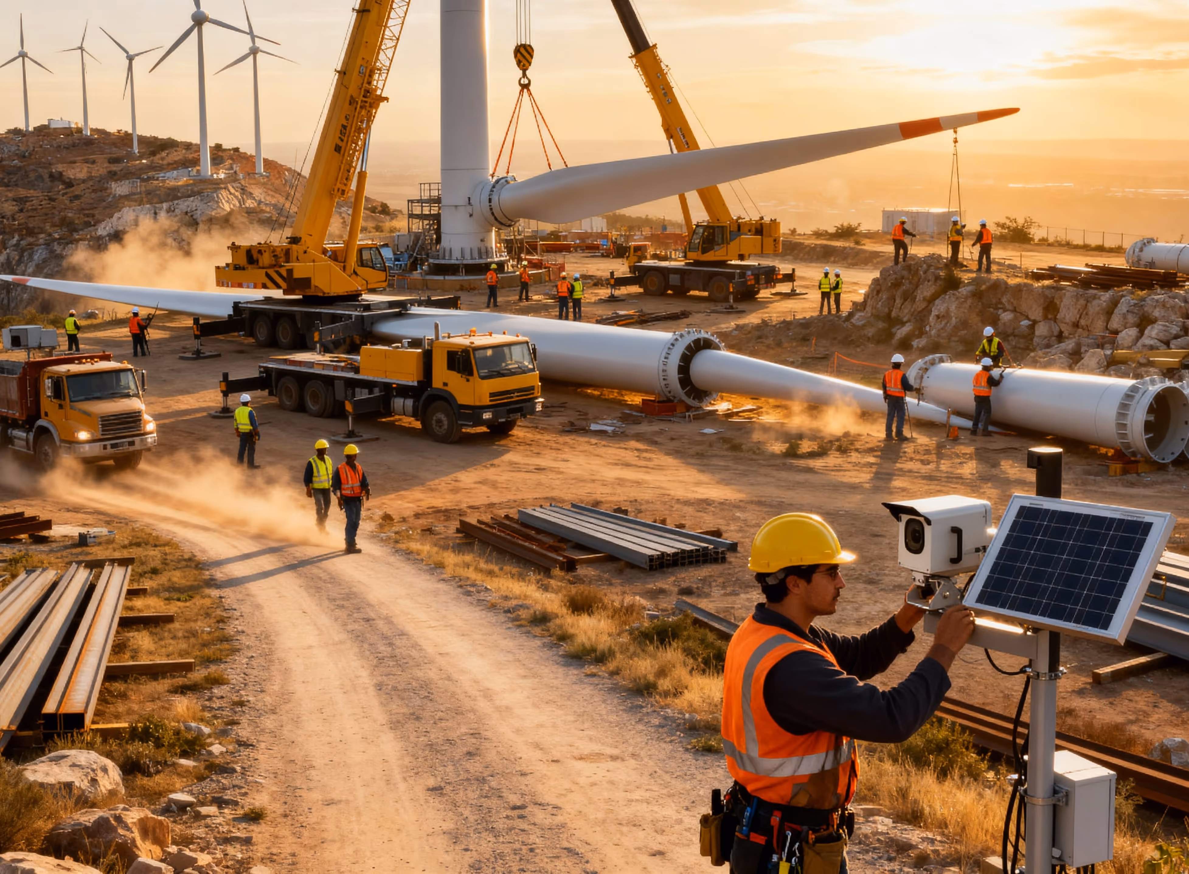
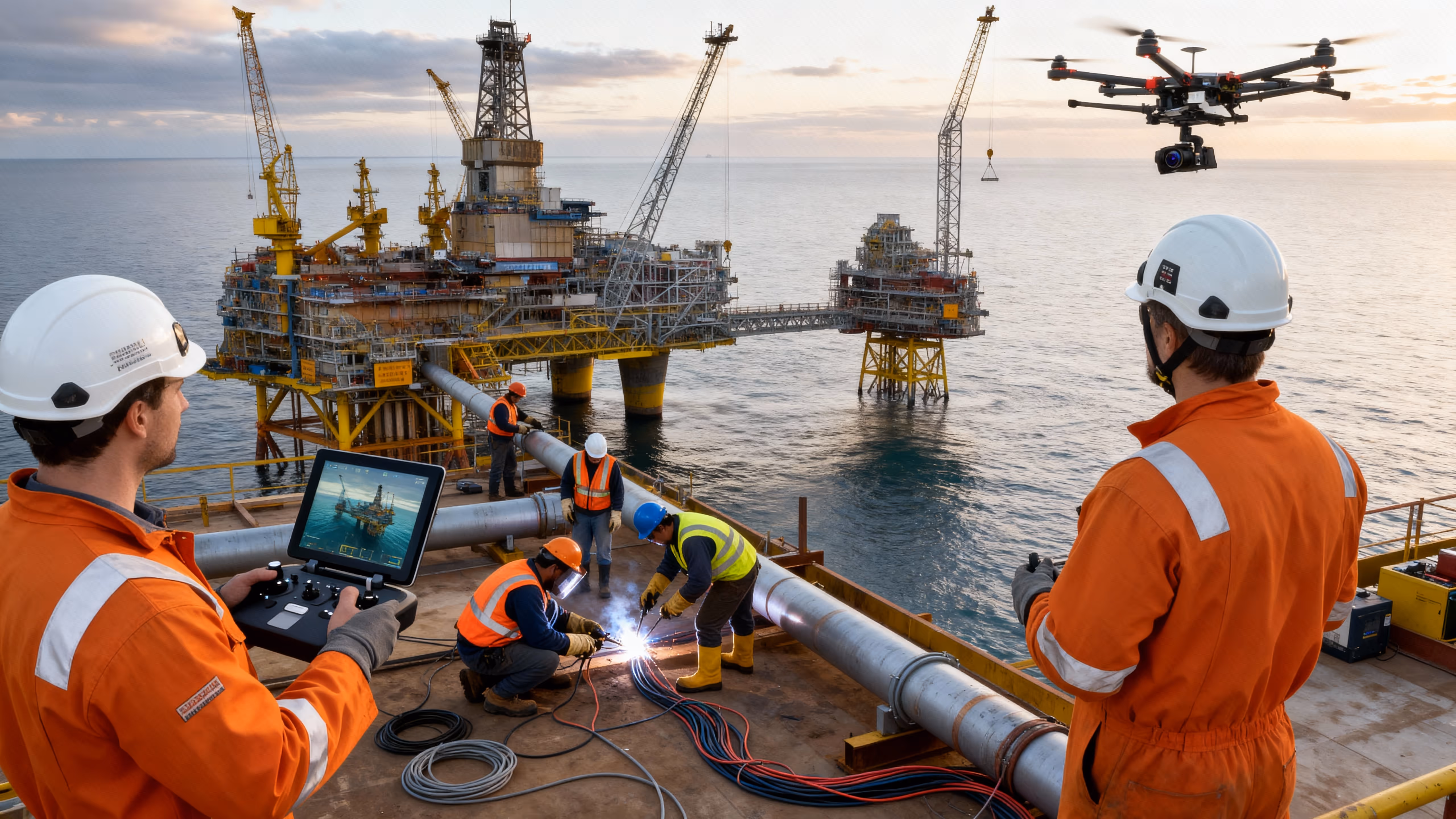
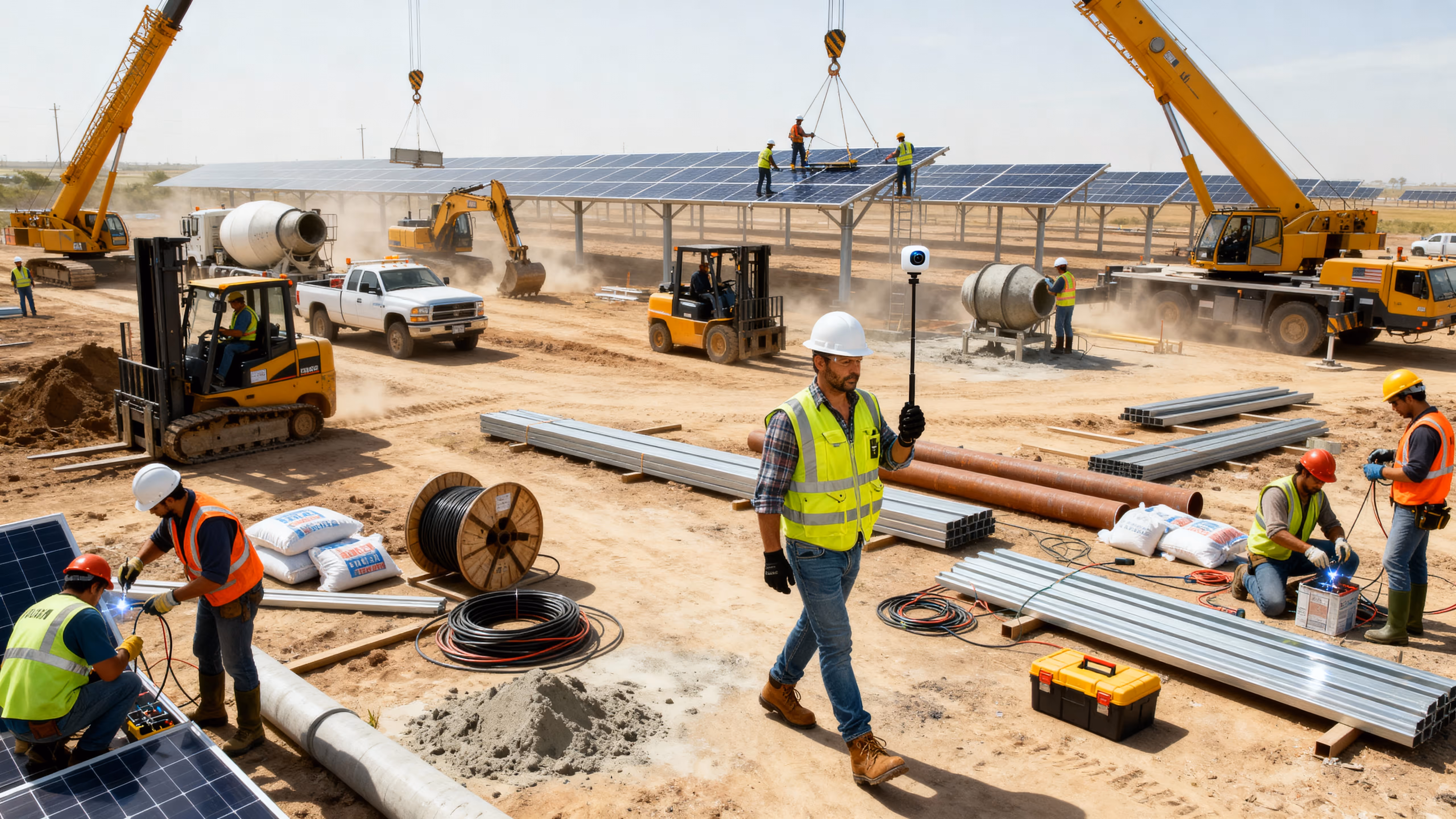
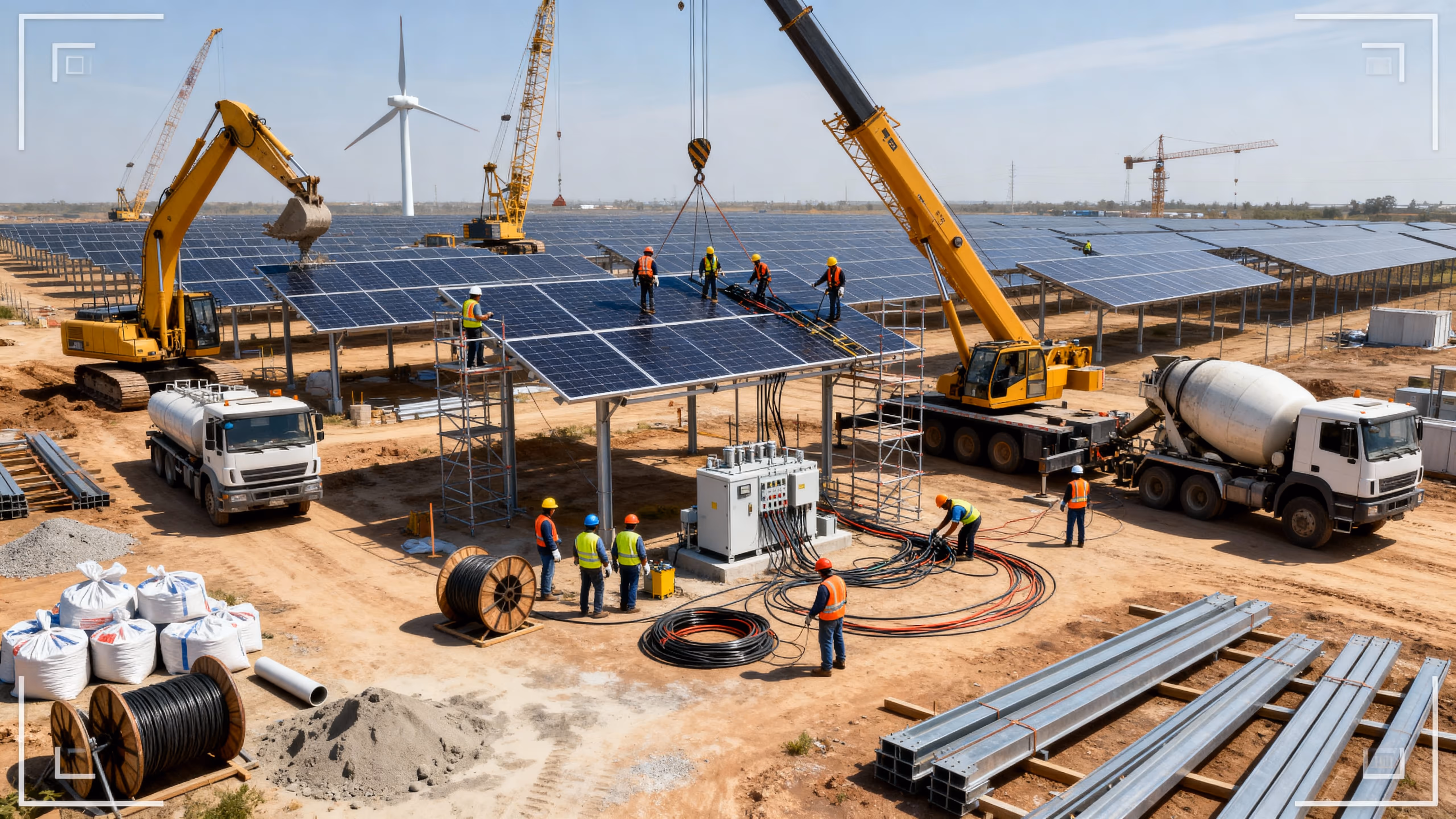
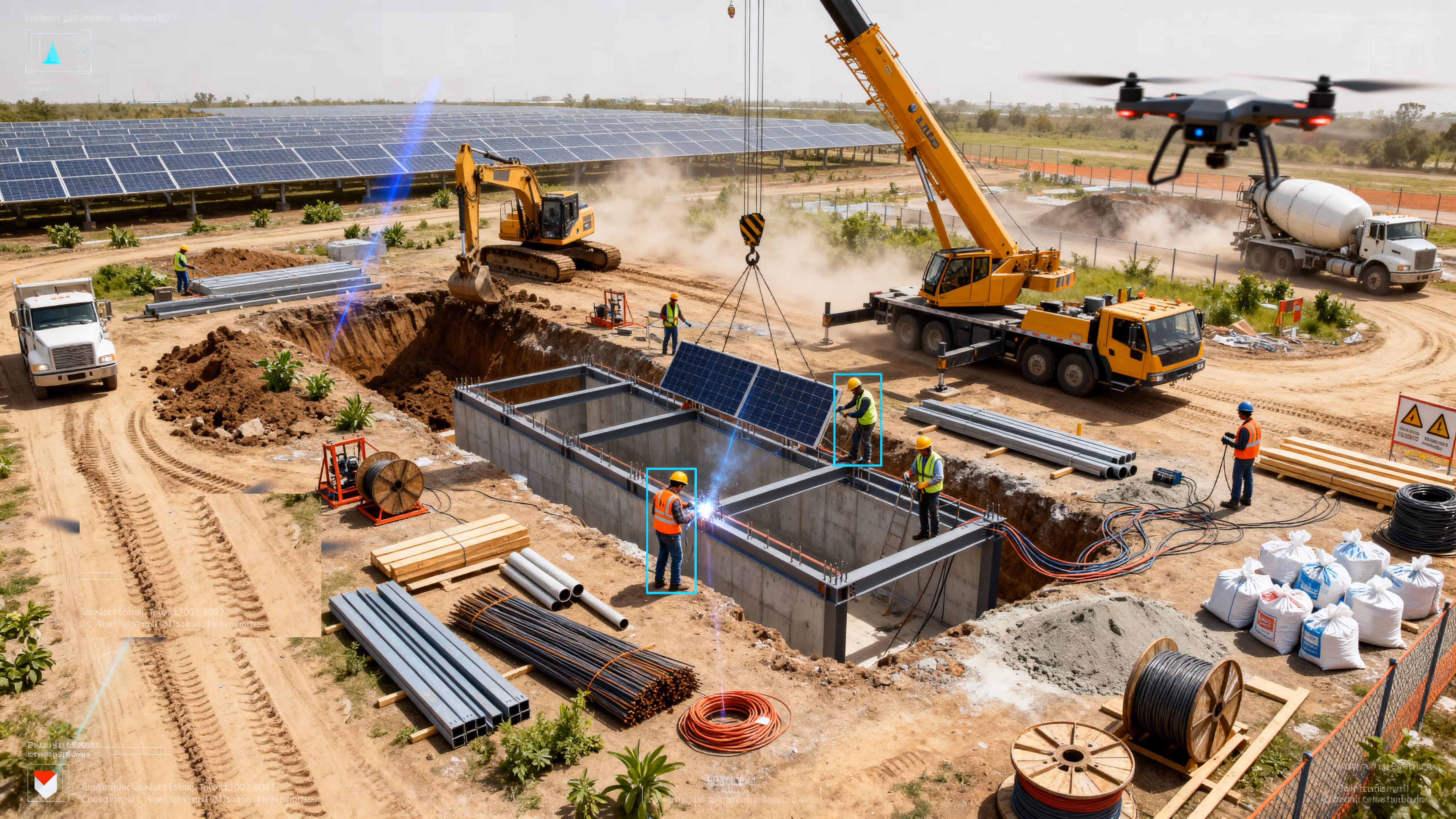
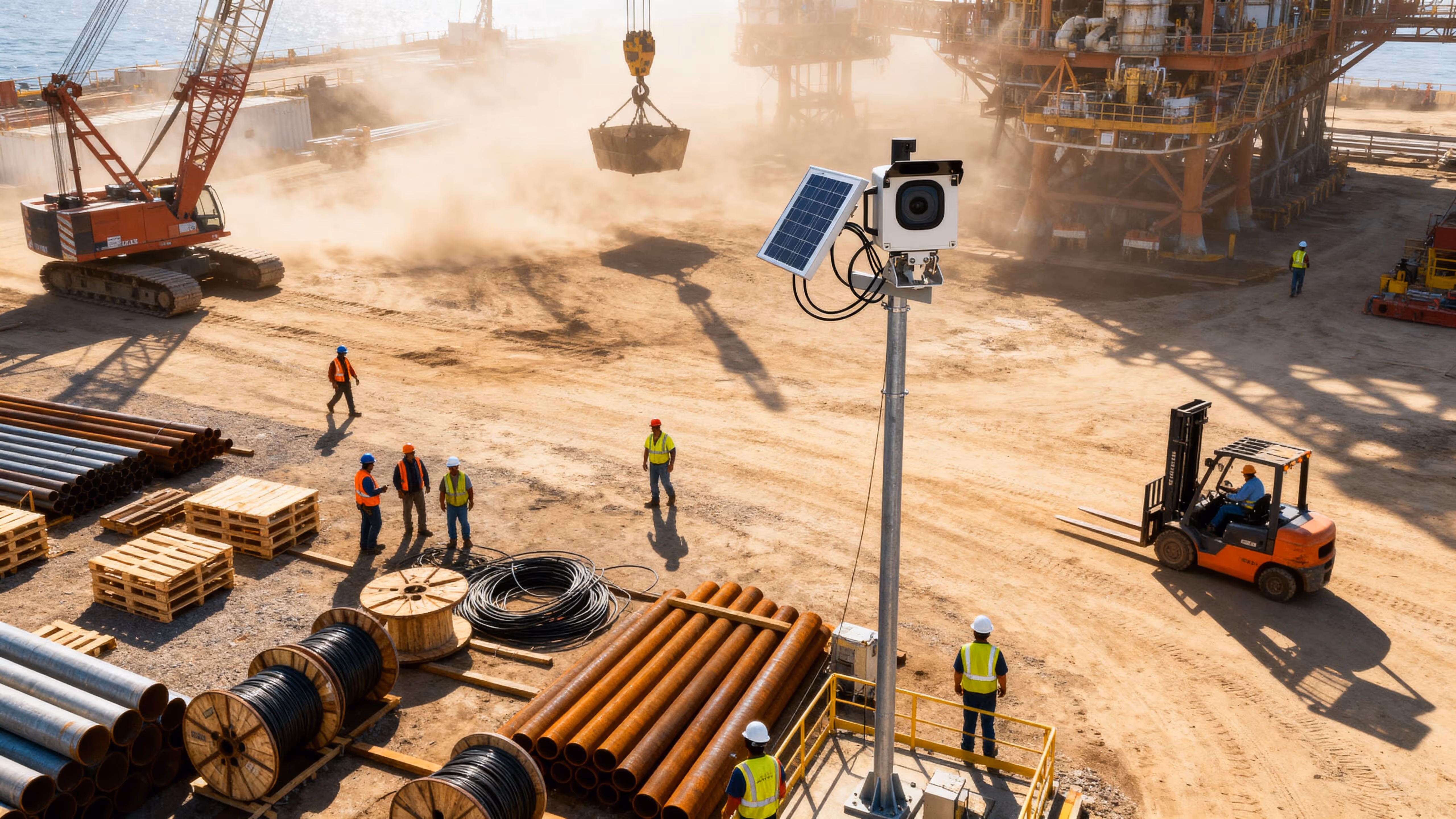
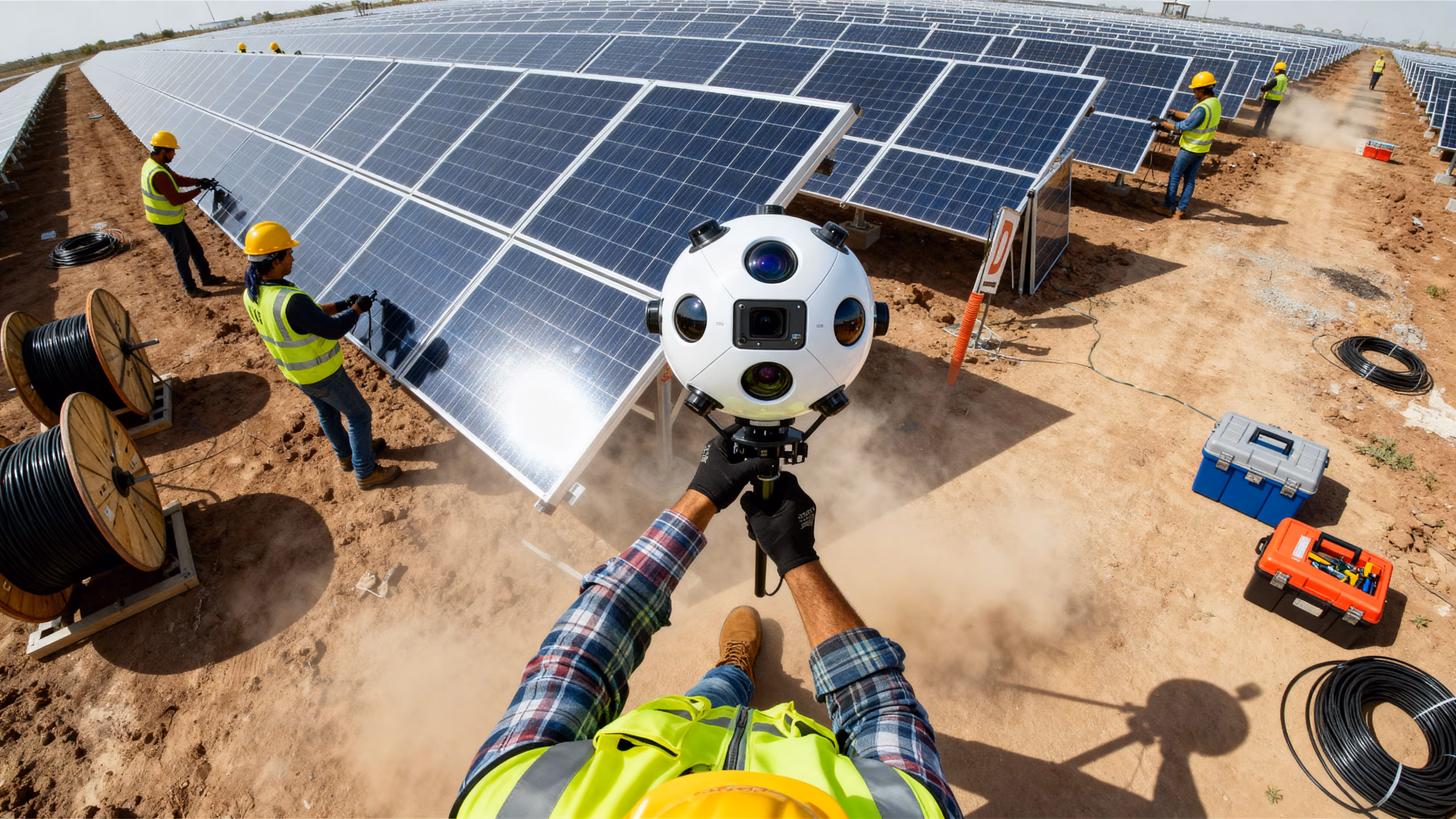
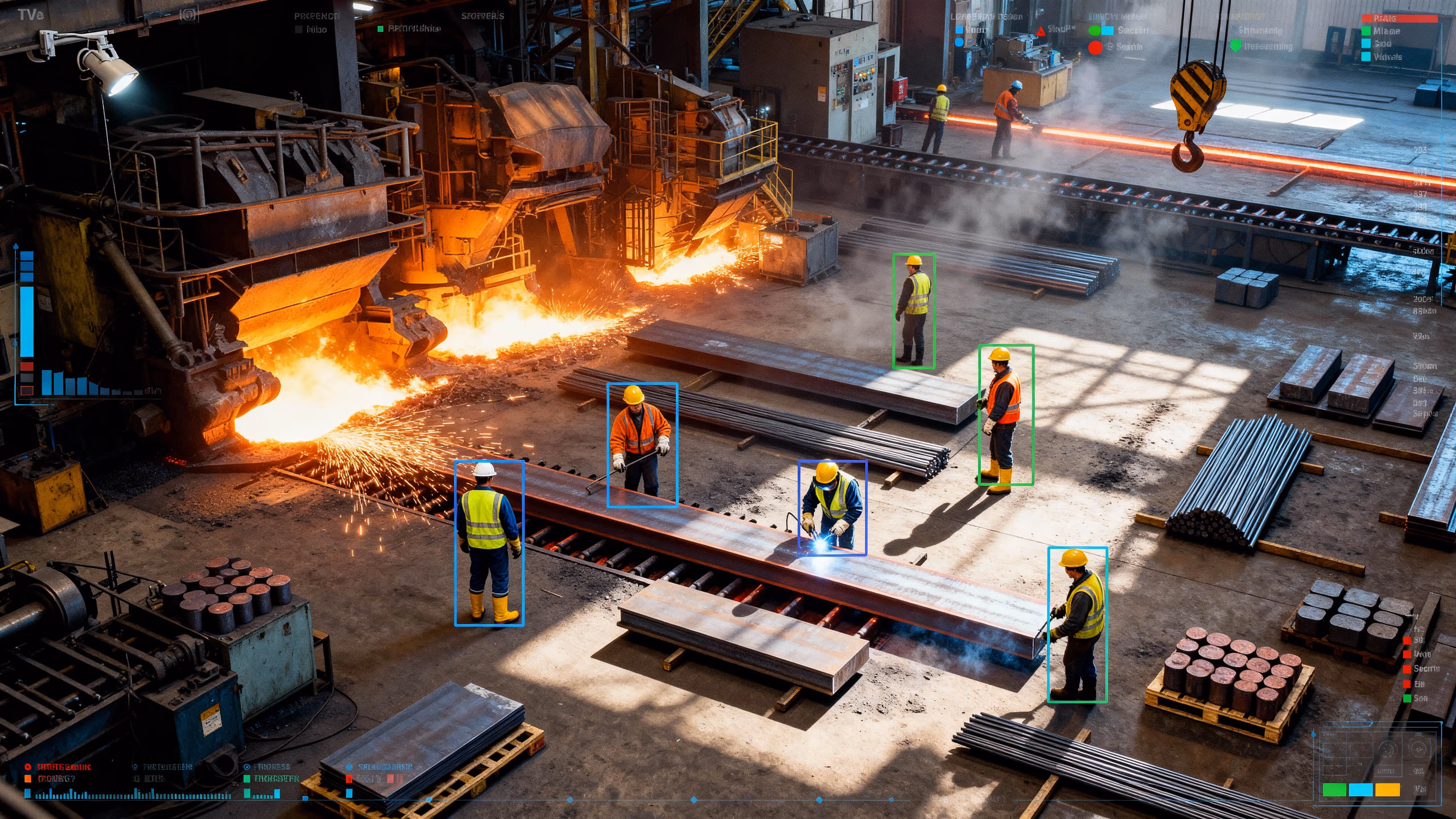
Remote Oversight for Reliable, Efficient Operations
Engineered for engineers
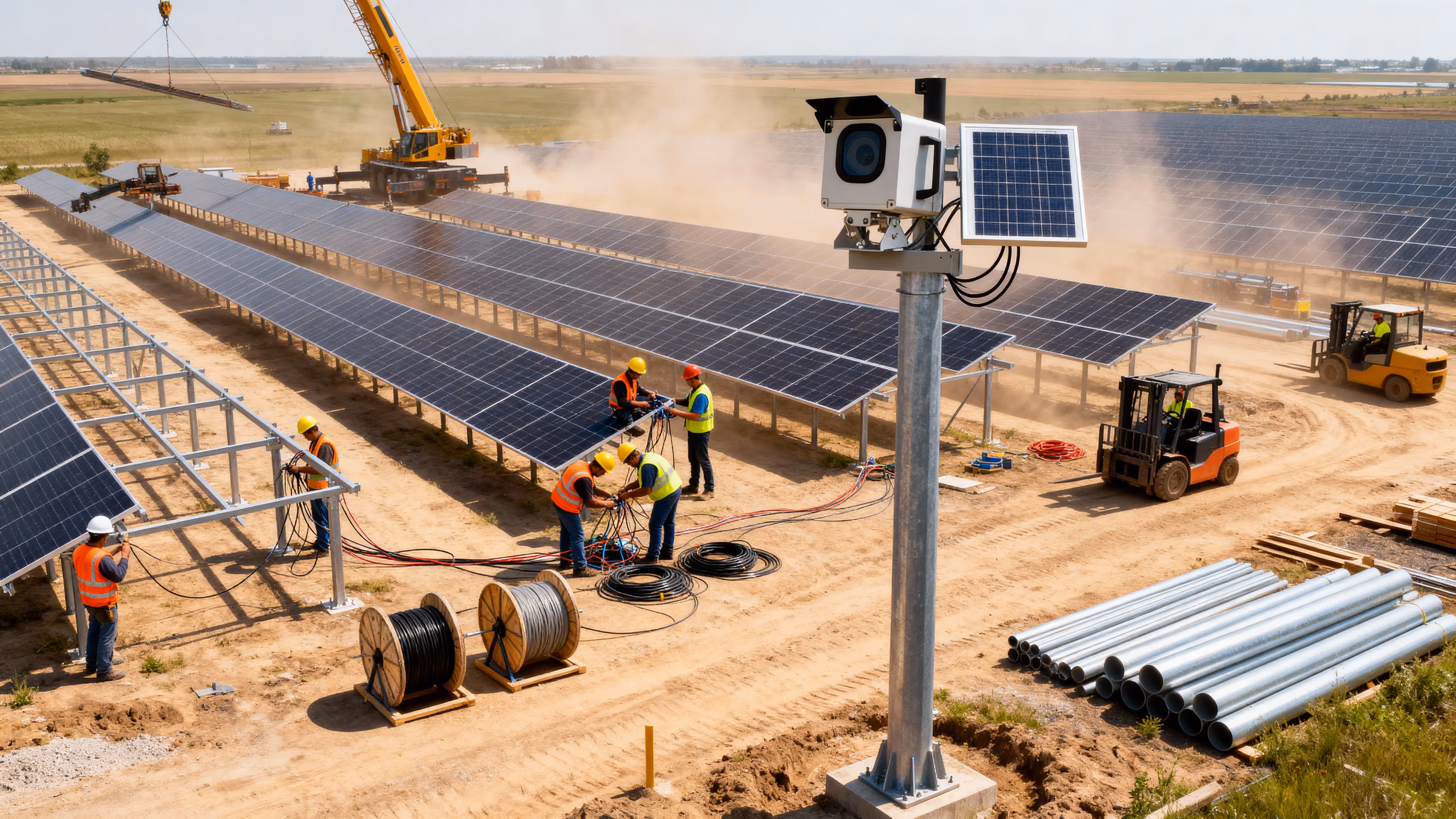
Energy
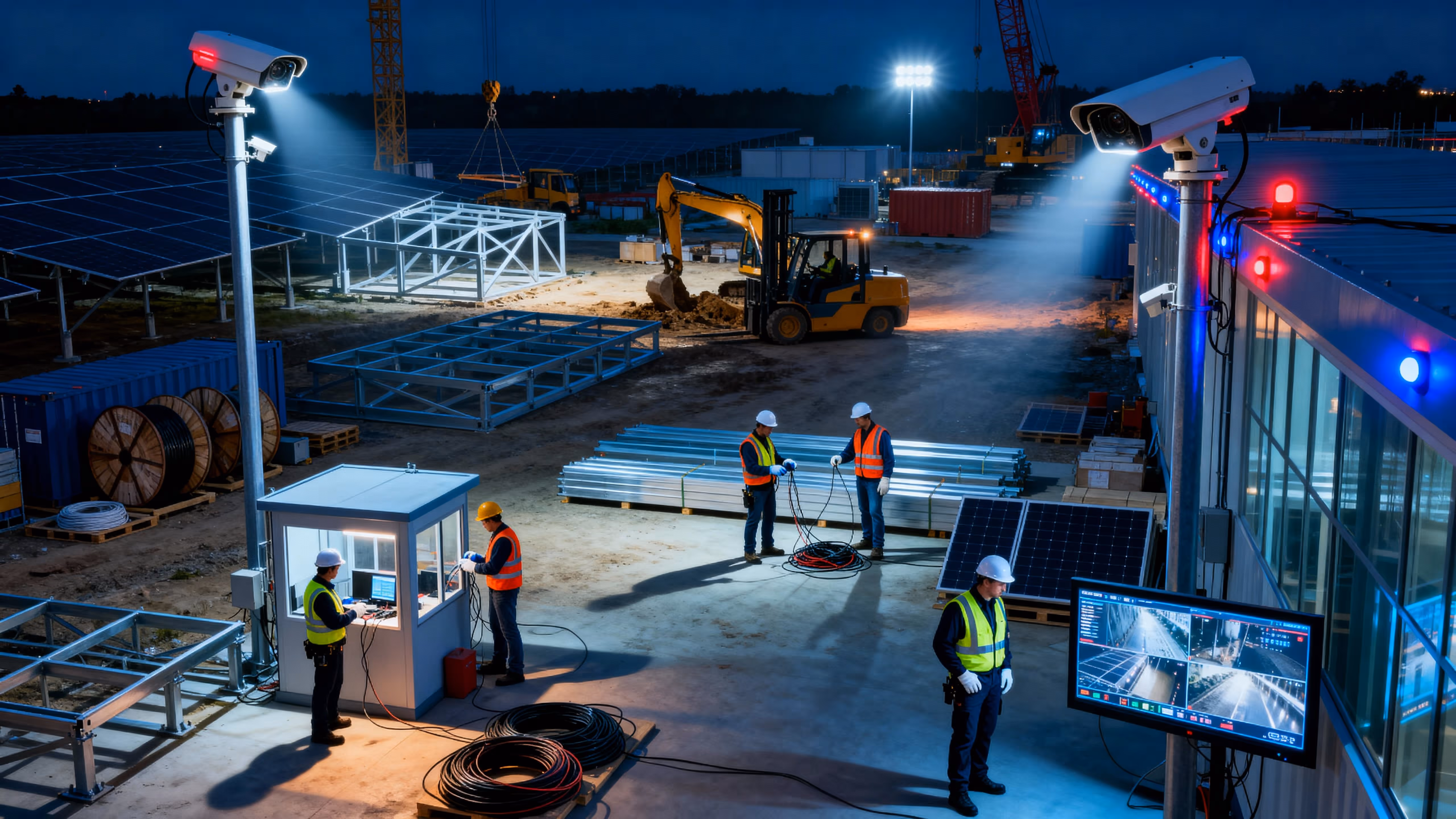
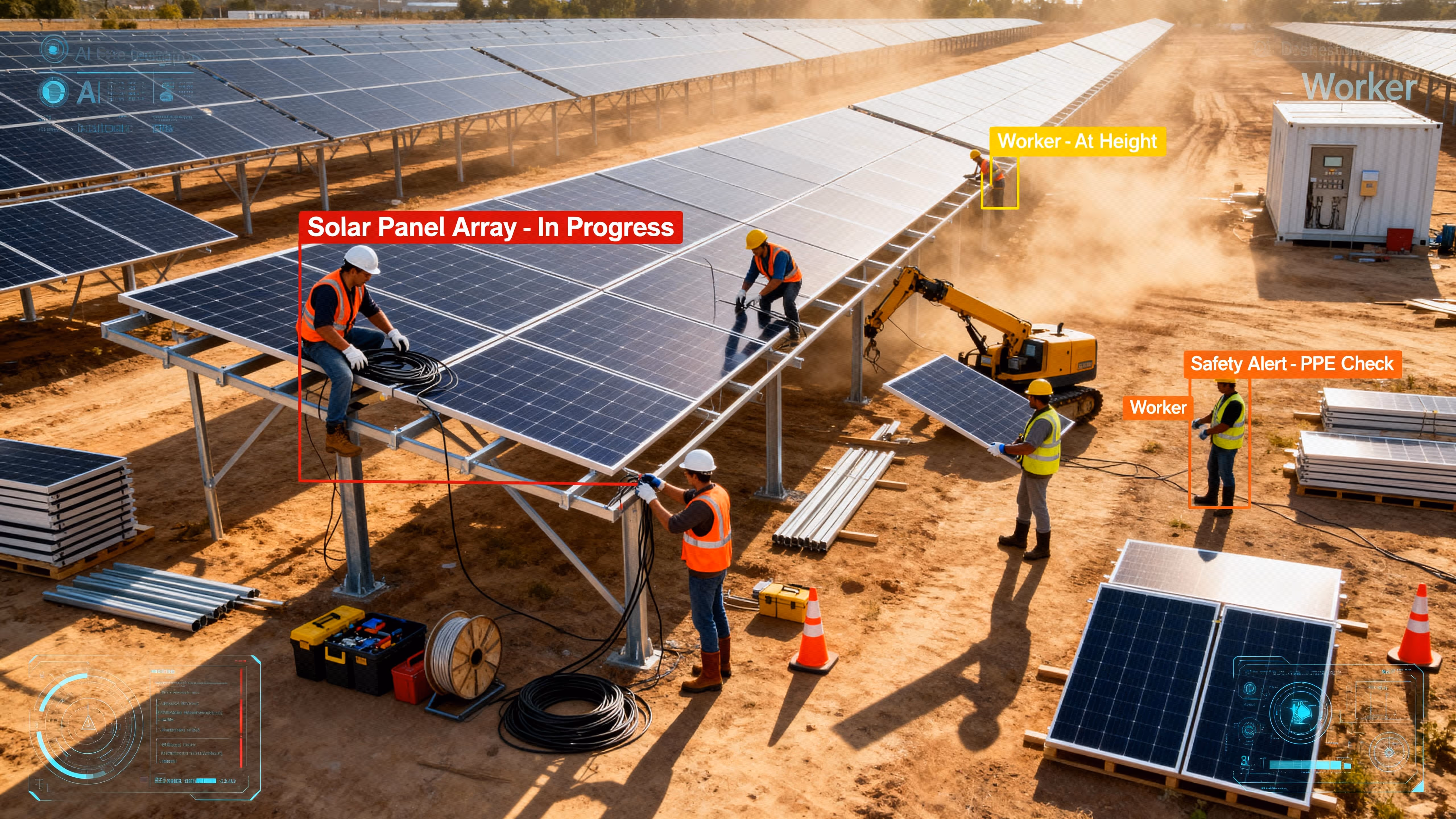
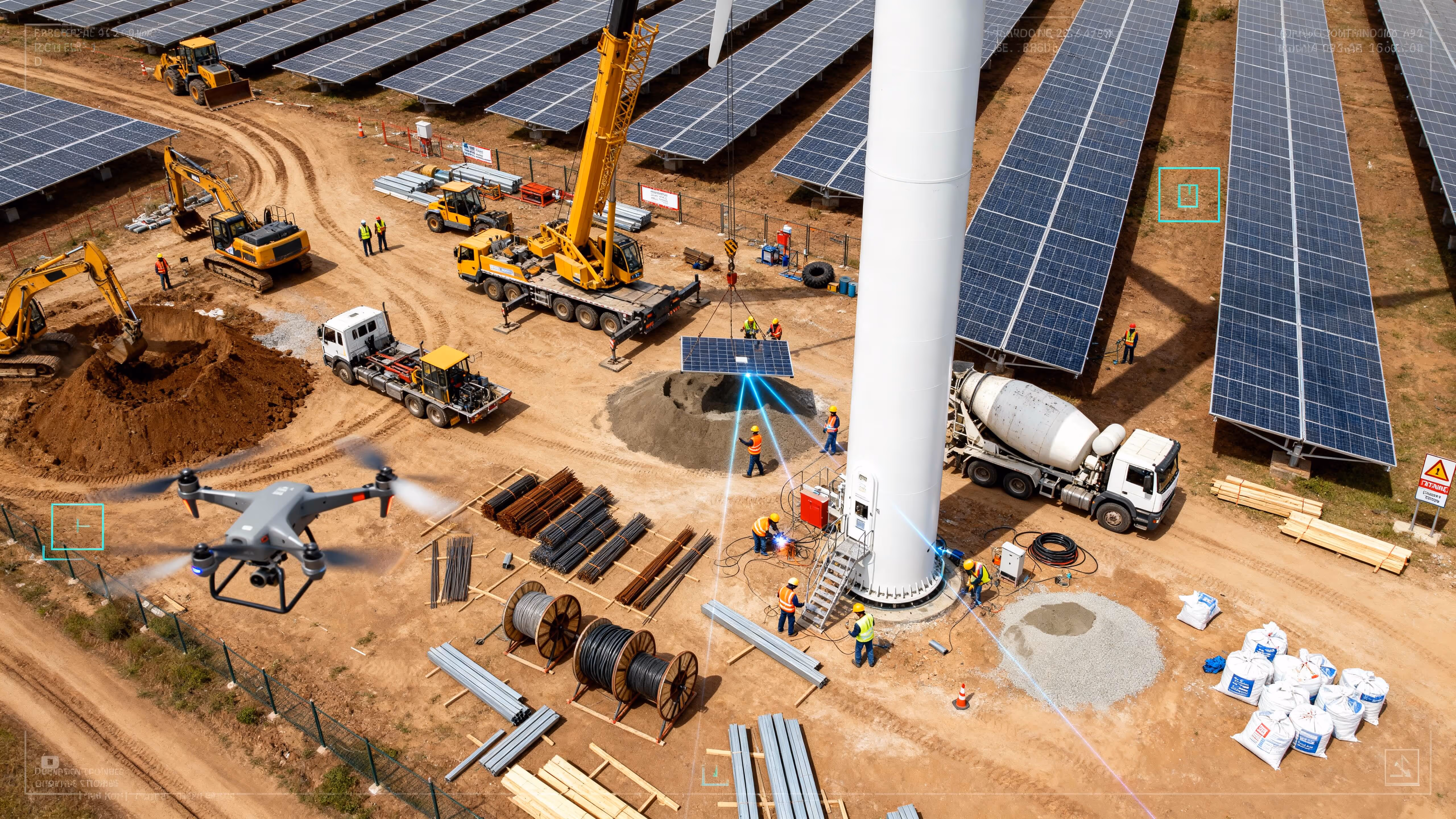
VOTACT™ provides the energy industry with advanced remote visual oversight capabilities for solar farms, substations, and power infrastructure.
Through AI-driven monitoring and drone inspections, it enhances safety, operational efficiency, and compliance with regulatory standards.
Improves schedule adherence, enforces protocols and archives commissioning footage.
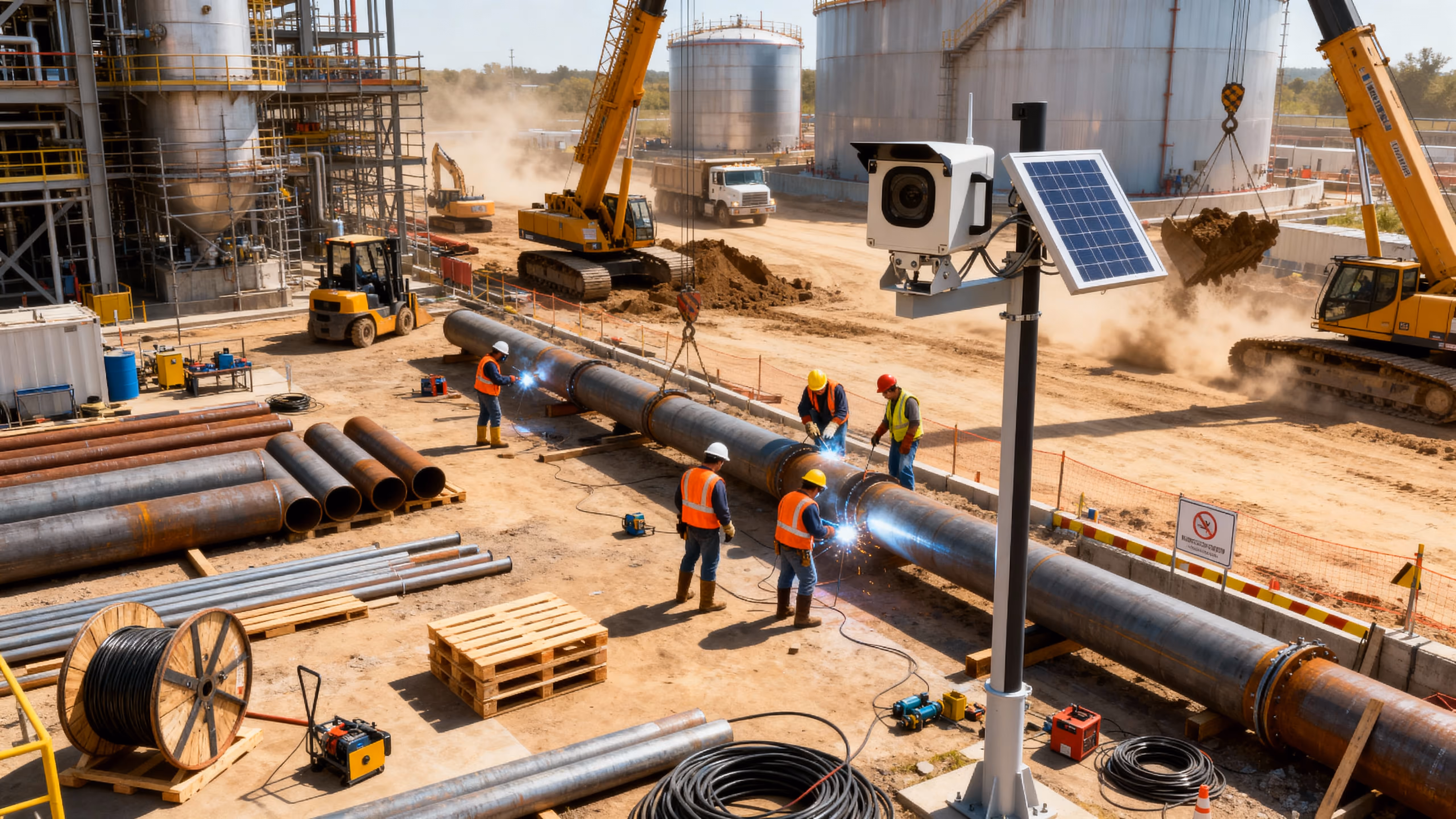
Monitor cable-laying, turbine erection, substation builds and gate access.
Cuts inspection costs, uncovers hot spots early, and boosts asset uptime.
Aerial inspections of wind-turbine blades, solar-array layouts, transmission lines and pylons; thermal anomaly surveys.
Delivers polished progress stories and underpins operations handovers.
Capture foundation pours, tower climbs and panel installations over entire project lifecycle.
Reduces shutdowns for inspections, supports safety drills, and archives as-built conditions.
Panoramic scans of plant interiors, control rooms and right-of-ways for design verification and safety walkthroughs.
Prevents costly downtime, enforces strict access rules, and accelerates commissioning checks.
Periodic panoramic “walk-throughs” at junctions and bridge approaches for remote virtual inspections.
Elevates stakeholder pride, supports regulatory reporting, and enhances corporate storytelling.
Executive-level films of commissioning, energization and ribbon-cutting events.
Delivers survey-grade topographic models quickly and supports planning.
Scheduled orthomosaic & 3D mapping flights to measure cut/fill volumes and compare against design plans.
Reduces travel, speeds stakeholder approvals, and digitally archives installations.
VR-ready site scans of switchyards, turbine internals and control rooms for remote design reviews.
Improves incident investigation, enforces SOPs, and reduces worker exposure.
Cameras on turbine platforms, switchyards and hoisting zones to enforce exclusion areas and log near-misses.
Prevents unexpected failures, reduces rope-access needs, and protects crews.
Pre-task aerial inspections of towers, blades and insulator strings to detect defects or hazards.
Drives corrective training and elevates site-safety culture.
Continuous time-lapse to spotlight recurring unsafe behaviors (e.g. unlatched harnesses) for targeted stand-downs.
Cuts on-site inspections and accelerates hazard remediation.
Immersive walkthroughs of plant interiors and substations for remote hazard tagging.
Accelerates response, prevents incidents, and enforces compliance.
Periodic panoramic “walk-throughs” at junctions and bridge approaches for remote virtual inspections.
Deters intrusions, enables rapid guard dispatch, and logs forensic evidence.
24/7 surveillance of substations, yards and control-room perimeters with automated fence-breach alarms.
Extends security coverage beyond fixed cameras.
Scheduled orthomosaic & 3D mapping flights to measure cut/fill volumes and compare against design plans.
Automates breach management and reduces monitoring workload.
Smart detection of unknown vehicles/personnel in geofenced zones with instant alerts.
Produces engaging visuals that support funding, PR and regulatory submissions.
Aerial hero shots of turbines, substations and panel arrays to illustrate project scope and scale.
Delivers a clear story arc and maximizes emotional engagement.
Start-to-finish time-lapse (site prep → commissioning) as the narrative core of final videos.
Enhances stakeholder immersion and digital archives.
Periodic 360 panoramic “walk-throughs” at junctions and bridge approaches for remote virtual inspections.
Creates polished deliverables that memorialize and market the project.
Broadcast-quality documentaries combining all capture modes with motion graphics for ribbon-cuttings.
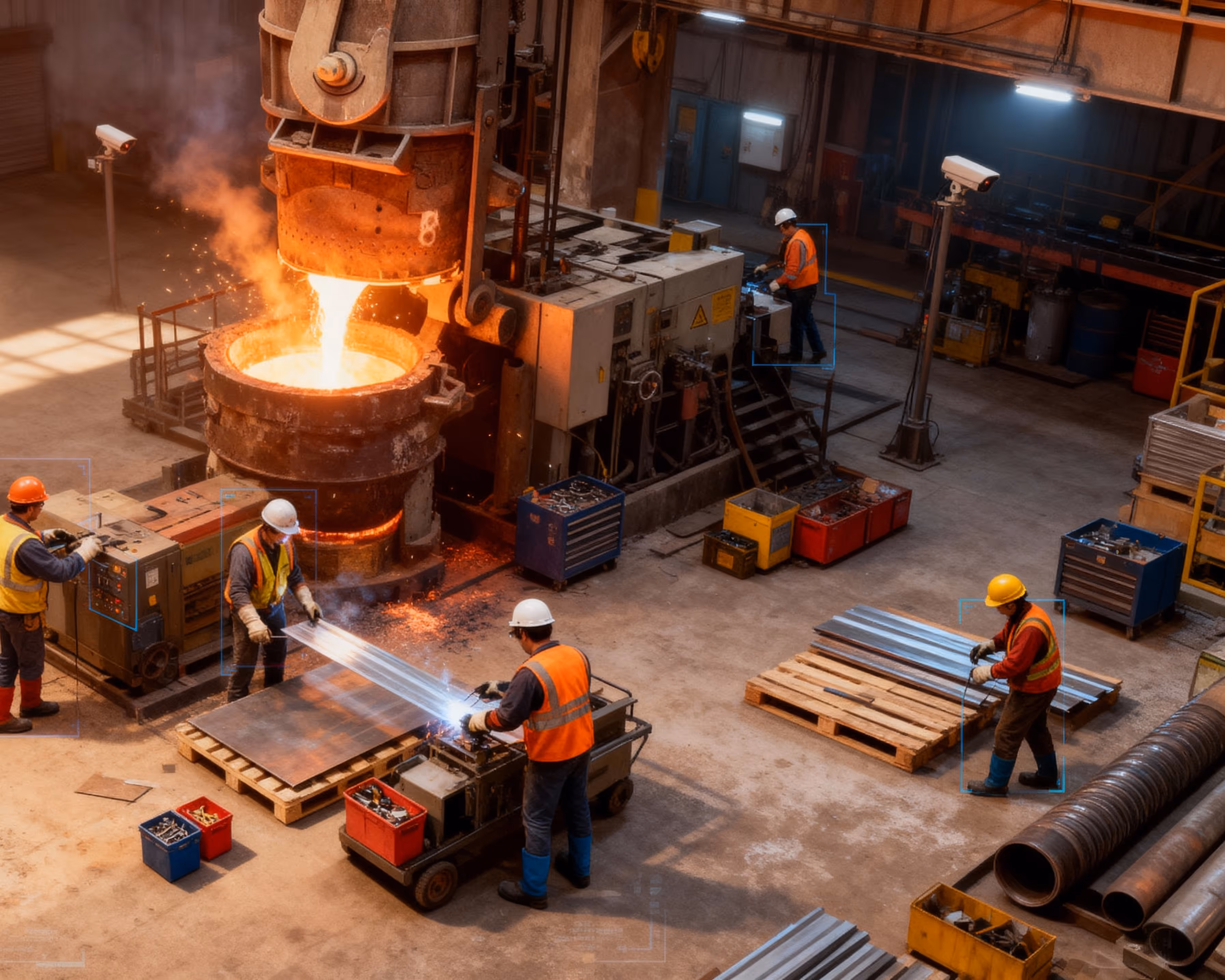
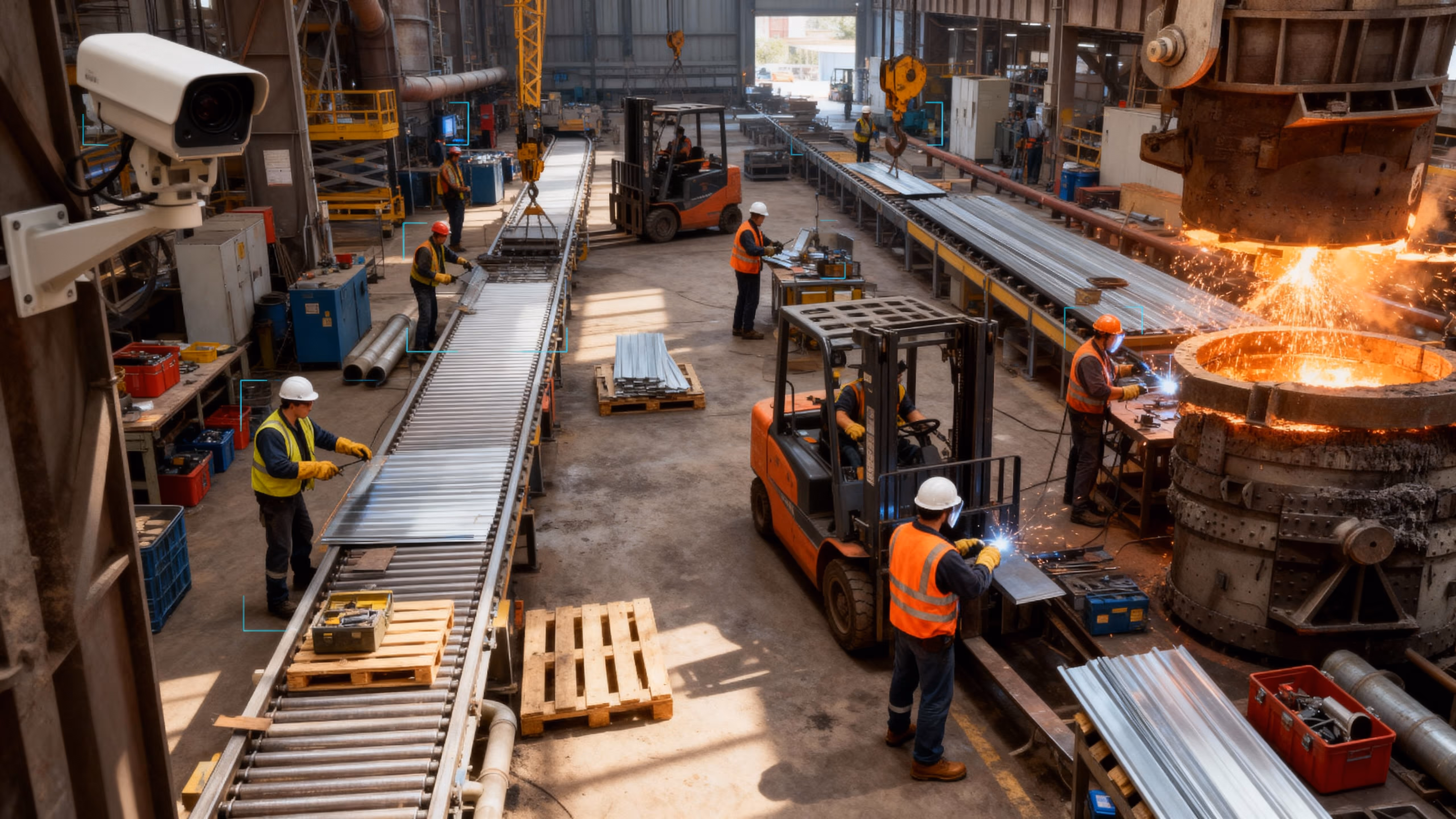
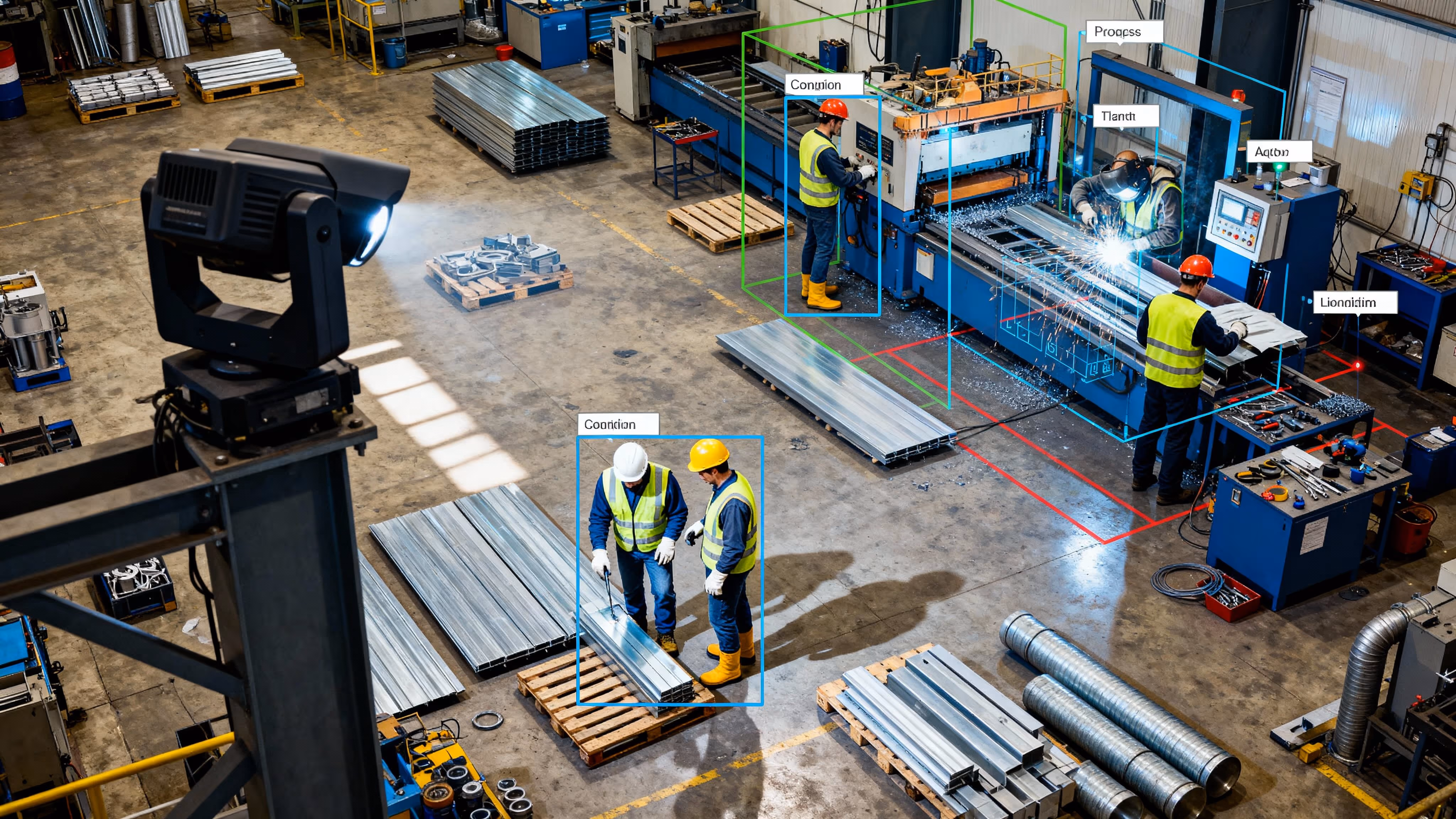
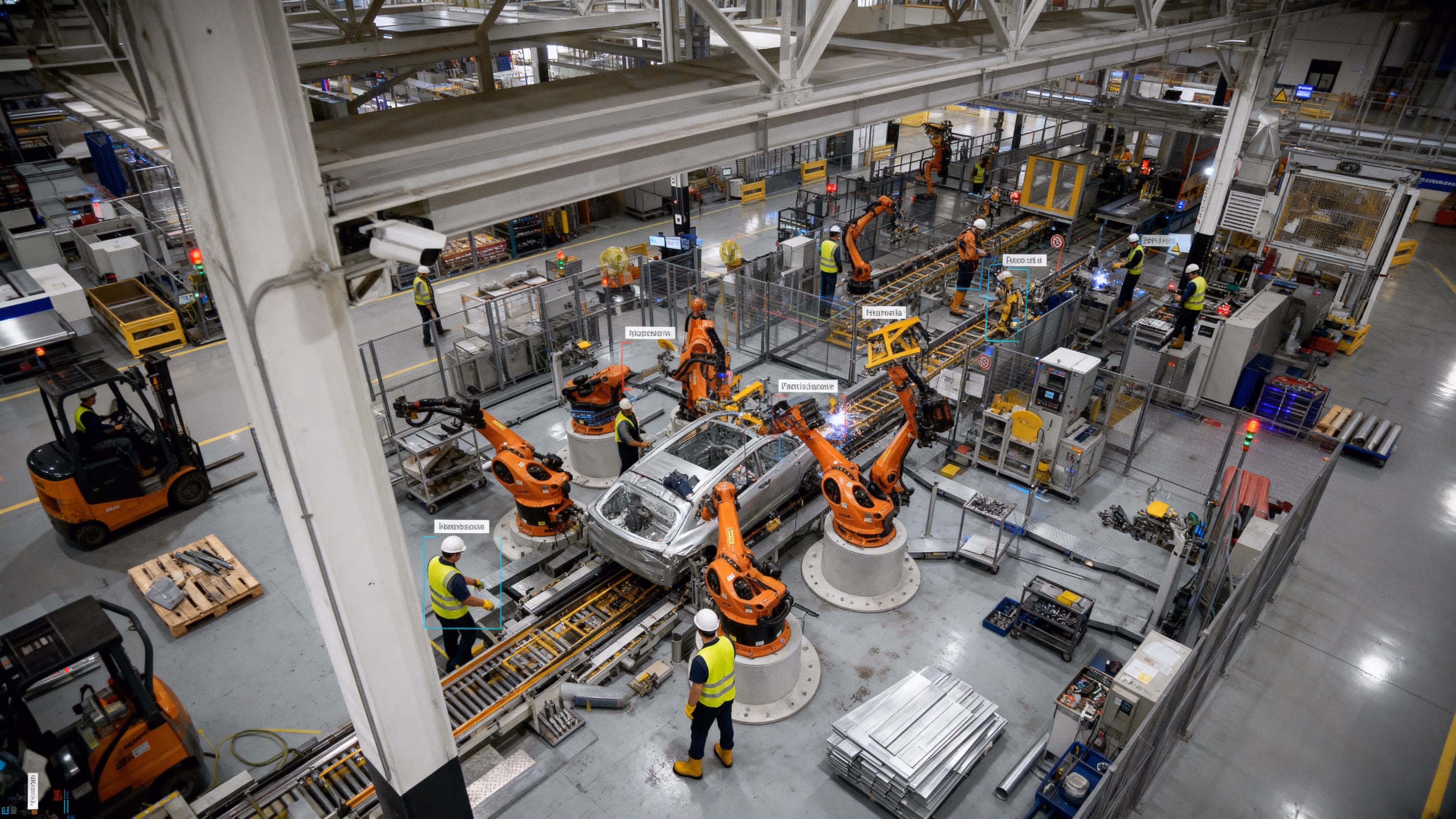
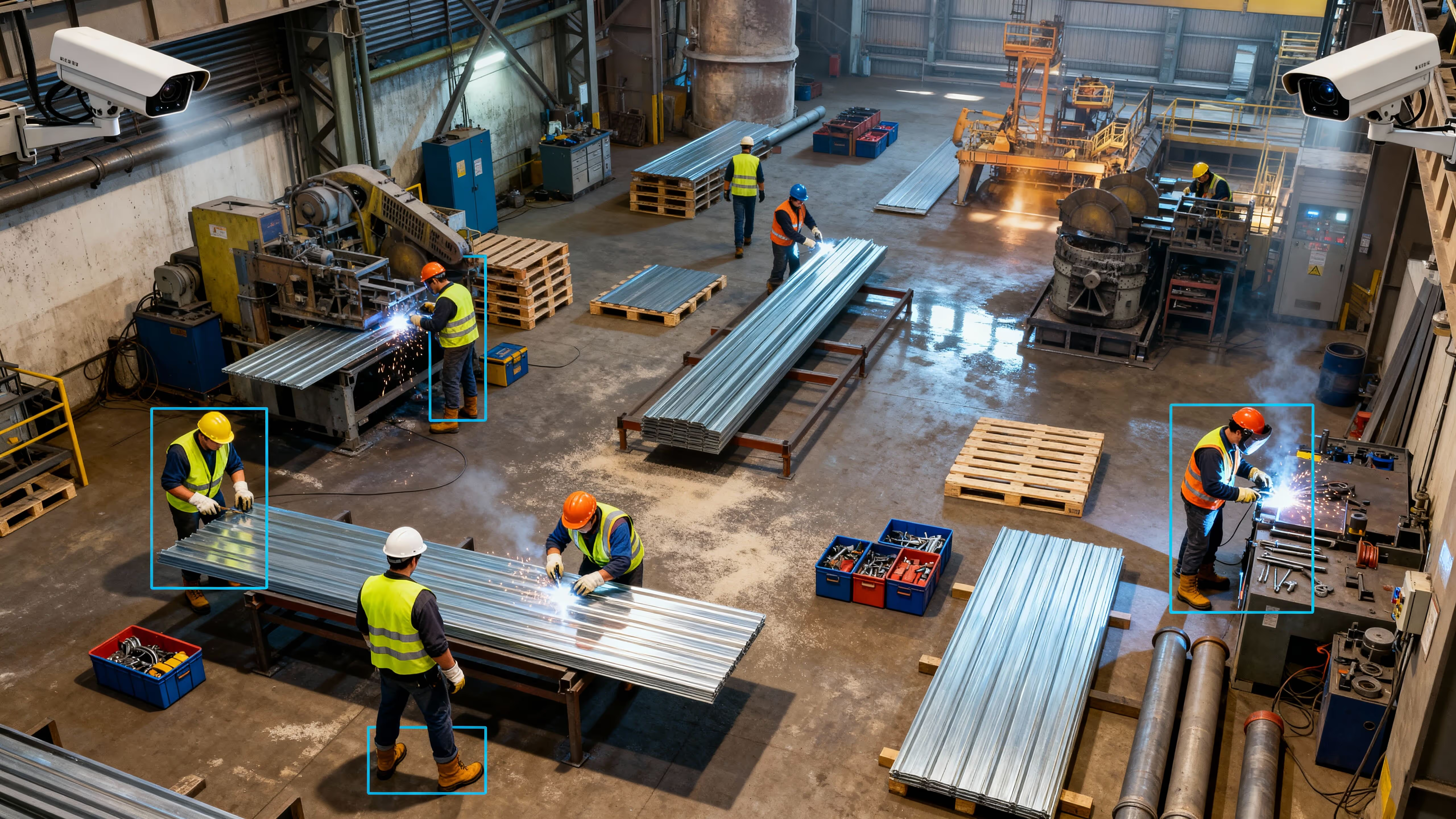
Visual Intelligence Driving Productivity and Safety
Engineered for engineers
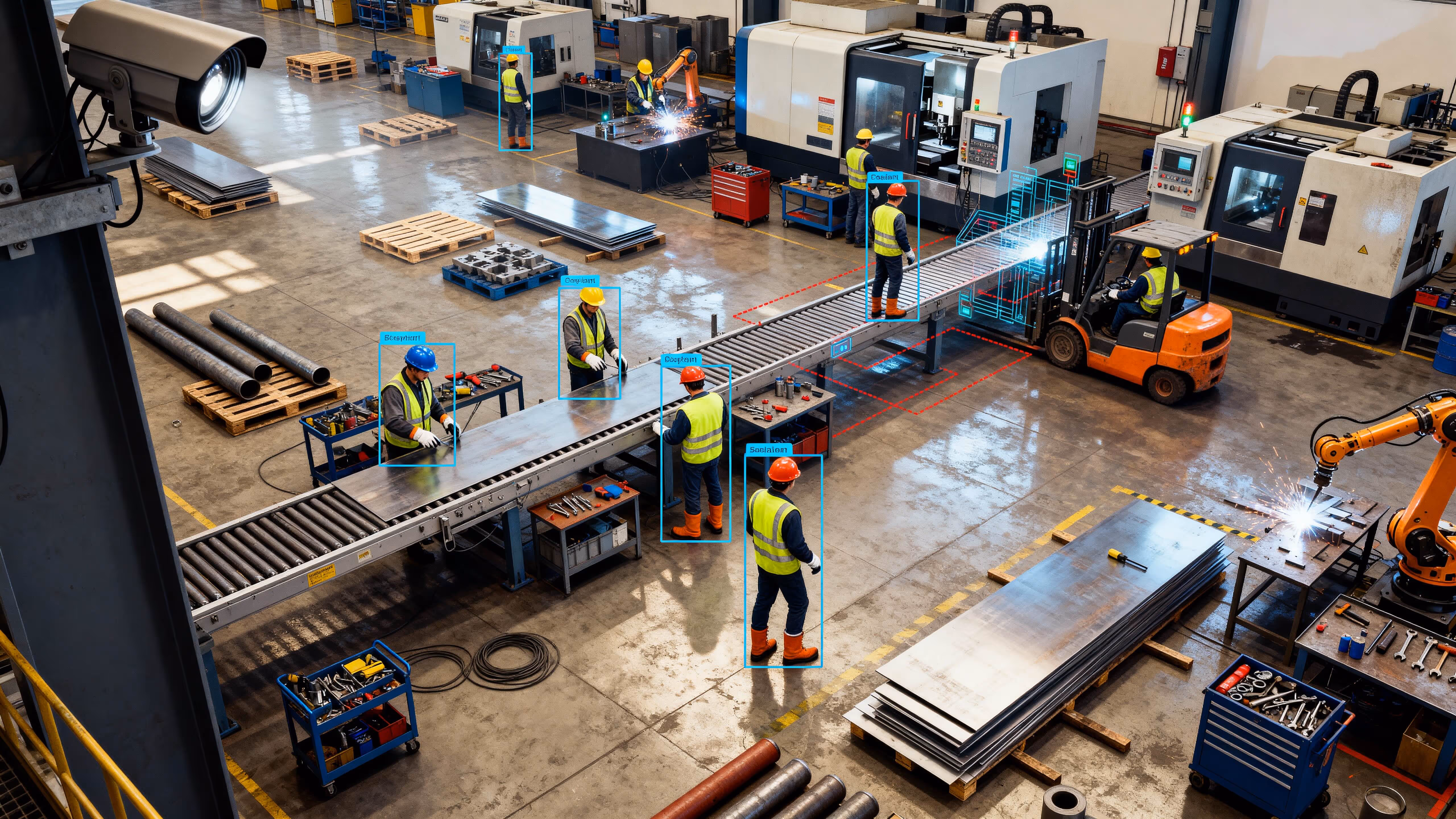
Manufacturing
VOTACT™ enhances manufacturing facilities by employing AI-driven visual monitoring systems that streamline operational efficiency and bolster safety protocols.
Our solutions offer comprehensive surveillance and performance analytics across production areas and logistics sectors.
Boosts throughput consistency, reduces rework, and provides audit-grade progress records.
Fixed roadside cameras track pavement, grading and material-layout milestones.
Speeds inventory audits, uncovers structural issues and reduces manual inspections.
Fixed roadside cameras track pavement, grading and material-layout milestones.
Provides visual records for change-management and lean initiatives.
Capture machinery installations, line changeovers and facility expansions into time-compressed clips.
Cuts travel costs, accelerates compliance audits, and enhances onboarding.
Virtual plant tours for design reviews, remote audits and operator training.
Drives quality up, scrap down, and moves toward zero-incident production.
Real-time defect detection, safety-zone enforcement and throughput analytics on video feeds.
Elevates training, marketing collateral and stakeholder communications.
Shop-floor highlight reels with motion graphics and VO to showcase process capabilities to clients and internal teams.
Improves incident investigations and reduces exposure to moving equipment.
Cameras at machine guards, loading docks and hazardous-zone perimeters to enforce exclusion areas.
Accelerates response and enforces compliance.
Real-time detection of PPE violations, unauthorized access or zone breaches with instant alerts.
Deters theft, enables rapid response and logs forensic evidence.
24/7 surveillance of perimeters, storage yards and loading docks with automated breach alarms.
Automates breach management and reduces monitoring effort.
Smart detection of unknown vehicles/personnel in geofenced zones with auto-dispatched alerts.
Delivers a clear narrative arc that maximizes stakeholder engagement.
End-to-end time-lapse (site prep → equipment install → commissioning) as the story backbone.
Creates polished deliverables that memorialize and market the facility.
Broadcast-quality films combining all capture modes with graphics and VO for grand openings.
Transparent Monitoring for Accountable Development
Engineered for engineers
Public Sectors
For civic and infrastructure projects, VOTACT™ provides comprehensive, transparent visual monitoring that is audit-ready.
Our systems enhance accountability, facilitate progress tracking, and ensure that public projects remain secure, compliant, and thoroughly documented.
Enhances transparency, provides audit trails, and supports funding approvals.
Document public-works (roads, parks, civic buildings) with fixed cameras to track milestones.
Improves situational awareness, speeds response and enables data-driven planning.
Urban planning surveys, flood/fire emergency mapping and large-event security overviews.
Communicates civic-project value, boosts engagement, and archives cultural heritage.
Time-lapse of landmark restorations, park builds and streetscape improvements for public communication.
Expands public access, preserves records digitally, and lowers site-visit burdens.
Virtual town-hall tours, heritage-site documentation and remote inspection of infrastructure.
Enhances public-safety planning, prevents unauthorized access, and ensures on-time delivery.
Crowd-density analysis, perimeter-breach alerts and construction progress forecasting from live feeds.
Builds public trust, documents institutional memory, and strengthens community outreach.
Documentary-style films of major civic initiatives, stakeholder interviews and ribbon-cuttings.
Supplements survey crews, increases frequency and ensures accurate baselines.
LiDAR-equipped cameras for street-level topography and right-of-way mapping.
Delivers high-resolution maps for planning and regulatory compliance.
Aerial photogrammetry of urban blocks, infrastructure corridors and environmental sites.
Automates visual archives of site pre-conditions.
Time-lapse of geotechnical pits, remediation works and pre-construction conditions.
Reduces travel, speeds stakeholder approvals, and digitally preserves as-built conditions.
VR-ready scans of civic facilities, maintenance yards and control rooms for remote design reviews.
Enables proactive project management and reduces manual calculations.
Volumetric analytics on drone/LiDAR feeds to detect earthworks variances and forecast completion dates.
Elevates transparency, boosts public confidence and differentiates agencies.
Site-overview videos combining overlays, fly-throughs and timelapse for public reporting.
Reduces accidents, enforces protocols and provides post-incident evidence.
Cameras on stairwells, scaffolds and work zones at civic sites to enforce exclusion areas.
Prevents failures, reduces rope-access needs and keeps crews safe.
Pre-task aerial inspections of embankments, bridges and rooftops to detect hazards.
Drives corrective training and elevates safety culture.
Continuous time-lapse to spot repeated unsafe behaviors (e.g. missing barriers) for targeted stand-downs.
Enhances incident response and public-safety planning.
Real-time crowd-density alerts and perimeter breach notifications via app/SMS.
Deters vandalism, enables rapid response and logs forensic evidence.
Secure monitoring at courthouses, civic buildings and project sites with automated breach alarms.
Extends the eyes in the sky for event security and critical-site protection.
Scheduled orthomosaic & 3D mapping flights to measure cut/fill volumes and compare against design plans.
Automates perimeter-breach management and reduces manual oversight.
Smart detection of unknown persons/vehicles in geofenced zones with instant alert dispatch.
Saves setup time, ensures daily continuity and enriches narratives.
Timelapse from fixed cams repurposed in civic project documentaries.
Creates engaging visuals that drive public support and media coverage.
Hero aerial fly-throughs of public works, parks and buildings to illustrate project scope.
Delivers compelling arcs that maximize community pride.
Start-to-finish time-lapse (ground-break → opening) as the storytelling backbone.
Creates polished films that memorialize civic achievements and engage constituents.
Broadcast-quality documentaries combining all capture modes, stakeholder interviews and motion graphics.
Book your demo today
Facilitating industry-wide project sites through advanced visual monitoring capabilities
Frequently Asked Questions
.avif)
How does VOTACT adapt its solutions to different industries?
VOTACT™ customizes its visual monitoring systems—CCTV, drones, 360° capture, timelapse, and AI analytics—to match each sector’s environment, safety standards, and operational goals.
Can VOTACT integrate with existing site systems and workflows?
Yes. Our platform connects seamlessly with current networks, cameras, and project management tools without disrupting ongoing operations or data structures.
What kind of insights do industries gain from VOTACT monitoring?
Clients receive real-time visibility, automated progress tracking, safety alerts, and compliance-ready documentation—enabling faster, data-backed decisions.
Is VOTACT suitable for both small and large-scale projects?
VOTACT’s modular design scales from single-site monitoring to enterprise-level multi-location oversight, adapting efficiently to any project size or complexity.
5. How does VOTACT support compliance and audit requirements?
Every visual record is timestamped, geo-referenced, and securely archived, ensuring transparent reporting and easy verification for audits and regulatory checks.